Ross Sea Region Soil Sites
453000
453
12-Dec-1979
IBC, GGC
West Antarctica in Ellsworth Land at the southern end of the Ellsworth Mountains
Soil weathering examination
US Geological Survey, 1:250 000, 1967, Union Glacier
CS Pro
No
-81.9833
-79.8917
79deg 53.5'S
81deg 59.0'E
The Enterprise Hills region of the Ellsworth Mountains; north of Parrish Peak on a lower valley surface of recently ablated till on a low hummocky moraine ridge
0
Nil
825
cf. Notes for GEOLAND below
Soil is dry but thin drifting snow is immediately thawing and moistening the surface rocks
-20
Inland/Coastal Mountain
Thin pebble gravel till over stagnant ice; the soil parent material is unweathered but a few altered clasts represent pre- weathered material incorporated into the glacial system
Nil observed
Weakly developed nets with slight wedging and concentration of coarse fragments in patterned ground cracks
| SURFACE WEATHERING or |
| SURFACE FEATURES |
There is a concentration of surface pebbles which are unweathered
Nil
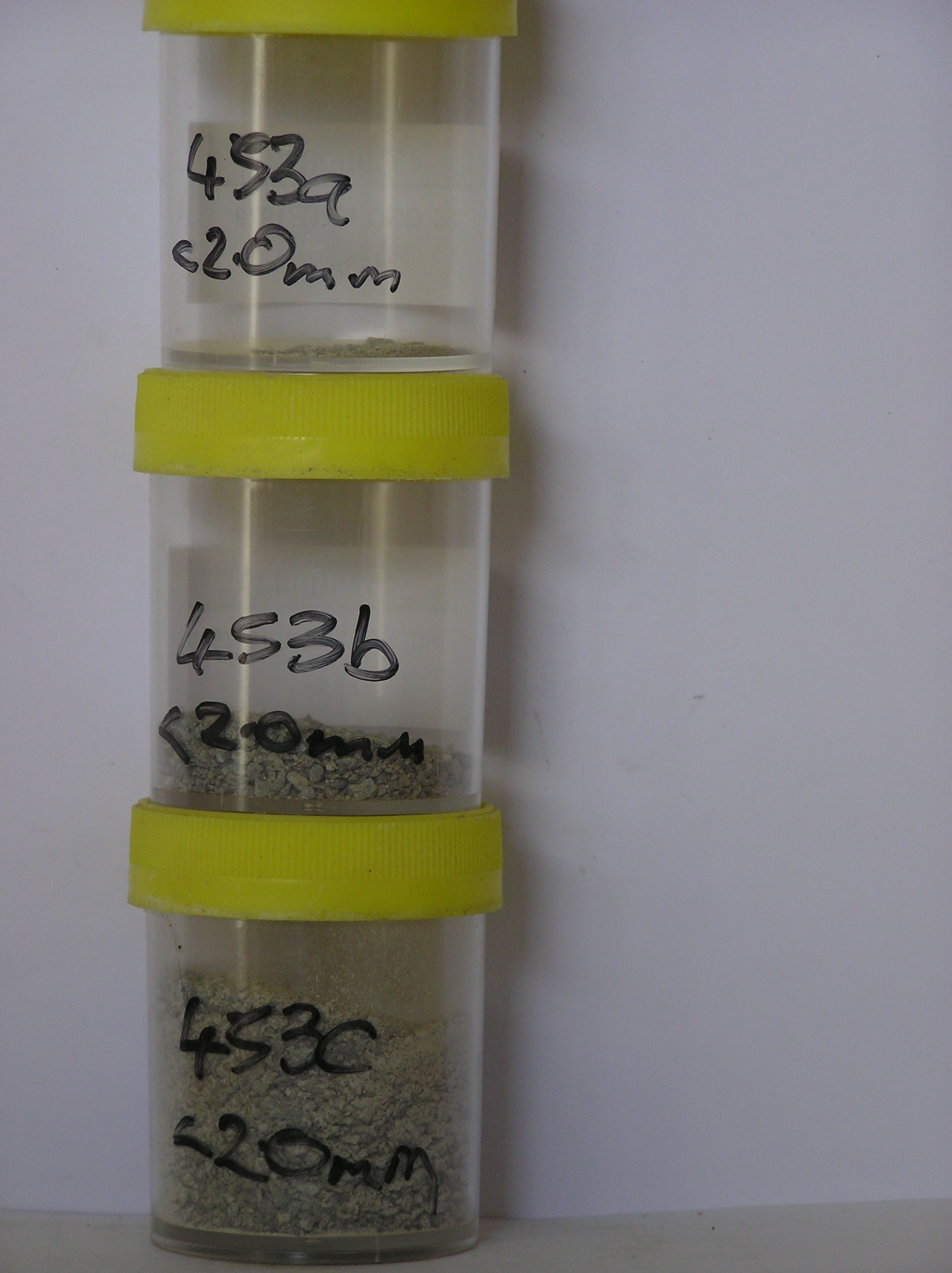
453a 4-0cm
101
surface pebbles
102
angular and unstained,
453b 0-10cm
201
olive (5Y 5/3) granular pebble gravel
202
loose
203
frosted
204
rock particles angular and unstained but a few distinctly oxidised
205
sharp boundary,
453c 10-13cm
301
olive (5Y 5/3) granular pebble gravel
302
rock particles angular and unstained
303
sharp boundary, on stagnant glacial ice
Yes
a,b,c
Stagnant ice
10
1
(10cm)
Geoland
| The Ellsworth Mountains comprise a thick sequence of folded metasedimentary rocks comprising limestones, conglomerates and quartzites dating to |
| Precambrian; the West Antarctic Ice Sheet is believed to have fluctuated greatly in response to global sea level changes and evidence of these fluctuations should |
| be present in the tills and soil weathering record; at this site, the till is very young and ice cored |
| Soluble Salt |
| Concentration |
45300001
0.10
45300002
20.60
69.60
17.90
7.10
1.80
0.60
2.00
0.70
0.10
45300003
33.50
52.30
24.70
12.70
3.70
1.90
3.70
0.70
0.10
45300001
45300002
6.70
0.06
0.09
0.12
0.03
0.02
0.05
0.25
0.01
45300003
6.50
0.36
0.09
0.09
0.02
0.02
0.05
0.19
0.06
45300001
45300002
80
2
5
2
2
tr crist
45300003
85
5
5
9
5
12-Dec-2005
Page 410 of 896
453