Ross Sea Region Soil Sites
454000
454
12-Dec-1979
IBC, GGC
West Antarctica in Ellsworth Land at the southern end of the Ellsworth Mountains
Soil weathering examination
US Geological Survey, 1:250 000, 1967, Union Glacier
No
-81.9667
-79.9000
79deg 54.0'S
81deg 58.0'E
| The Enterprise Hills region of the Ellsworth Mountains; north of Parrish Peak on a small valley bottom surface south of Seal Glacier; a surface which is topographically above |
| and older than the lowest and youngest valley surface |
5
N
900
cf. Notes for GEOLAND below
| Scattered snow patches behind some boulders; surface horizons slightly moist from thaw of |
| thin recent drift snow |
-20
Inland/Coastal Mountain
Young till from quartzitic metasedimentary rocks, some greenish and blackish
Nil observed
Very weakly developed patterned ground
| SURFACE WEATHERING or |
| SURFACE FEATURES |
| A moderately developed stone pavement; some slight staining on upper surfaces of boulders but nil beneath; some carbonate encrustations on a few surface |
| clasts; some minor exfoliation and spalling |
Nil
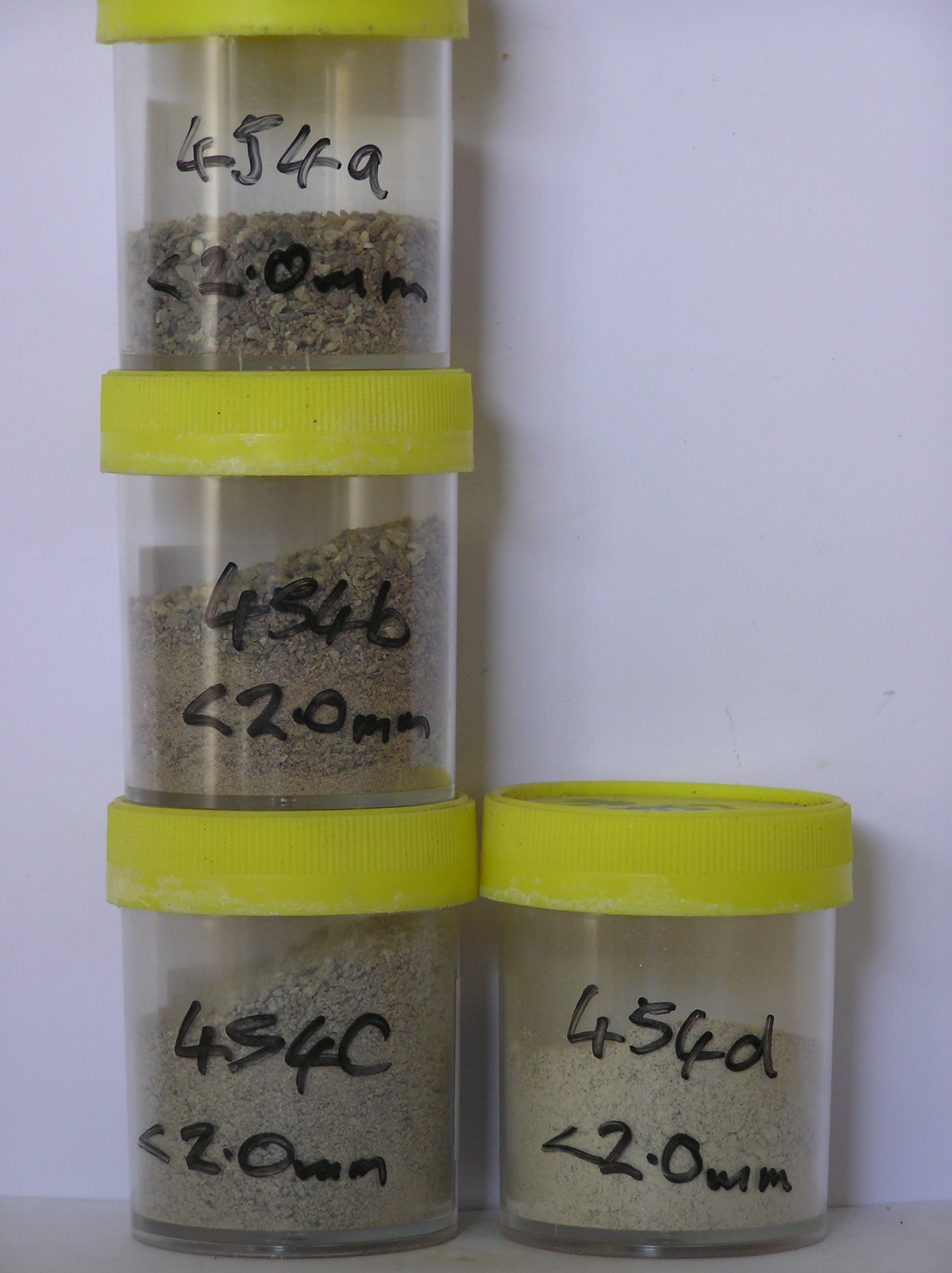
454a 3-0cm
101
surface granules pebbles and cobbles
102
distinct surface staining and moderate alteration of some small particles
103
carbonate encrustations on some particles,
454b 0-10cm
201
pale brown to brown (10YR 6/3 - 5/3) sandy gravel
202
weakly cohesive and slightly frosted
203
a few fine diffuse salts
204
rock particles mainly subangular and weakly stained but some moderately altered
205
distinct boundary,
454c 10-22cm
301
pale brown (10YR 6/3) sandy gravel
302
firmly frosted
303
a few carbonate encrustations on some particles
304
rock particles subrounded to subangular and weakly stained
305
sharp boundary,
454d 22-30cm
401
light grey (2.5Y 7/2) sandy gravel
402
very hard, ice-cemented
403
rock particles subangular and dominantly unstained
Yes
a,b,c,d
Ice-cemented
22
3
(22cm)
Geoland
| The Ellsworth Mountains comprise a thick sequence of folded metasedimentary rocks comprising limestones, conglomerates and quartzites dating to |
| Precambrian; the West Antarctic Ice Sheet is believed to have fluctuated greatly in response to global sea level changes and evidence of these fluctuations should |
| be present in the tills and soil weathering record; at this site, the till represents deposits of the Union Glacier at a former level |
| Soluble Salt |
| Concentration |
45400001
8.90
45400002
49.00
47.60
26.20
15.20
4.10
1.50
3.90
1.10
0.20
45400003
46.60
55.30
24.60
10.30
2.80
1.00
3.60
2.10
0.30
45400004
36.40
44.80
18.40
11.70
5.00
4.60
1.30
2.10
0.20
45400005
45400001
45400002
6.50
0.02
0.09
0.18
0.04
0.02
0.05
0.28
0.00
45400003
6.90
0.24
0.02
0.09
0.02
0.02
0.03
0.23
0.00
45400004
8.30
0.12
0.10
0.48
0.09
0.04
0.02
0.52
0.01
45400005
gypsum
45400001
45400002
87
5
5
3
45400003
90
2
5
3
45400004
90
5
5
45400005
90
12-Dec-2005
Page 411 of 896
454