Ross Sea Region Soil Sites
456000
456
12-Dec-1979
IBC, GGC
West Antarctica in Ellsworth Land at the southern end of the Ellsworth Mountains
Soil weathering examination
US Geological Survey, 1:250 000, 1967, Union Glacier
CS Pro
No
-81.9333
-79.9083
79deg 54.5'S
81deg 56.0'E
The Enterprise Hills region of the Ellsworth Mountains; north of Parrish Peak near the head of a small valley to the south of Seal Glacier; on a small knoll
4
NE
1,025
cf. Notes for GEOLAND below
| Scattered snow patches; this site has snow drifting across the surface which is thawing on |
| warmed surface rocks; the site is probably more moist than 455 and this may be reflected in |
| the chemistry |
-20
Inland/Coastal Mountain
Till from quartzitic metasedimentary rocks, some greenish, blackish and brown
Nil observed
Nil
| SURFACE WEATHERING or |
| SURFACE FEATURES |
cf. Notes for SURFWEA below
Nil
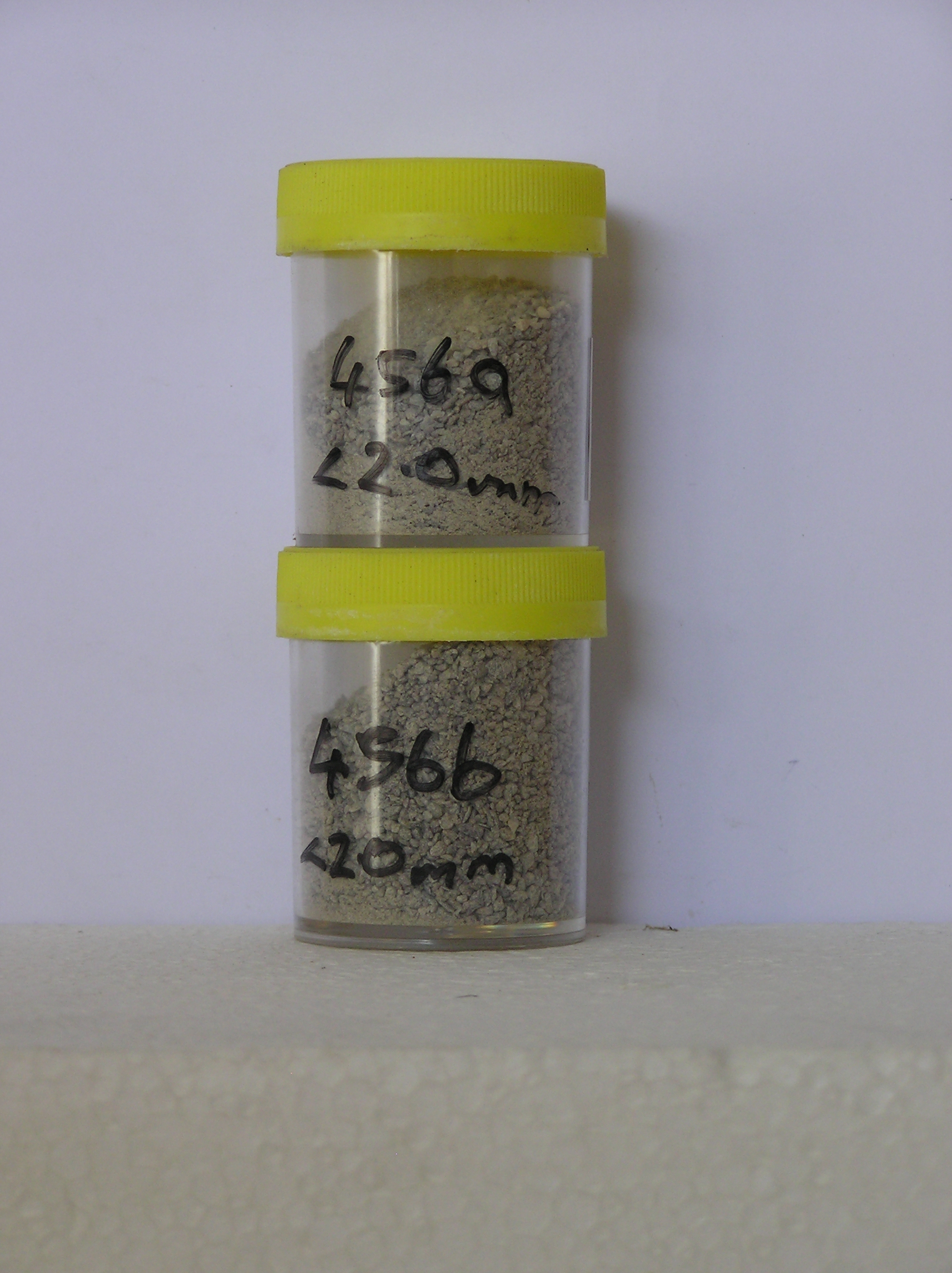
456a 0-5cm
101
light grey (2.5Y 7/2) granular pebble gravel
102
loose
103
rock particles angular partly stained and some partly altered
104
distinct boundary,
456b 5-10cm
201
light olive brown (2.5Y 5/4) moist granular pebbly gravel
202
rock particles angular and partly stained
Yes
a,b
0
3
Geoland
| The Ellsworth Mountains comprise a thick sequence of folded metasedimentary rocks comprising limestones, conglomerates and quartzites dating to |
| Precambrian; the West Antarctic Ice Sheet is believed to have fluctuated greatly in response to global sea level changes and evidence of these fluctuations should |
| be present in the tills and soil weathering record; at this site, the till represents deposits of the Union Glacier at a former level |
Surfwea
| Some rounding of surface cobbles and boulders; a moderately developed pebble pavement; some surface disintegration and spalling and some wind scoops |
| around larger boulders; upper surfaces distinctly stained; salts beneath some clasts and also calcium carbonate deposits |
| Soluble Salt |
| Concentration |
45600001
22.00
72.40
12.40
7.00
2.90
1.40
2.40
1.30
0.20
45600002
25.00
81.70
8.40
4.60
1.70
0.70
1.70
0.10
0.20
45600001
8.10
0.09
0.05
0.19
0.01
0.08
0.02
0.24
0.00
45600002
7.70
0.10
0.05
0.29
0.02
0.09
0.02
0.47
0.00
45600001
75
5
5
10
5
45600002
80
5
5
5
5
12-Dec-2005
Page 413 of 896
456