Ross Sea Region Soil Sites
457000
457
12-Dec-1979
IBC, GGC
West Antarctica in Ellsworth Land at the southern end of the Ellsworth Mountains
Soil weathering examination
US Geological Survey, 1:250 000, 1967, Union Glacier
CS Pro
No
-81.9167
-79.9000
79deg 54.0'S
81deg 55.0'E
| The Enterprise Hills region of the Ellsworth Mountains; north of Parrish Peak near the head of a small valley to the south of Seal Glacier; on a subdued moraine ridge at a |
| lower elevation |
7
N
925
cf. Notes for GEOLAND below
Scattered snow patches; this site is dry with no indications of snow thawing
-20
Inland/Coastal Mountain
Till from quartzitic metasedimentary rocks, some greenish, blackish and brown
Nil observed
Weakly expressed patterned ground nets
| SURFACE WEATHERING or |
| SURFACE FEATURES |
| Some rounding of surface cobbles and boulders; a weakly developed pebble pavement; boulders more strongly stained on upper surfaces than lower; a few |
| scattered salts beneath some surface stones |
Nil
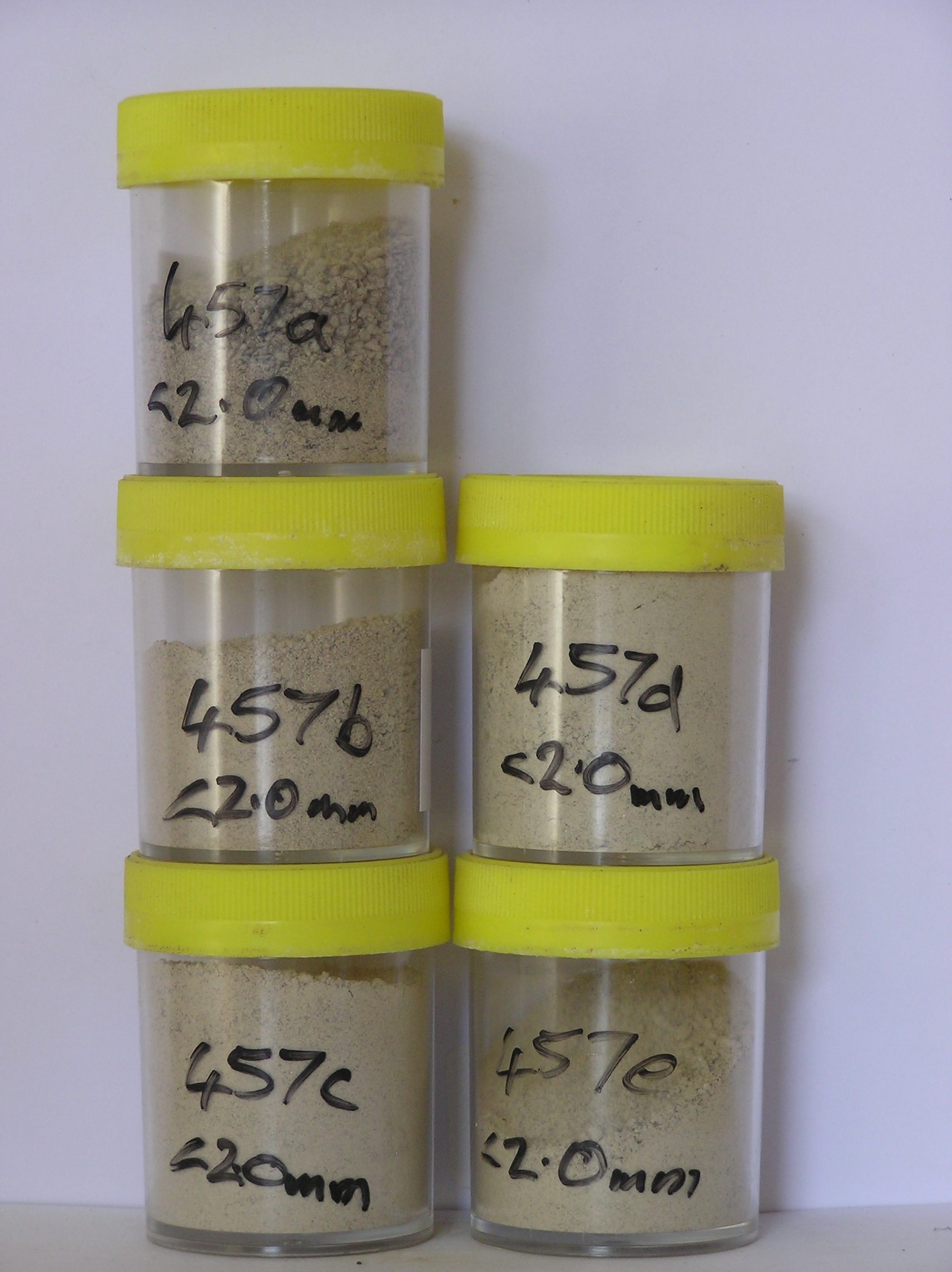
457a 3-0cm
101
surface granular sand pebbles and cobbles
102
rock particles subrounded to subangular and weakly stained but some partly altered,
457b 0-4cm
201
very pale brown (10YR 7/4) sandy pebble gravel
202
weakly cohesive
203
rock particles subangular and non to weakly stained
204
distinct boundary,
457c 4-14cm
301
very pale brown (10YR 7/3) sandy pebble gravel
302
loose to weakly cohesive
303
rock particles subangular and unstained
304
distinct boundary,
457d 14-25cm
401
very pale brown to light grey (10YR 7/3 - 7/2) sandy to silty gravel
402
firmly cohesive
403
few diffuse salt accumulations around some rock particles
404
rock particles subangular and unstained
405
indistinct boundary,
457e 25-40cm
501
light grey (10YR 7/2) sandy gravel
502
firmly cohesive
503
rock particles subangular and unstained
504
indistinct boundary, on compact till
Yes
a,b,c,d,e
Dry frozen
40
3
(>40cm)
Geoland
| The Ellsworth Mountains comprise a thick sequence of folded metasedimentary rocks comprising limestones, conglomerates and quartzites dating to |
| Precambrian; the West Antarctic Ice Sheet is believed to have fluctuated greatly in response to global sea level changes and evidence of these fluctuations should |
| be present in the tills and soil weathering record; at this site, the till represents deposits of the Union Glacier at a an intermediate level |
| Soluble Salt |
| Concentration |
45700001
19.90
60.90
20.40
9.20
2.60
1.50
3.50
1.50
0.30
45700002
40.50
39.20
25.10
15.10
4.70
3.10
8.40
3.90
0.40
45700003
65.70
41.80
20.50
13.80
5.40
4.50
12.70
0.90
0.30
45700004
52.20
40.00
20.40
13.10
5.60
5.50
13.70
1.30
0.30
45700005
43.40
35.50
21.00
13.30
5.70
5.80
16.30
1.90
0.40
45700006
45700001
7.80
0.37
0.18
3.48
0.08
0.03
0.02
2.43
45700002
8.30
0.55
0.62
4.14
0.26
0.09
0.02
2.99
45700003
8.20
1.10
1.37
7.53
0.41
0.10
0.02
8.71
0.02
45700004
8.20
1.10
1.77
5.89
0.55
0.11
0.02
9.21
0.03
45700005
8.20
0.97
1.87
4.89
0.53
0.13
0.02
3.89
0.03
45700006
45700001
85
2
3
5
5
45700002
90
3
2
3
45700003
80
5
4
7
4
45700004
95
2
3
45700005
90
2
3
45700006
12-Dec-2005
Page 414 of 896
457