Ross Sea Region Soil Sites
458000
458
13-Dec-1979
IBC, GGC
West Antarctica in Ellsworth Land at the southern end of the Ellsworth Mountains
Soil weathering examination
US Geological Survey, 1:250 000, 1967, Liberty Hills
CS Pro & Lscp
No
-82.0667
-80.2833
80deg 17.0'S
82deg 4.0'E
| Marble Hills in the Heritage Range of the Ellsworth Mountains; approximately 4km north of Mt Fordell; on the southwest upper side slope of a broad gently sloping ridge |
| which forms one side of a basin |
6
SW
1,100
cf. Notes for GEOLAND below
Some scattered snow patches, mainly in patterned ground cracks; no moist soils observed
-25
Inland/Coastal Mountain
Till of mixed lithology including sandstone, quartzite, and metamorphic; relatively fine textured and pulverulent with few boulders
Nil observed
Weakly expressed broad nets; 20cm troughs
| SURFACE WEATHERING or |
| SURFACE FEATURES |
Light coloured surface rocks with only slight staining; small salt accumulations beneath some stones
Nil
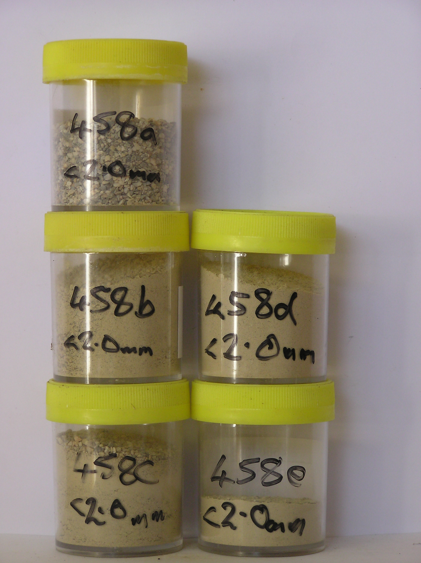
458a 2-0cm
101
surface pebbles and granular sand
102
smaller rock particles mainly angular and non to weakly stained
458b 0-2cm
201
pale yellow (2.5Y 7/4) sandy to silty pebble gravel
202
moderately cohesive
203
weakly developed vesicular structure
204
rock particles subangular and dominantly non stained
205
indistinct boundary,
458c 2-10cm
301
pale yellow (2.5Y 7/4) sandy to silty gravel
302
weakly cohesive
303
rock particles subangular and unstained
304
indistinct boundary,
458d 10-30cm
401
pale yellow (2.5Y 7/4) sandy gravel
402
loose
403
rock particles subangular and unstained
404
sharp boundary,
458e 30-35cm
501
pale yellow to light grey (2.5Y 7/4 - 7/2) sandy gravel
502
very hard
503
ice-cemented
Yes
a,b,c,d,e
Ice-cemented
30
3
(30cm)
Geoland
| The Marble Hills area comprise limestone/marble bedrocks with an intermittent cover of till with predominantly sandstone, quartzite, metasedimentary and some |
| ferromagnesian rich rocks; till sequences are not clearly expressed and the till which is from a non local source, may have been reworked by local ice masses |
| Soluble Salt |
| Concentration |
45800001
14.40
45800002
55.00
63.80
15.90
7.00
3.00
5.10
4.30
0.60
0.30
45800003
63.00
42.40
18.50
12.20
6.90
11.90
7.30
0.50
0.30
45800004
60.90
34.00
16.00
13.50
8.70
16.80
9.80
0.70
0.40
45800005
54.80
32.70
15.50
11.70
8.20
17.60
13.40
0.50
0.40
45800001
45800002
8.20
0.06
0.10
0.40
0.02
0.05
0.02
0.32
0.01
45800003
8.30
0.07
0.19
0.57
0.05
0.07
0.02
0.53
0.04
45800004
7.50
0.54
0.30
1.68
0.36
0.04
0.02
1.14
0.03
45800005
7.70
0.32
0.14
1.12
0.15
0.14
0.02
3.15
0.01
45800001
45800002
40
20
10
10
15
5
45800003
40
20
10
10
20
45800004
40
20
10
5
20
5
45800005
55
5
5
10
20
3
2
12-Dec-2005
Page 415 of 896
458