Ross Sea Region Soil Sites
461000
461
13-Dec-1979
IBC, GGC
West Antarctica in Ellsworth Land at the southern end of the Ellsworth Mountains
Soil weathering examination
US Geological Survey, 1:250 000, 1967, Liberty Hills
CS Pro & Lscp
No
-82.0500
-80.2833
80deg 17.0'S
82deg 3.0'E
cf. Notes for DESCR below
0
Nil
1,300
cf. Notes for GEOLAND below
Local snow pockets but no obvious thawing or soil moistening
-25
Inland/Coastal Mountain
Sandy to silty till of mixed lithology; marble; metasedimentary and felsitic rocks
Nil observed
Nil
| SURFACE WEATHERING or |
| SURFACE FEATURES |
| Some crumbling and disaggregation of boulders; some darker coloured rocks are strongly disaggregated; a moderately developed pavement with reduction |
| of larger clasts; distinct salt encrustations beneath many surface rocks; well developed surface staining |
Nil
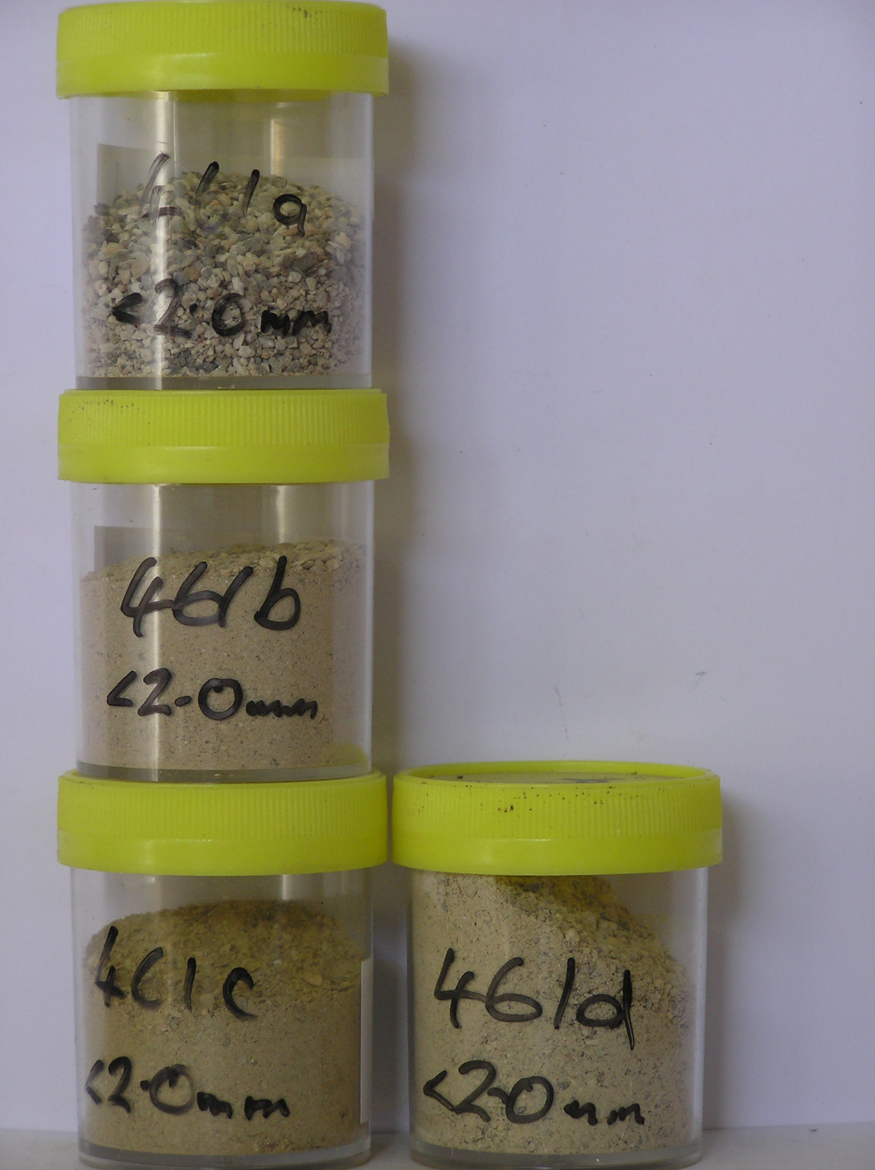
461a 2-0cm
101
surface pebbles, cobbles and granular sand
102
| rock particles subrounded to subangular with larger clasts strongly stained and some smaller particles partly |
| altered, |
461b 0-10cm
201
very pale brown (10YR 7/3) sandy to silty pebble gravel
202
weakly to moderately cohesive
203
pulverulent
204
diffuse salts and some salt aggregations
205
some oxidation patches
206
rock particles angular to subangular and weakly stained but some partly altered
207
indistinct boundary,
461c 10-22cm
301
pale yellow (2.5Y 7/4) cobbly sand to silty gravel
302
weakly to moderately cohesive
303
pulverulent
304
scattered salt flecks
305
some ghosts
306
rock particles subangular and mostly unstained but some partly altered
307
indistinct boundary,
461d 22-35cm
401
very pale brown (10YR 7/3) sandy to silty gravel
402
weakly cohesive
403
rock particles angular to subrounded and dominantly unstained
Yes
a,b,c,d
35
3/4
(>35cm)
Descr
| Marble Hills in the Heritage Range of the Ellsworth Mountains; approximately 4km north of Mt Fordell; on a high bench adjacent to the Horseshoe Valley ice |
| sheet with patchy till cover on undulating marble hills landscape, a flat site on a gentle ridge step, partly surrounded by marble outcrop |
Geoland
| The Marble Hills area comprise limestone/marble bedrocks with an intermittent cover of till with predominantly sandstone, quartzite, metasedimentary and some |
| ferromagnesian rich rocks; till sequences are not clearly expressed and the till which is from a non local source, may have been reworked by local ice masses; the |
| higher surfaces may have somewhat older till deposits |
| Soluble Salt |
| Concentration |
46100001
9.30
46100002
66.00
41.60
18.10
9.90
6.20
7.10
15.90
0.80
0.40
46100003
60.50
21.00
11.30
8.90
8.70
10.10
32.30
1.10
0.50
46100004
63.80
43.50
18.80
10.30
5.40
9.60
10.90
0.80
0.50
46100001
46100002
7.80
1.84
0.82
11.21
0.40
0.16
0.03
11.38
46100003
7.90
1.73
0.28
8.76
0.60
0.29
0.02
8.63
46100004
8.10
1.26
0.84
6.08
0.38
0.21
0.03
6.71
46100001
46100002
60
5
5
5
20
5
46100003
45
2
1
10
10
5
30
2
3
46100004
60
5
10
5
15
3
2
12-Dec-2005
Page 418 of 896
461