Ross Sea Region Soil Sites
462000
462
14-Dec-1979
IBC, GGC
West Antarctica in Ellsworth Land at the southern end of the Ellsworth Mountains
Soil weathering examination
US Geological Survey, 1:250 000, 1967, Union Glacier
CS Lscp
No
-81.0000
-79.8000
79deg 48.0'S
81deg 0.0'E
Meyer Hills in the southeast of the Heritage Range, Beaudoin Peak, about 5m below the top on a steep slope
30
E
975
cf. Notes for GEOLAND below
No adjacent snow patches, site is dry with little sign of soil moistening
-25
Inland/Coastal Mountain
Fragmented quartzitic bedrock
Nil observed
Nil
| SURFACE WEATHERING or |
| SURFACE FEATURES |
Bedrock exposures are strongly fractured and surface fragmental detritus is angular but strongly oxidised
Nil
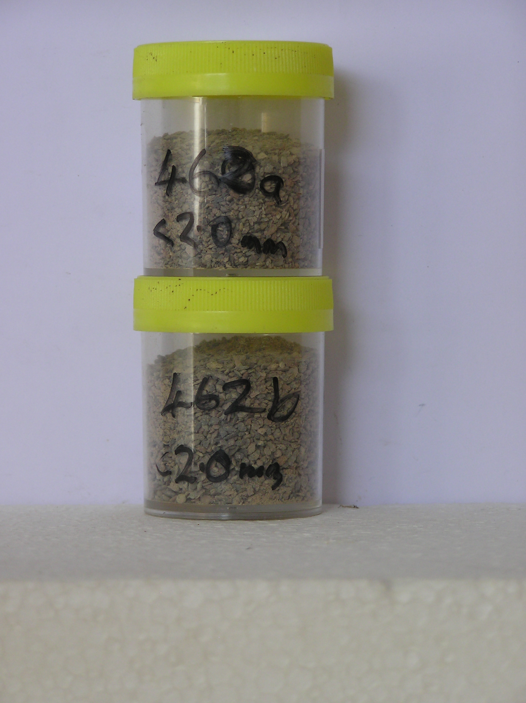
462 5-0cm
101
surface pebbles cobbles and small boulders
102
angular and strongly stained,
462a 0-5cm
201
brown (10YR 5/3) granular gravel
202
moderately cohesive
203
salt precipitations on rock fragments
204
rock particles subangular and many distinctly stained with some partly altered
205
indistinct boundary,
462b 5-10cm
301
brown (7.5YR 5/4) granular gravel
302
loose
303
rock particles angular and moderately stained
Yes
a,b
0
Geoland
| The Ellsworth Mountains comprise a thick sequence of folded metasedimentary rocks comprising limestones, conglomerates and quartzites dating to |
| Precambrian; the West Antarctic Ice Sheet is believed to have fluctuated greatly in response to global sea level changes and evidence of these fluctuations should |
| be present in the tills and soil weathering record; the Meyer Hills are predominantly quartzitic sandstones |
| Soluble Salt |
| Concentration |
46200001
40.50
73.10
10.30
6.70
3.10
2.40
2.30
1.60
0.40
46200002
42.80
53.00
17.20
12.60
6.40
4.30
3.50
2.40
0.50
46200001
7.20
0.60
0.14
5.29
0.13
0.05
0.02
9.17
0.00
46200002
7.50
0.85
0.52
7.53
0.19
0.06
0.02
10.14
0.02
46200001
65
2
4
2
4
15
3
4
46200002
70
4
5
5
10
5
5
12-Dec-2005
Page 419 of 896
462