Ross Sea Region Soil Sites
463000
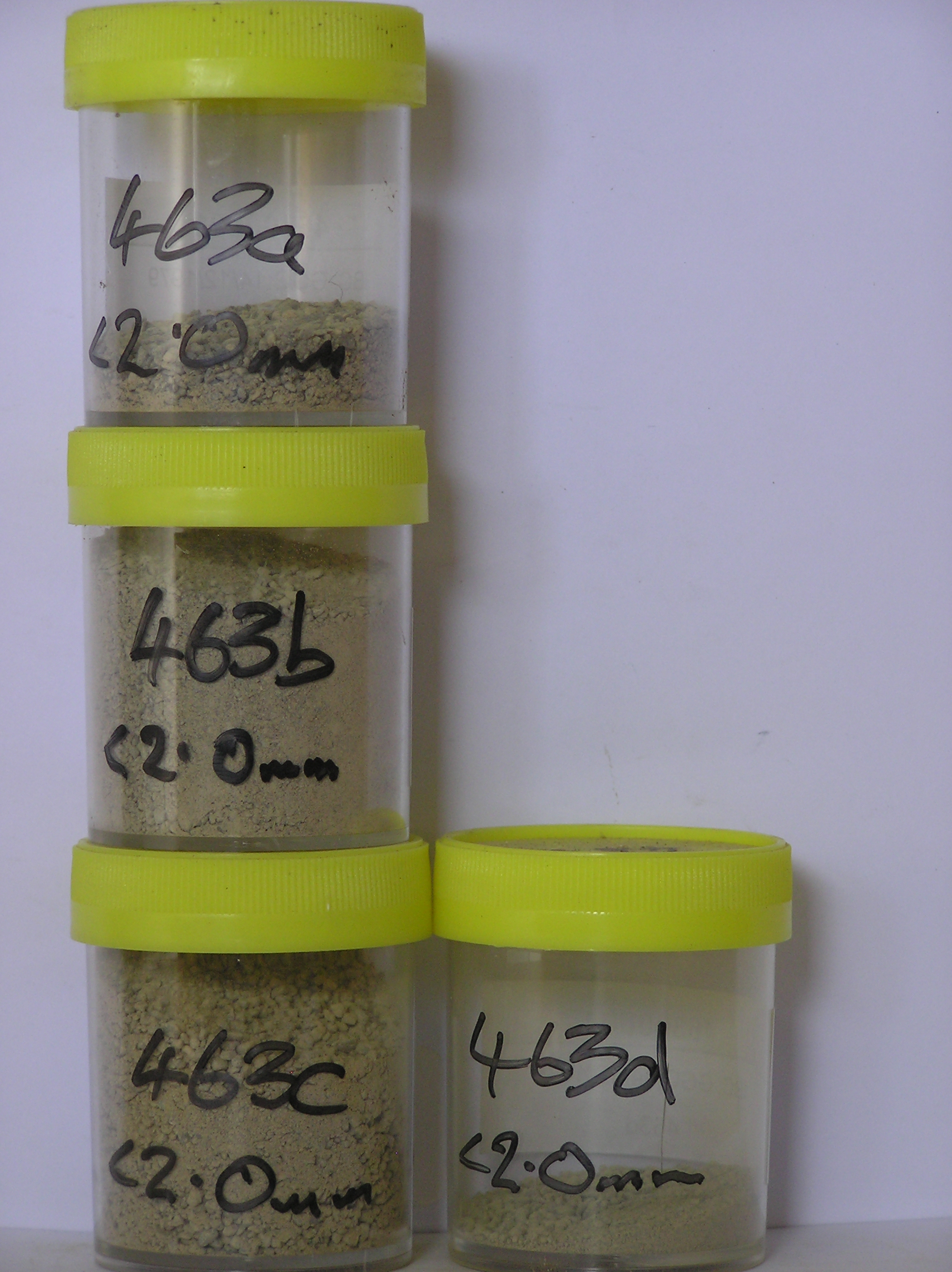
463
14-Dec-1979
IBC, GGC
West Antarctica in Ellsworth Land at the southern end of the Ellsworth Mountains
Soil weathering examination
US Geological Survey, 1:250 000, 1967, Union Glacier
CS Pro & Lscp
No
-81.0333
-79.8000
79deg 48.0'S
81deg 2.0'E
| Meyer Hills in the southeast of the Heritage Range, approximately 2km north of Beaudoin Peak in a cirque-like valley bottom, a low moraine surface on the crest of a flattish |
| knoll |
0
Nil
600
cf. Notes for GEOLAND below
Scattered snow patches but no moisture seen at the site; thaw ponds are present in the area
-20
Inland/Coastal Mountain
Young till from greywacke sandstone/argillite with some schistose rocks
Nil observed
Moderately developed broad nets with 25cm troughs, mostly snow filled
| SURFACE WEATHERING or |
| SURFACE FEATURES |
| Some rock spalling and some splintering of argillites but negligible surface deflation, ventifaction or cavernous weathering; some salts and calcium |
| carbonate coatings beneath some surface stones; some slight surface staining in places |
Nil
463a 4-0cm
101
surface cobbles pebbles and granular sand
102
a few salt flecks beneath some stones
103
rock particles dominantly angular and unstained but some strong staining on some clasts is probably relict,
463b 0-10cm
201
light grey to pale yellow (2.5Y 7/2 - 7/4) sandy gravel
202
moderately cohesive
203
moderately developed vesicular structure
204
rock particles angular to subangular and unstained
205
distinct boundary,
463c 10-30cm
301
light grey to pale yellow (2.5Y 7/2 - 7/4) sandy pebble gravel
302
loose to weakly cohesive
303
rock particles angular to subangular and unstained
304
sharp boundary,
463d 30-35cm
401
light brownish grey (2.5Y 6/2) slightly sandy gravel
402
very firm
403
hard frozen
404
rock particles angular to subangular and unstained
Yes
a,b,c,d
Ice-cemented
30
2
(30cm)
Geoland
| The Ellsworth Mountains comprise a thick sequence of folded metasedimentary rocks comprising limestones, conglomerates and quartzites dating to |
| Precambrian; the West Antarctic Ice Sheet is believed to have fluctuated greatly in response to global sea level changes and evidence of these fluctuations should |
| be present in the tills and soil weathering record; the Meyer Hills are predominantly quartzitic sandstones; the tills are local valley glaciation deposits |
| Soluble Salt |
| Concentration |
46300001
6.00
46300002
31.80
35.50
15.80
21.50
9.50
7.00
6.70
3.20
0.70
46300003
27.80
45.40
12.70
13.80
7.00
6.80
8.70
4.50
0.80
46300004
29.80
19.00
17.20
25.20
13.50
10.10
7.70
6.30
0.80
46300001
46300002
8.00
0.10
0.32
0.17
0.05
0.03
0.02
0.45
0.00
46300003
8.00
0.10
0.19
0.08
0.24
0.15
0.02
1.02
0.16
46300004
8.20
0.04
0.06
0.13
0.03
0.06
0.02
0.39
0.00
46300001
46300002
60
5
4
3
15
3
46300003
70
1
1
3
4
15
6
46300004
65
2
1
8
2
20
2
12-Dec-2005
Page 420 of 896
463