Ross Sea Region Soil Sites
464000
464
14-Dec-1979
IBC, GGC
West Antarctica in Ellsworth Land at the southern end of the Ellsworth Mountains
Soil weathering examination
US Geological Survey, 1:250 000, 1967, Union Glacier
CS Lscp
No
-80.9750
-79.8000
79deg 48.0'S
80deg 58.5'E
Meyer Hills in the southeast of the Heritage Range, approximately 1.5km northeast of Beaudoin Peak on a narrow rocky ridge; a cleft in the ridge
0
Nil
775
cf. Notes for GEOLAND below
No moisture seen at the site
-25
Inland/Coastal Mountain
Fragmented greywacke/argillite; fines possibly windblown
Nil observed
Nil
| SURFACE WEATHERING or |
| SURFACE FEATURES |
Rock outcrops fragmented with patchy surface staining
Nil
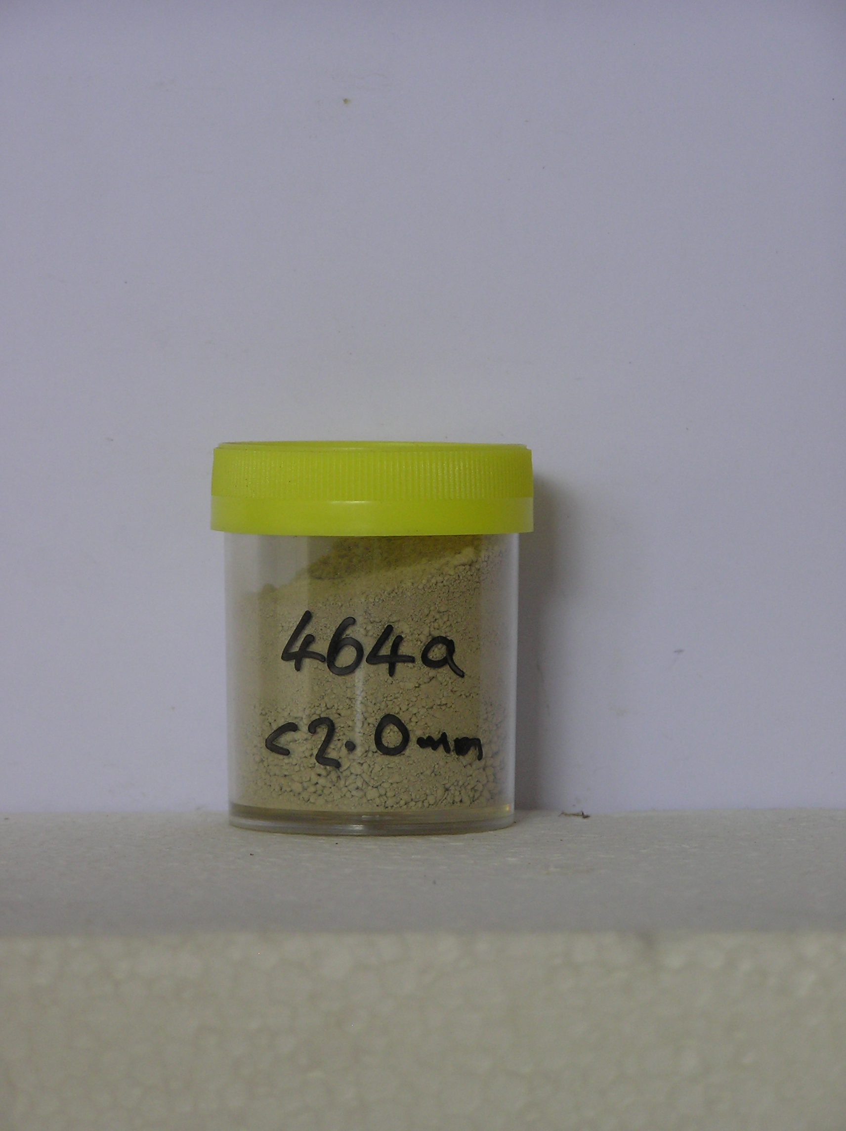
464a 0-15cm
101
pale yellow (2.5Y 7/4) slightly silty granular gravel
102
loose
103
rock particles angular to subangular and dominantly unstained
Yes
a
15
2
(>15cm)
Geoland
| The Ellsworth Mountains comprise a thick sequence of folded metasedimentary rocks comprising limestones, conglomerates and quartzites dating to |
| Precambrian; the West Antarctic Ice Sheet is believed to have fluctuated greatly in response to global sea level changes and evidence of these fluctuations should |
| be present in the tills and soil weathering record; the Meyer Hills are predominantly quartzitic sandstones |
| Soluble Salt |
| Concentration |
46400001
63.80
40.00
13.50
14.00
6.40
4.50
9.80
10.20
0.90
46400001
7.60
0.03
0.06
0.08
0.02
0.04
0.02
0.25
0.00
46400001
70
2
3
5
5
15
12-Dec-2005
Page 421 of 896
464