Ross Sea Region Soil Sites
469000
469
16-Dec-1979
IBC, GGC
West Antarctica in Ellsworth Land at the southern end of the Ellsworth Mountains
Soil weathering examination
US Geological Survey, 1:250 000, 1967, Union Glacier
CS Lscp & Pro
No
-83.9500
-79.7333
79deg 44.0'S
83deg 57.0'E
| At the northern end of the Edson Hills on the southwest side of the Schanz Glacier and just north of Drake Icefall; a broad stepped ridge; below the ridge crest on an undulating |
| step surface |
6
N
1,200
cf. Notes for GEOLAND below
Some local extensive snow drift patches but the dry site with no soil moistening
-25
Inland/Coastal Mountain
Till with a mixed lithology including quartzite, conglomerate, sandstone, marble and some dolerite
Nil observed
Weakly developed broad nets with troughs <20cm deep but non active
| SURFACE WEATHERING or |
| SURFACE FEATURES |
cf. Notes for SURFWEA below
Nil
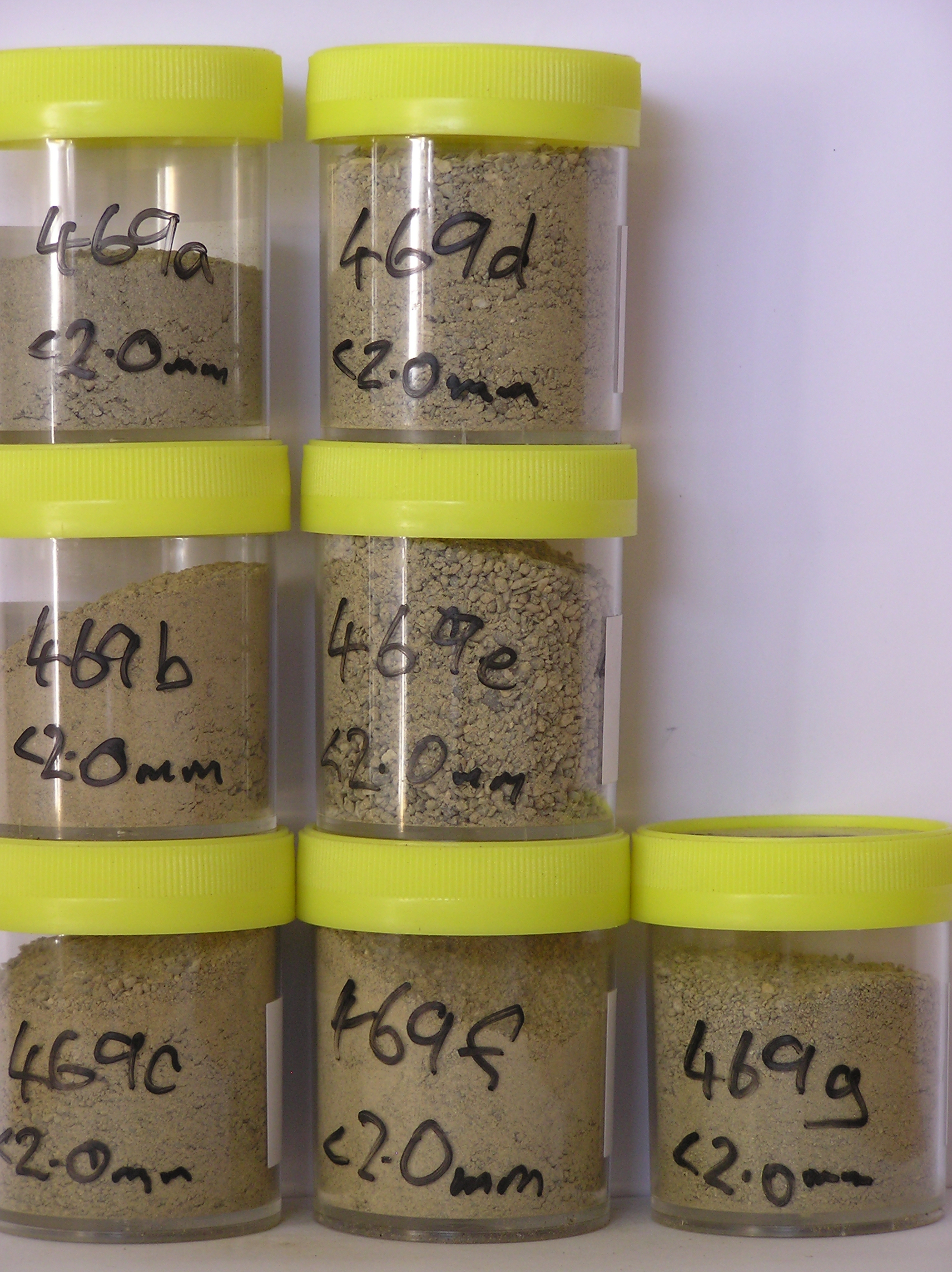
469a 3-0cm
101
surface sandy granular to cobbly gravel
102
rock particles manly angular to subangular and weakly stained
103
a few salts beneath some clasts,
469b 0-5cm
201
light yellowish brown (10YR 6/4) cobbly sandy gravel
202
weakly cohesive
203
weakly developed vesicular structure
204
rock particles angular and unstained
205
distinct boundary,
469c 5-20cm
301
light yellowish brown (10YR 6/4) cobbly sandy gravel
302
loose
303
a few salt encrustations around some clasts
304
some soft rocks partly crumbled
305
rock particles angular and dominantly unstained
306
indistinct boundary,
469d 20-35cm
401
pale olive (5Y 6/3) sandy gravel with some boulders
402
weakly cohesive
403
rock particles angular and unstained
404
indistinct boundary,
469e 35-45cm
501
pale olive (5Y 6/3) sandy gravel
502
moderately cohesive
503
a few small salt flecks
504
some soft rocks partly disaggregated
505
rock particles angular to subangular and unstained
506
distant boundary,
469f 45-52cm
601
pale olive to light yellowish brown (5Y 6/3 - 2.5Y 6/4) sandy gravel
602
moderately cohesive
603
rock particles subangular and unstained
604
sharp boundary,
469g 52-55cm
701
pale olive ( 5Y 6/3) sandy gravel
702
very hard
703
ice cemented
Yes
a,b,c,d,e,f,g
Ice-cemented
52
2/3
(52cm)
Geoland
| The Ellsworth Mountains comprise a thick sequence of folded metasedimentary rocks comprising limestones, conglomerates and quartzites dating to |
| Precambrian; the West Antarctic Ice Sheet is believed to have fluctuated greatly in response to global sea level changes and evidence of these fluctuations should |
| be present in the tills and soil weathering record; the Edson Hills are predominantly metasedimentary rocks including marble |
Surfwea
| Surface staining is variable according to rock type but generally weak to moderate; some rounding of larger clasts but most angular to subangular; upstanding |
| boulders up to 2m; slight exfoliation of some sandstones; a weakly developed pavement; a few small salt patches beneath some stones |
| Soluble Salt |
| Concentration |
46900001
7.50
46900002
44.90
50.00
14.70
10.60
6.60
5.70
8.90
2.40
0.70
46900003
38.70
45.30
21.50
12.70
5.40
4.00
8.60
1.90
0.50
46900004
49.40
51.60
20.10
10.90
4.40
2.90
7.80
1.80
0.60
46900005
48.90
60.70
14.40
8.50
3.80
3.00
7.40
1.40
0.70
46900006
54.90
45.10
18.10
12.00
6.10
4.80
11.40
1.80
0.70
46900007
43.20
51.50
16.00
10.30
5.00
3.90
10.80
1.60
0.90
46900008
46900001
46900002
7.60
1.60
1.42
4.16
1.46
0.10
0.25
5.06
0.02
46900003
7.60
1.30
1.39
2.09
1.17
0.13
0.07
2.25
0.05
46900004
7.60
1.48
1.14
3.52
1.01
0.11
0.03
3.98
0.04
46900005
7.20
1.23
0.92
3.99
0.76
0.10
0.10
4.62
0.03
46900006
7.00
1.26
0.79
4.79
0.68
0.09
0.03
5.73
0.02
46900007
7.40
0.81
0.67
2.47
0.51
0.08
0.05
2.93
0.02
46900008
thenardite, gypsum
46900001
46900002
46900003
50
15
5
5
20
5
46900004
65
15
5
5
10
5
46900005
70
2
10
5
5
10
3
46900006
60
3
10
5
5
15
2
46900007
50
15
5
5
20
5
46900008
12-Dec-2005
Page 426 of 896
469