Ross Sea Region Soil Sites
498000
498
13-Jan-1983
IBC, GGC
Convoy Range, Trans-antarctic Mountains, in the valley of the Northwind Glacier
Soil characterisation
CS Pro & B&W Lscp
No
159.8800
-76.7117
76deg 42.7'S
-159deg -52.8'E
| 4.5km W of the western end of the Northwind Glacier on a broad sloping uneven ridge surface formed by an outcrop of dolerite; in a slight hollow on a small step on the ridge |
| between two dolerite knolls |
0
Nil
1,375
| Dolerite sills are extensive and outcrop, particularly on steeper and higher elevation surfaces; till is absent and weathered regolith is very patchy, occurring mainly in hollows |
| or between upstanding bedrock outcrops |
Xerous; occasional pockets of snow but no thawing
-27
Central mountain
Partly weathered, disaggregating coarse grained dolerite bedrock
Occasional patches of yellow lichen in exfoliation cracks
Nil
| SURFACE WEATHERING or |
| SURFACE FEATURES |
cf. Notes for SURFWEA below
Nil
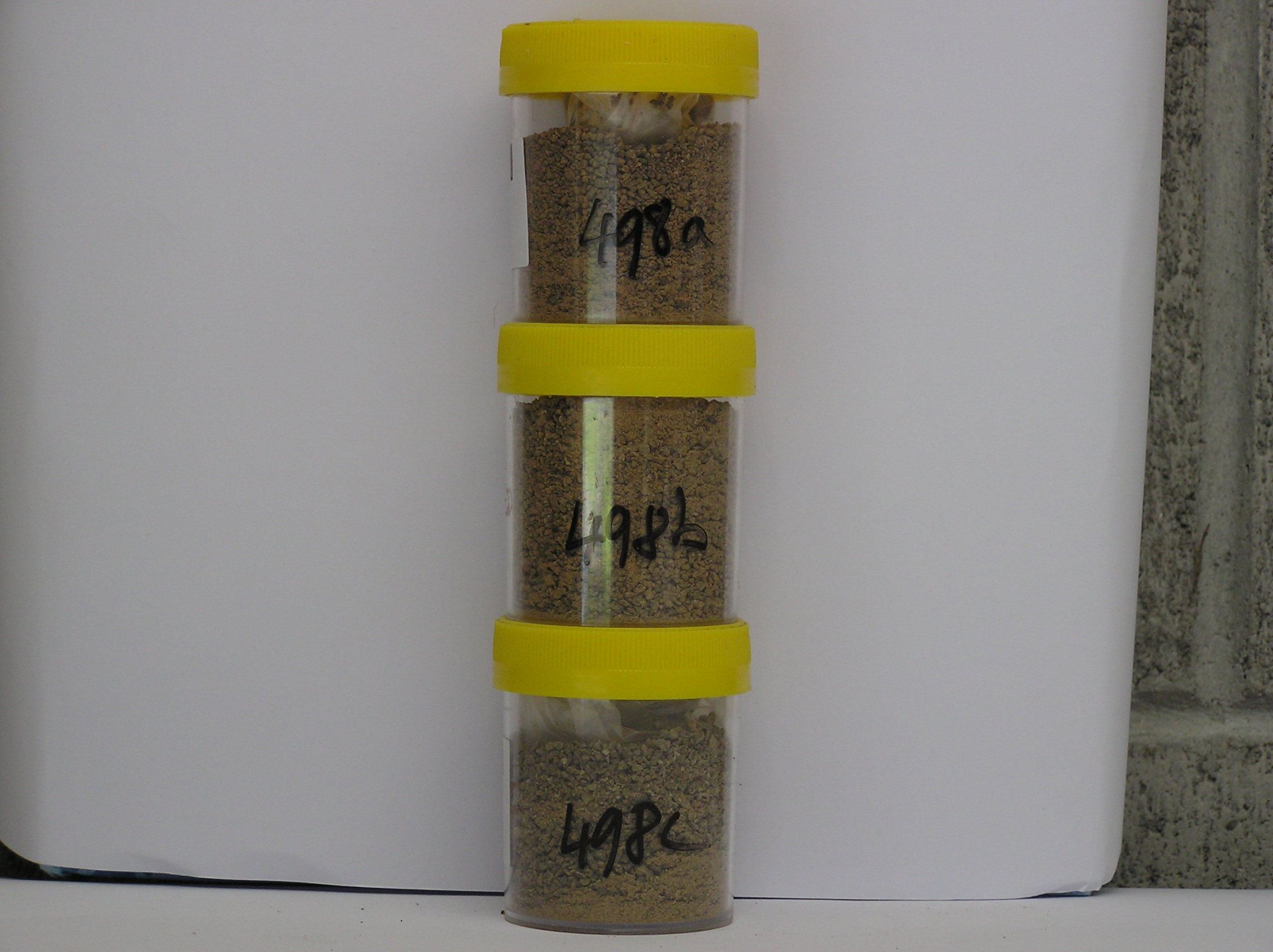
498a 0-3cm
101
brown (7.5YR 5/4) sandy, pebbly granular gravel
102
weakly cohesive
103
abundant crystalline salt flecks
104
| rock particles subangular moderately stained and moderately altered with salt crystals common amongst |
| disaggregating particles |
105
distinct boundary
498b 3-10cm
201
brown (7.5YR 5/4) granule gravel
202
moderately cohesive
203
salt crystals amongst disaggregating rock particles
204
rock particles subangular, weakly to moderately stained and weakly altered
205
diffuse boundary,
498c 10-18cm
301
light yellowish brown (10YR 6/4) pebbly granule gravel
302
moderately cohesive
303
salt crystals amongst disaggregating rock particles
304
rock particles angular, weakly stained and weakly altered, on unweathered dolerite bedrock
Yes
a,b,c,d,e
18
3
(>18cm)
Surfwea
| Bedrock dolerite outcrops have a weak tor-like form protruding up to 1m above the overall ground surface; in situ and disaggregated clasts are mainly rounded |
| through exfoliation of weathering skins and wind abrasion; coarser grained dolerite shows some weakly developed cavernous weathering; surface oxidation and |
| staining are well developed; the weathering depth is uneven and is partly spheroidal, extending down cracks between boulders exposed at the surface |
| Soluble Salt |
| Concentration |
49800001
49800002
48.00
43.00
21.00
13.00
14.00
3.00
3.00
1.00
0.14
49800003
19.00
55.00
20.00
12.00
5.00
3.00
4.00
1.00
0.09
49800001
49800002
8.30
1.41
3.60
5.60
2.00
0.03
0.01
8.20
0.50
49800003
8.10
1.47
2.60
5.90
1.20
0.02
0.01
9.60
0.50
49800001
49800002
45
10
15
20
10
49800003
30
20
30
10
10
12-Dec-2005
Page 456 of 896
498