Ross Sea Region Soil Sites
503000
503
14-Jan-1983
IBC, GGC
Convoy Range, Trans- antarctic Mountains, in the valley of the Northwind Glacier
Soil characterisation
B&W & CS Pro & Lscp
No
159.9200
-76.7067
76deg 42.4'S
-159deg -55.2'E
Approximately 2km W of the SW end of the Northwind Glacier; an even, bouldery sloping moraine surface formed below a broad cirque basin
15
S
700
cf. Notes for GEOLAND below
Xerous; no snow patches, snow banks or seepage
-24
Central mountain
Predominantly doleritic till with some granite and minor sandstone
Algae are absent in this highly saline pond but are present in an adjacent less saline lake
Well developed nets with shallow but distinct borders and much sand in the troughs
| SURFACE WEATHERING or |
| SURFACE FEATURES |
| Boulders are dominantly subangular and mostly between 40-100cm; there is some slight rounding moderate surface staining, and exfoliation of weathering |
| rinds but most clasts are weakly stained and abraded; the pavement is poorly developed |
Nil
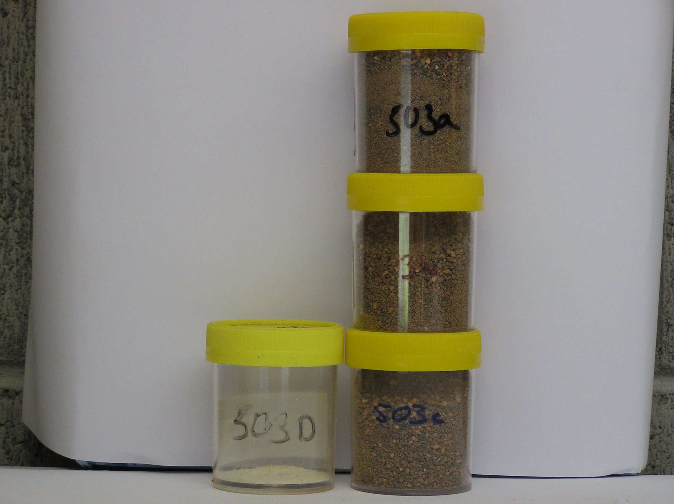
503a 4-0cm
101
surface boulders, cobbles, pebbles and granules
102
angular to subrounded and non to moderately stained
103
some smaller particles strongly altered
503b 0-8cm
201
strong brown (7.5YR 5/6) sandy bouldery gravel
202
weakly cohesive
203
weakly developed vesicular structure
204
few fine salt accumulations about some stones
205
rock particles subrounded to subangular and moderately stained with some strongly altered
206
distinct boundary
503c 8-25cm
301
strong brown (7.5YR 5/6) bouldery sandy gravel
302
loose
303
rock particles subrounded to subangular, moderately stained with some moderately to strongly altered
304
sharp boundary, on frozen ground
Yes
a,b,c,d
Hard ice-cemented
25
2
(25cm)
Geoland
| The till has originated from a formerly more extensive cirque glacier at the SW end of Elkhorn Ridge; soil weathering is less advanced than in soil 502, |
| indicating that glacial retreat occurred later than at site 502; the till contains few large boulders of pink Irizar Granite but has much fine granular pink feldspar; |
| an expanded Northwind Glacier may have extended into the cirque basin, depositing the granitic till, which has subsequently been reworked by the local cirque |
| head glacier |
| Soluble Salt |
| Concentration |
50300002
79.00
38.00
35.00
16.00
4.00
2.00
3.00
3.00
0.20
50300003
93.00
35.00
41.00
15.00
4.00
2.00
2.00
2.00
0.18
50300004
50300001
50300002
8.70
1.02
4.60
1.80
0.80
0.02
0.08
3.60
0.60
50300003
8.00
0.30
1.30
0.37
0.25
0.01
0.08
1.20
0.20
50300004
thenardite
50300001
50300002
40
10
10
10
30
50300003
20
15
10
5
10
40
50300004
50300001
12-Dec-2005
Page 461 of 896
503