Ross Sea Region Soil Sites
525000
525
5-Jan-1988
IBC, GGC
Convoy Range, Transantarctic Mountains; Alatna Valley
Soil weathering exmination
Ross Island & Vicinity, Antarctica, 1:250 000 US Geological Survey, 1986
CS Pro
No
160.9830
-76.9000
76deg 54.0'S
-160deg -59.0'E
At the western end of Alatna Valley and to the east of Battleship Promontory; the site is about 100m away from site 513 but on a flatter surface
2
NNE
870
cf. Notes for GEOLAND below
(2o)
Local snow patches but no water or soil moistening observed
-28
Coastal Mountain, xerous to subxerous
Sandy bouldery till from dolerite, sandstone and granite
Nil observed
Moderately developed nets; 50cm deep active cracks containing boulders
| SURFACE WEATHERING or |
| SURFACE FEATURES |
| Moderate surface staining dominantly on the lee sides; up-wind sides strongly abraded; a moderately developed cobble to small boulder pavement with |
| distinct clast rounding; salts beneath some surface clasts |
Nil
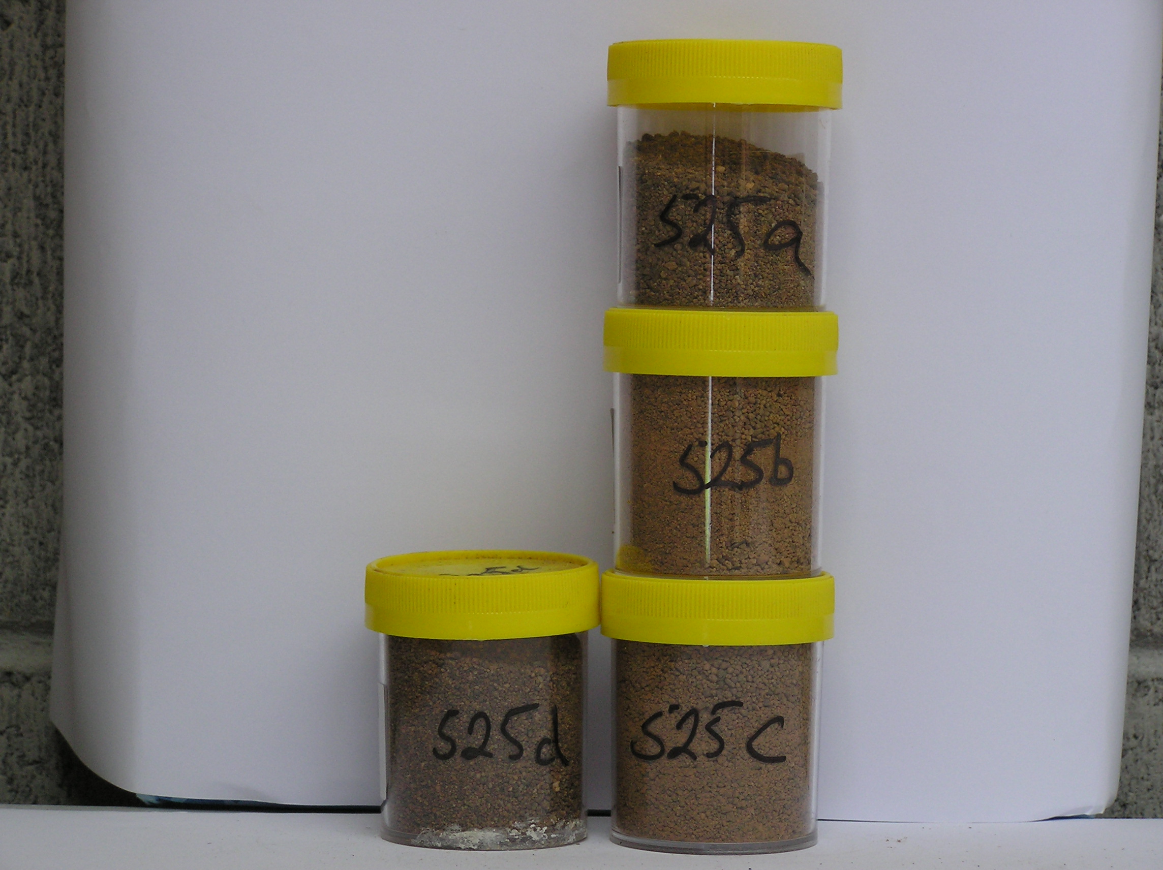
525a 3-0cm
101
surface cobbles and pebbly granular sand
102
rock particles subrounded to subangular and moderately to strongly stained
103
many particles weakly altered,
525b 0-5cm
201
strong brown (7.5YR 5/4) granular sand
202
weakly cohesive and crusty
203
weakly developed vesicular structure
204
a few fine salt flecks
205
some reddish oxidised patches beneath some surface clasts
206
rock particles rounded to subrounded, moderately stained and some distinctly altered
207
distinct boundary,
525c 5-16cm
301
strong brown (7.5YR 5/4) granular sand
302
moderately cohesive
303
moderately developed vesicular structure
304
rock particles subrounded, moderately stained and some distinctly altered
305
sharp boundary,
525d 16-24cm
401
dark brown (7.5YR 4/4) granular coarse sand
402
moderately cohesive
403
frosted
404
rock particles subrounded, moderately to strongly stained and some moderately altered
405
sharp boundary on hard ice-cemented ground
Yes
a,b,c,d
Hard ice-cemented
24
4
(24cm)
Geoland
| Alatna Valley has formed through ice recession from the Benson Glacier and ice from Staten Island Heights; the local rocks are extensive Beacon Sandstone |
| outcrops capped with Ferrar Dolerite; the tills include granites (pink Irizar granite) and gneissic rocks which occur nearer the coast and indicate ice movement |
| from the east; some hollows may be kettle holes |
| Soluble Salt |
| Concentration |
52500001
52500002
90.00
43.90
34.70
10.50
2.60
1.80
4.00
2.00
0.40
52500003
95.00
57.20
31.10
5.60
1.40
0.80
2.20
1.20
0.40
52500004
90.00
53.20
37.50
6.50
1.10
0.30
0.30
0.80
0.30
52500001
52500002
8.80
0.20
0.03
1.10
0.08
0.02
0.10
0.30
0.08
52500003
8.70
0.09
0.03
0.84
0.03
0.02
0.06
0.20
0.03
52500004
7.80
0.03
0.99
0.04
0.02
0.03
0.10
0.02
52500001
52500002
52500003
52500004
12-Dec-2005
Page 483 of 896
525