Ross Sea Region Soil Sites
531000
531
6-Jan-1988
IBC, GGC
Convoy Range, Transantarctic Mountains; Alatna Valley
Soil weathering examination
Ross Island & Vicinity, Antarctica, 1:250 000 US Geological Survey, 1986
CS Lscp
No
161.2170
-76.8667
76deg 52.0'S
-161deg -13.0'E
cf. Notes for DESCR below
0
Nil
950
cf. Notes for GEOLAND below
(0o)
Periodic summer snow falls; snow in patterned ground cracks but little visible soil moistening
-25
Coastal Mountain, xerous to subxerous
Wind-blown sand
Nil observed
Extensive and well developed broad nets with active movement
| SURFACE WEATHERING or |
| SURFACE FEATURES |
Loose sandy surface; clasts in the patterned ground crack are subangular and weakly stained
Nil
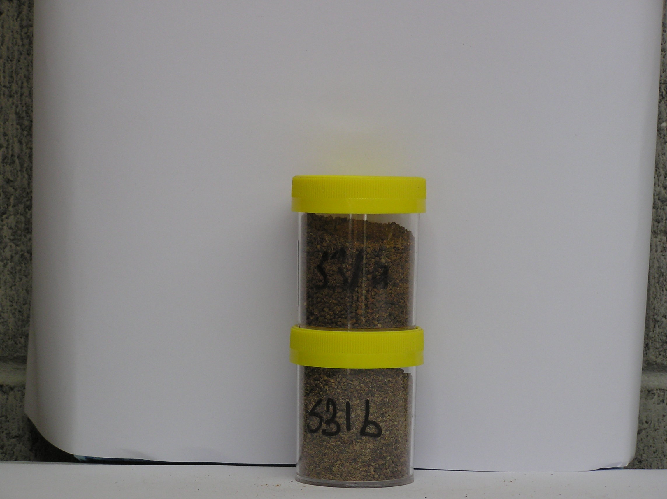
531a 0-5cm
101
yellowish brown (10YR 5/8) sand
102
loose
103
particles subangular to subrounded, moderately stained with some moderately altered,
531b 0-5cm
201
yellowish brown (10YR 5/8) coarse sand from patterned ground crack
202
loose
203
particles subangular to subrounded moderately stained with some moderately to strongly altered
Yes
a,b
0
1
Descr
| Central Alatna Valley, approximately 9km NNE of Battleship Promontory; 500m from the southern edge of the stagnant Staten Island Heights glacier; on an |
| undulating moraine surface; the site is a sand accumulation patch behind a boulder and in a patterned ground crack |
Geoland
| Alatna Valley has formed through ice recession from the Benson Glacier and ice from Staten Island Heights; the local rocks are extensive Beacon Sandstone |
| outcrops capped with Ferrar Dolerite; granite outliers are also present; the presence of pink Irizar Granite indicates earlier up-valley ice movement; many of the |
| soils are very sandy below the bouldery surface; the sand may in part originate from local erosion and become incorporated into the soil through cryic processes |
| Soluble Salt |
| Concentration |
53100001
88.00
54.30
30.90
8.90
2.10
1.00
1.20
1.40
0.30
53100002
88.00
60.10
32.30
6.40
0.40
0.10
0.20
0.30
0.30
53100001
7.40
2.30
2.90
28.15
12.75
0.02
18.00
39.00
17.60
53100002
7.90
0.12
0.01
0.20
0.02
0.09
0.10
0.30
53100001
53100002
12-Dec-2005
Page 489 of 896
531