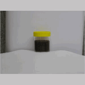
Ross Sea Region Soil Sites
540000
540
12-Jan-1988
IBC, GGC
Convoy Range, Transantarctic Mountains; Towle Valley
Soil weathering examination
Ross Island & Vicinity, Antarctica, 1:250 000 US Geological Survey, 1986
CS Pro & Lscp
No
160.5330
-76.7083
76deg 42.5'S
-160deg -32.0'E
cf. Notes for DESCR below
0
6o
1,700
cf. Notes for GEOLAND below
(N)
Some surface snow cover but no present thawing
-29
Coastal Mountain, xerous to subxerous
Fragmental dolerite in a joint plane crack
Lichens are plentiful
Nil
| SURFACE WEATHERING or |
| SURFACE FEATURES |
| Dolerite is coarse grained, weakly to moderately stained with surface disaggregation; soil material accumulating in joint planes forms wedges which slowly |
| pry boulders apart as part of freeze and thaw processes |
Nil
540a 0-35cm
101
strong brown (7.5YR 5/6) sandy pebble and granular gravel
102
moderately cohesive
103
| rock particles mainly subangular to angular and unstained but smaller particles subrounded to subangular, |
| moderately stained and some partly altered |
Yes
a
Dry-frozen
35
4
(>35cm)
Descr
| On a high dolerite surface above and to the Southwest of the Towle Valley, approximately 8km to the southwest of the Towle Glacier; an undulating largely |
| snow-covered bouldery surface formed by earlier ice over- riding; the site is on the edge of a dolerite escarpment in a crack between fractured dolerite columns |
Geoland
| Towle Valley is formed almost entirely in dolerite; the higher dissected plateau like surfaces above the Towle Valley have been exposed by ice sheet retreat; the |
| extensive patchy snow cover may have restricted development of prolonged weathering; bedrock weathering takes place through joint plane disaggregation |
| aided by wedging processes |
| Soluble Salt |
| Concentration |
54000001
54000001
7.80
20.00
3.00
22.50
7.10
9.70
20.20
81.70
54000001
12-Dec-2005
Page 498 of 896
540
