Ross Sea Region Soil Sites
551000
551
19-Jan-1988
IBC, GGC
Royal Society Range; Transantarctic Mountains
Soil weathering examination
Ross Island & Vicinity, Antarctica, 1:250 000 US Geological Survey, 1986
CS Lscp & Pro
No
163.2830
-78.2617
78deg 15.7'S
-163deg -17.0'E
| Walcott Bay, to the south of Walcott Glacier; approximately 1km from the southern margin of Walcott Glacier and 3km from the Koetlitz Glacier; a knoll in broadly undulating |
| topography; the crest of the knoll |
0
Nil
475
cf. Notes for GEOLAND below
(0o)
| The site is dry with no adjacent snow thaw patches; summer snowfalls occasionally moisten |
| the soil surface |
-20
Coastal Antarctic
Mixed stony till including granite, basalts, dolerite, schist, gneiss
Nil observed
Nil
| SURFACE WEATHERING or |
| SURFACE FEATURES |
Clasts subangular to subrounded; some overturned with carbonate coatings; some slight staining of granite clasts; some exfoliation of crystalline rocks
Nil
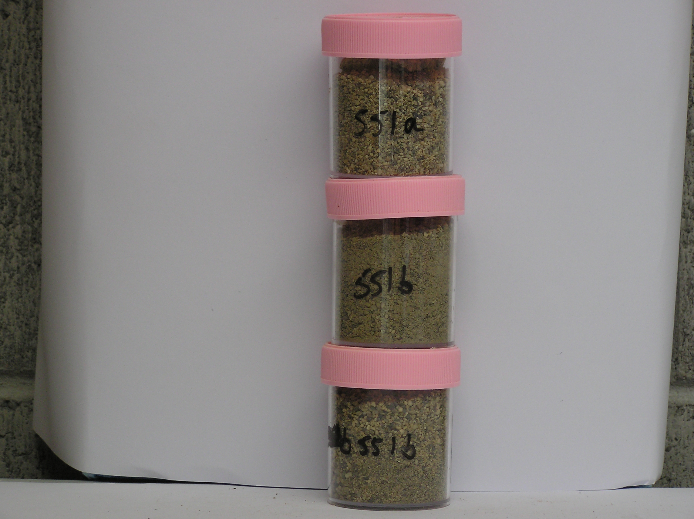
551a 6-0cm
101
surface bouldery gravel
102
non pavementic
103
rock particles angular to subrounded and non to very weakly stained
104
carbonate coatings beneath some clasts
551b 0-15cm
201
light olive brown (2.5Y 5/4) sandy coarse gravel
202
loose
203
carbonate coatings on some rock particles
204
some weakly formed but distinct sand wedges 12 cm deep
205
rock particles mainly subangular to subrounded and non to weakly stained
206
distinct boundary,
551c 15-40cm
301
light olive brown (2.5Y 5/4) sandy coarse gravel
302
weakly cohesive
303
moist
304
some thin silt coatings
305
rock particles subangular and unstained
306
sharp boundary, on hard ice-cemented ground
Yes
a,b,c
Hard ice-cemented
40
1
(40cm)
Geoland
| The Walcott Bay area has a complex geology with basement rocks, small volcanic cones and an extensive drift mantle which include a wide range of rocks; the |
| area was previously covered by the Koetlitz Glacier which has retreated; lower altitude surfaces are late Ross Glaciation in age; this higher surfaces mark earlier |
| stages of the retreat of the Ross Glacial ice |
| Soluble Salt |
| Concentration |
55100001
11.00
59.40
27.30
10.00
1.50
0.50
0.70
0.30
0.40
55100002
47.00
46.10
29.00
16.10
3.40
4.00
0.50
0.20
0.60
55100003
36.00
55100001
8.90
0.06
0.60
0.80
0.20
0.20
0.20
55100002
8.80
0.08
0.70
0.80
0.20
0.20
0.20
55100003
55100001
55100002
55100003
12-Dec-2005
Page 509 of 896
551