Ross Sea Region Soil Sites
570000
570
20-Jan-1990
IBC, GGGC, MRB
Marble Point region, western McMurdo Sound just east of the Wilson Piedmont Glacier, between Marble Point and Gneiss Point
Permafrost and soil moisture investigations
Marble Point Quadrangle, US Geological Survey, 1975
Lscp
Yes
163.6790
-77.4203
77deg 25.22'S
-163deg -40.74'E
On the old Marble Point runway surface, on the eastern edge, approximately 75m SE of site 568
0
Nil
75
cf. Notes for GEOLAND below
Oceanic subxerous, dry surface horizon, but slightly moist beneath
-18
Coastal Antarctic
Greyish sandy gravel construction fill from granodiorite, marble and other basement rocks over shattered basement rock
Nil observed at site
Nil
| SURFACE WEATHERING or |
| SURFACE FEATURES |
A disturbed (constructed) surface without pavement development
Surface disturbed from construction activity for aircraft runway
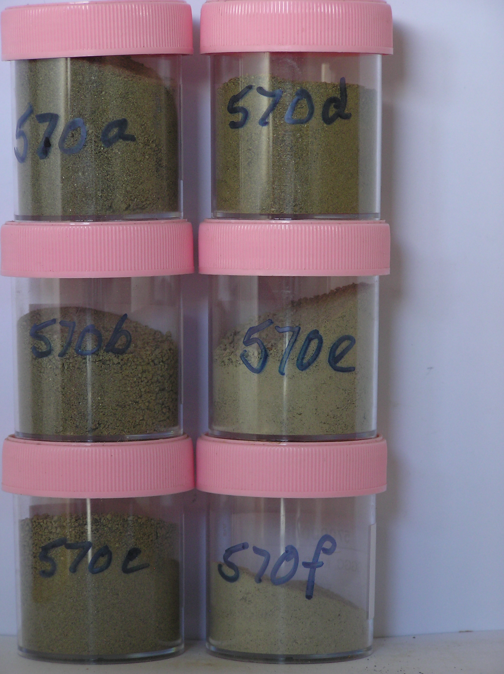
570a 0-10cm
101
olive (5Y 5/3) pebbly to cobbly sandy gravel
102
loose
103
rock particles angular and unstained
104
indistinct boundary,
570b 10-30cm
201
light olive brown to olive (2.5Y 5/4 - 5Y 5/3) pebbly to cobbly sandy gravel
202
moderately compact
203
slightly moist
204
indistinct boundary,
570c 30-67cm
301
pale olive (5Y 6/3) pebbly to cobbly sandy gravel
302
compact
303
slightly moist
304
distinct boundary,
570d 67-75cm
401
light olive brown (2.5Y 5/4) pebbly to cobbly sandy gravel
402
frosted
403
distinct boundary
404
570e 75-81cm
501
light brownish grey (2.5Y 6/2) stony gravel
502
firmly frosted
503
indistinct boundary,
570f 81-85cm
601
light brownish grey (2.5Y 6/2) stony gravel
602
firmly frosted
Yes
a,b,c,d,e,f
Dry frozen non ice-cemented
67
1
(67cm)
Geoland
| The land surface is a gently undulating till plain formed by retreat of the Wilson Piedmont Glacier; The Marble Point region is an old landscape, as evidenced by |
| deposits of phillipsite, buried soils and oxidised gneiss, which have been covered by advances of the grounded Ross Ice Shelf; later ice retreat and glaciological |
| features have been controlled by changes in the stranded Wilson Piedmont Glacier; the till mantle is patchy and dominated largely by locally occurring rocks; the |
| materials at this site were formed by the addition of fill about 1958 |
| Soluble Salt |
| Concentration |
57000001
570a
0-10cm
0
10
81.00
2.10
none
57000002
570b
10-30cm
10
30
59.00
3.60
none
57000003
570c
30-67cm
30
67
42.00
3.50
none
57000004
570d
67-75cm
67
75
32.00
5.60
none
57000005
570e
75-81cm
75
81
34.00
5.80
none
57000006
570f
81-85cm
81
85
23.00
4.20
none
57000001
81.00
7.80
16.30
42.50
22.10
5.00
4.00
2.00
0.30
2.10
57000002
59.00
21.70
17.50
26.10
15.90
9.20
6.20
3.00
0.40
3.60
57000003
42.00
22.10
21.00
21.50
12.80
11.30
7.80
2.60
0.80
3.50
57000004
32.00
24.70
26.50
25.50
10.80
5.90
3.20
2.00
1.30
5.60
57000005
34.00
16.70
18.00
20.80
11.60
11.90
11.90
8.50
0.50
5.80
57000006
23.00
18.70
13.40
14.60
9.70
12.50
19.10
11.50
0.50
4.20
57000001
8.50
0.30
1.50
0.20
0.10
0.10
1.00
0.30
0.08
57000002
9.50
0.50
2.40
0.10
0.20
0.10
1.80
0.40
0.04
57000003
9.10
0.56
2.60
0.10
0.10
0.10
2.40
0.40
0.04
57000004
8.20
0.64
2.70
0.50
0.20
0.10
3.00
0.20
0.10
57000005
9.00
0.56
2.60
0.30
0.10
0.10
2.00
0.40
0.01
57000006
8.90
0.48
57000001
25
10
10
30
25
57000002
15
15
5
35
57000003
80
5
15
45
5
57000004
15
35
10
30
4
4
2
57000005
8
4
4
4
68
2
8
57000006
22
10
42
4
10
12
12-Dec-2005
Page 528 of 896
570