Ross Sea Region Soil Sites
573000
573
21-Jan-1990
IBC, GGGC, MRB
Marble Point region, western McMurdo Sound just east of the Wilson Piedmont Glacier, between Marble Point and Gneiss Point
Permafrost and soil moisture investigations
Marble Point Quadrangle, US Geological Survey, 1975
Lscp
Yes
163.6770
-77.4203
77deg 25.22'S
-163deg -40.62'E
cf. Notes for DESCR below
0
Nil
75
cf. Notes for GEOLAND below
Oceanic subxerous, moist surface horizons
-18
Coastal Antarctic
Moist sandy gravel 'slick spot'
Nil observed at site
Nil
| SURFACE WEATHERING or |
| SURFACE FEATURES |
Patchy moist surface spots in association with dry salty patches
Some shallow ground scraping
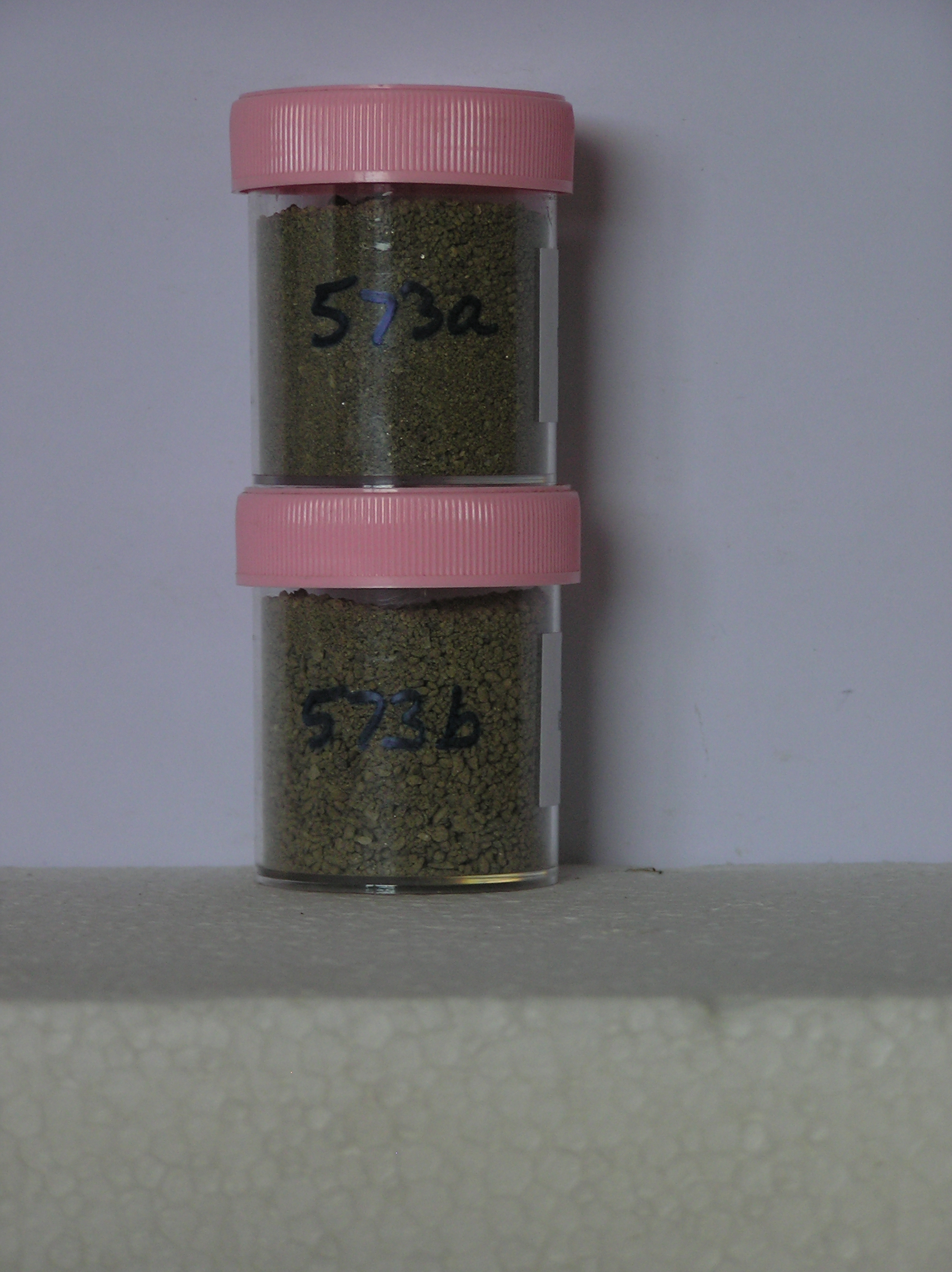
573a 0-10cm
101
olive (5Y 5/3) sandy gravel
102
loose
103
moist
104
indistinct boundary,
573b 10-20cm
201
olive to pale olive (5Y 5/3 - 6/3) sandy gravel
202
loose
203
moist
Yes
a,b
0
1
Descr
| About 50m from the western side of the old runway, towards the northern end, adjacent to a scraped surface and about 10m S of site 571; the surface is |
| disturbed; the surface is marked by patchy distributions on surface salt precipitations and was sampled to compare soil moisture contents at a dry and a moist |
| 'slick spot' site; 572 is a dry site |
Geoland
| The land surface is a gently undulating till plain formed by retreat of the Wilson Piedmont Glacier; The Marble Point region is an old landscape, as evidenced by |
| deposits of phillipsite, buried soils and oxidised gneiss, which have been covered by advances of the grounded Ross Ice Shelf; later ice retreat and glaciological |
| features have been controlled by changes in the stranded Wilson Piedmont Glacier; the till mantle is patchy and dominated largely by locally occurring rocks; |
| surface salt precipitations are probably a result of ground disturbance, permafrost retreat and salt release |
| Soluble Salt |
| Concentration |
57300001
573a
0-10cm
0
10
53.00
4.10
none
57300002
573b
10-20cm
10
20
none
57300001
53.00
25.30
20.90
29.50
15.00
5.20
2.50
1.20
0.30
4.10
57300002
38.00
39.30
19.60
17.60
9.90
6.40
5.50
1.30
0.30
4.00
57300001
8.00
2.20
4.00
1.90
1.90
0.30
5.70
0.30
0.35
57300002
8.30
0.60
1.00
0.50
0.50
0.20
1.50
0.60
0.01
57300001
35
35
15
15
57300002
25
15
25
35
12-Dec-2005
Page 531 of 896
573