Ross Sea Region Soil Sites
576000
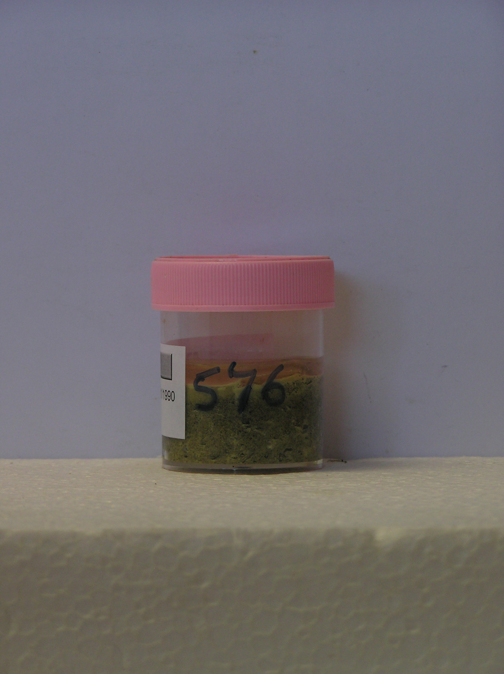
576
22-Jan-1990
IBC, GGGC, MRB
Marble Point region, western McMurdo Sound just east of the Wilson Piedmont Glacier, between Marble Point and Gneiss Point
Suspected contamination material
Marble Point Quadrangle, US Geological Survey, 1975
Yes
163.6840
-77.4236
77deg 25.42'S
-163deg -41.04'E
About 20m west of the Marble Point air facility building, near the edge of a bulldozer track and near the edge of a pond which receives wastewater runoff
0
Nil
75
cf. Notes for GEOLAND below
Oceanic subxerous,
-18
Coastal Antarctic
A single surface sample of precipitated salt like material with a yellowish colour from near the edge of the pond
Nil observed at site
Nil
| SURFACE WEATHERING or |
| SURFACE FEATURES |
Precipitated deposit
Vehicle tracking and chemical contamination from site activity
576a 0-5cm
101
yellow (5Y 7/8) gravelly sand with abundant crystalline precipitate,
Yes
a
0
Geoland
| The land surface is a gently undulating till plain formed by retreat of the Wilson Piedmont Glacier; The Marble Point region is an old landscape, as evidenced by |
| deposits of phillipsite, buried soils and oxidised gneiss, which have been covered by advances of the grounded Ross Ice Shelf; later ice retreat and glaciological |
| features have been controlled by changes in the stranded Wilson Piedmont Glacier; the till mantle is patchy and dominated largely by locally occurring rocks; the |
| pond may be an artificial feature that receives local thaw runoff |
| Soluble Salt |
| Concentration |
57600001
576a
0-5cm
0
5
none
57600001
34.00
15.70
18.50
11.10
8.10
7.40
1.60
3.60
57600001
2.90
20.00
20.00
105.00
89.20
200.00
19.00
57600001
25
25
10
30
10
12-Dec-2005
Page 534 of 896
576