Ross Sea Region Soil Sites
578000
578
23-Jan-1990
IBC, GGGC, MRB
Marble Point region, western McMurdo Sound just east of the Wilson Piedmont Glacier, between Marble Point and Gneiss Point
| Soil contamination and environmental process evaluation; sampled to determine extent of contaminant |
| movement by heavy metals from crushed lead acid battery |
Marble Point Quadrangle, US Geological Survey, 1975
CS Pro & Lscp
Yes
163.6850
-77.4219
77deg 25.31'S
-163deg -41.10'E
| Old Marble Point construction camp site, approximately 100m north of Surko Stream, in the heavily disturbed area; much of the area has been modified by attempted burial of |
| the trashed camp site |
0
Nil
60
cf. Notes for GEOLAND below
Oceanic subxerous, dry surface horizons but moist in lower horizons
-18
Coastal Antarctic
Sandy gravel till from predominantly marble and gneiss with surface disturbance and crushed artefacts (lead acid battery)
Nil observed at site
Nil
| SURFACE WEATHERING or |
| SURFACE FEATURES |
Some white salt precipitated beneath some artefact fragments
| Considerable ground surface disturbance from tracked machinery; crushed lead acid battery with some white salts precipitated beneath; many artifacts |
| scattered around the area but a major USA cleanup in 1998/99 |
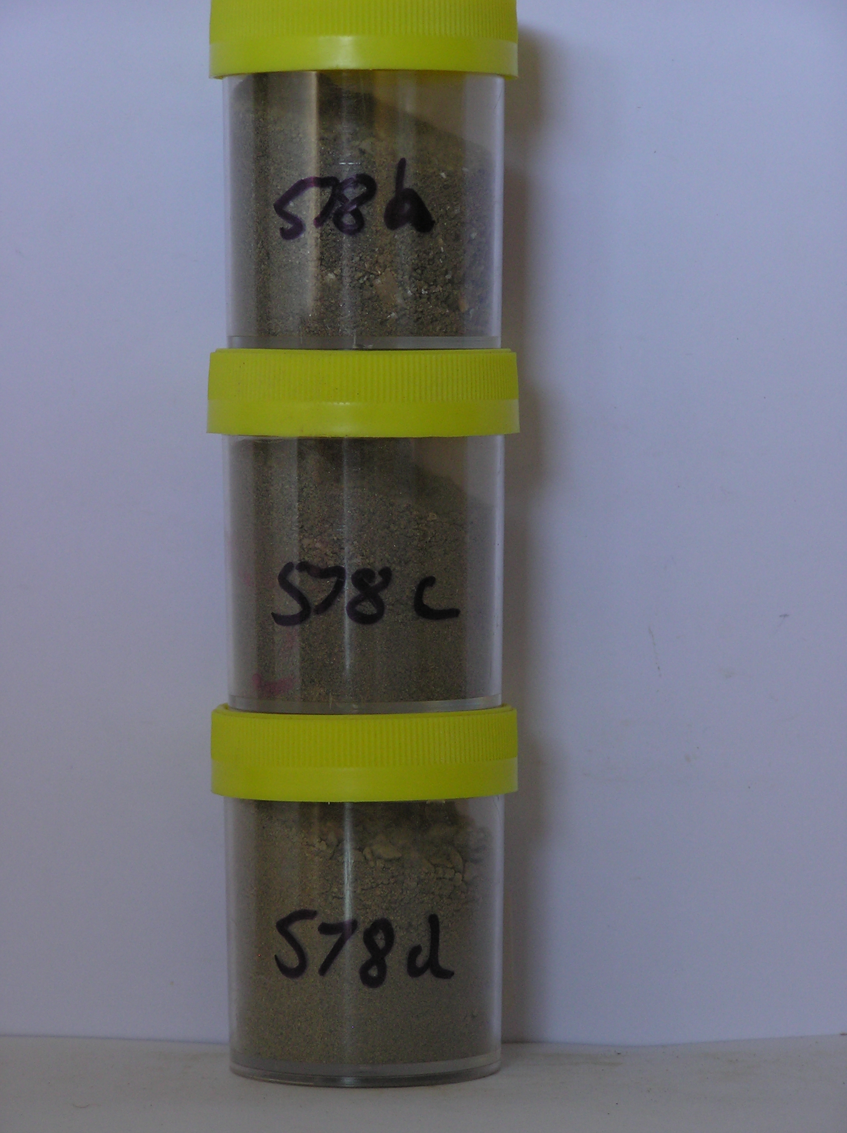
578a 1-0cm
101
light greyish brown to olive (2.5Y 6/2 - 5Y 5/3) fine gravelly sand
102
loose
103
white salts precipitated at the surface near lead fragments
104
indistinct boundary,
578b 0-10cm
201
light greyish brown (2.5Y 6/2) pebbly sandy gravel
202
loose
203
distinct boundary,
578c 30-40cm
301
light olive brown (2.5Y 5/4) sandy cobble gravel
302
moist
303
moderately cohesive
304
indistinct boundary,
578d 40-65cm
401
light olive brown (2.5Y 5/4) bouldery sandy gravel
402
slightly sticky
403
moist
404
moderately cohesive
405
distinct boundary,
578e 65-70cm
501
light olive brown (2.5Y 5/4) very bouldery sand
502
sharp boundary,
578f 65-70cm
601
dark yellowish brown (10YR 4/4) silty sand forming irregular inclusions
602
sharp boundary, on ice-cemented ground
Yes
a,c,d
Hard ice-cemented
70
1
(70cm)
Geoland
| The land surface is a gently undulating till plain formed by retreat of the Wilson Piedmont Glacier; The Marble Point region is an old landscape, as evidenced by |
| deposits of phillipsite, buried soils and oxidised gneiss, which have been covered by advances of the grounded Ross Ice Shelf; later ice retreat and glaciological |
| features have been controlled by changes in the stranded Wilson Piedmont Glacier; the till mantle is patchy and dominated largely by locally occurring rocks |
| Soluble Salt |
| Concentration |
57800001
578a
1-0cm
-1
0
none
57800002
578b
0-10cm
0
10
none
57800003
578c
20-30cm
20
30
none
57800004
578d
30-40cm
30
40
none
57800005
578e
40-55cm
40
55
none
57800006
578f
65-70cm
65
70
none
57800007
578g
65-70cm
65
70
none
57800002
57800003
57800004
57800001
57800005
57800006
57800007
57800002
57800003
57800004
57800001
57800005
57800006
57800007
57800002
see claridge et al
57800003
Antarctic science (7) 9-14
57800004
57800001
trace element data
57800005
57800006
57800007
12-Dec-2005
Page 536 of 896
578