Ross Sea Region Soil Sites
580000
580
23-Jan-1990
IBC, GGGC, MRB
Marble Point region, western McMurdo Sound just east of the Wilson Piedmont Glacier, between Marble Point and Gneiss Point
| Soil contamination and environmental process evaluation; sampled to determine contaminant movement by |
| heavy metals from the edge of an old rubbish dump |
Marble Point Quadrangle, US Geological Survey, 1975
Lscp
Yes
163.6890
-77.4253
77deg 25.52'S
-163deg -41.34'E
| Old Marble Point construction camp site, approximately 50m north of Surko Stream, in the heavily disturbed area; much of the area has been modified by attempted burial of |
| the trashed camp site |
0
Nil
60
cf. Notes for GEOLAND below
Oceanic subxerous, dry surface horizons but moist in lower horizons
-18
Coastal Antarctic
Sandy gravel till from predominantly marble and gneiss
Nil observed at site
Nil
| SURFACE WEATHERING or |
| SURFACE FEATURES |
Dump contains many cans, as well as piping, wire, wood, oil filters, carton bands etc; the steel cans are heavily corroded
Considerable ground surface disturbance from tracked machinery during earlier site clean up; a major USA cleanup of the area in 1998/99
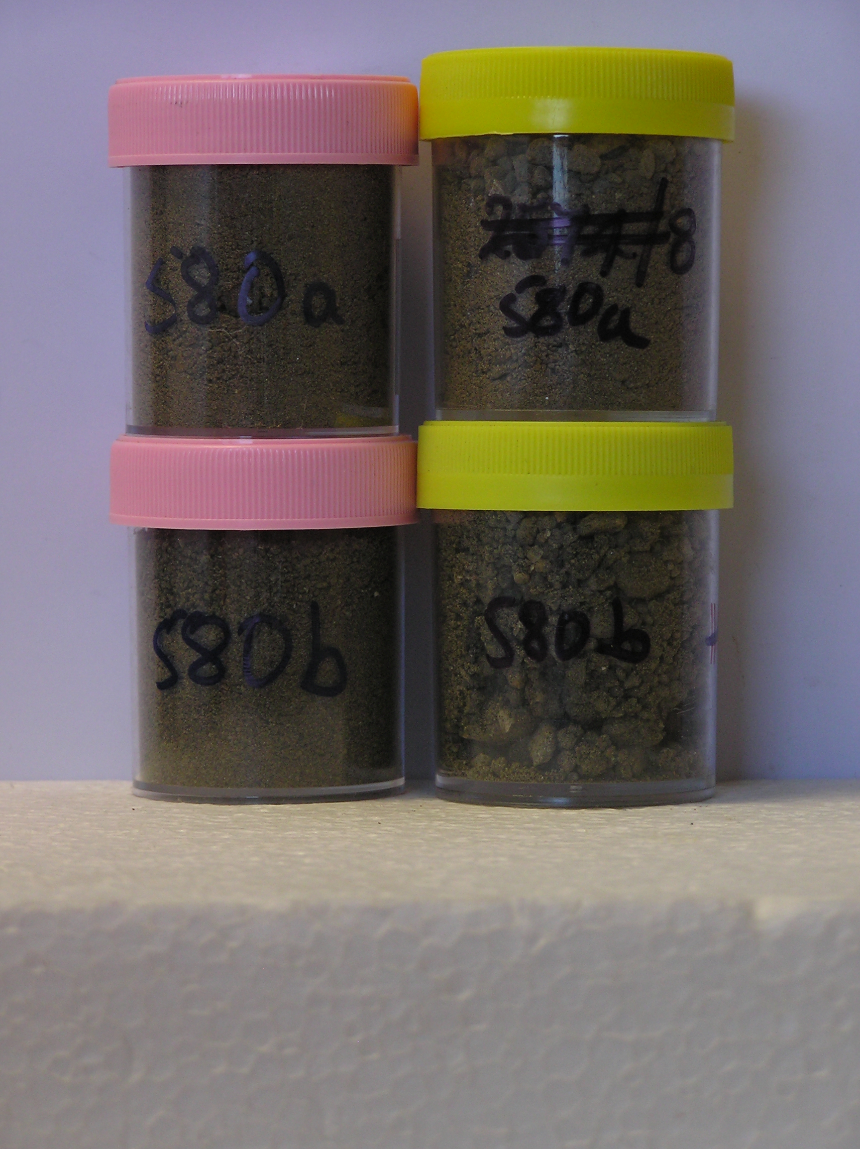
580a 0-5cm
101
greyish brown (2.5Y 5/2) sandy gravel from beneath rusting cans, loose,
580b 0-5cm
201
2 m away with no cans present, greyish brown (2.5Y 5/2) sandy gravel,
Yes
a,b(x2)
0
1
Geoland
| The land surface is a gently undulating till plain formed by retreat of the Wilson Piedmont Glacier; The Marble Point region is an old landscape, as evidenced by |
| deposits of phillipsite, buried soils and oxidised gneiss, which have been covered by advances of the grounded Ross Ice Shelf; later ice retreat and glaciological |
| features have been controlled by changes in the stranded Wilson Piedmont Glacier; the till mantle is patchy and dominated largely by locally occurring rocks |
| Soluble Salt |
| Concentration |
58000001
580a
0-2cm
0
2
none
58000002
580b
0-2cm
0
2
none
58000001
58000002
58000001
58000002
58000001
Antarctic science (7) 9-14
58000002
12-Dec-2005
Page 538 of 896
580