Ross Sea Region Soil Sites
591000
591
31-Jan-1990
IBC, GGGC, MRB
Pram Point, Scott Base, Ross Island
Soil moisture and permafrost investigations
Dept of Interior US Geological Survey 1986
CS Pro & Lscp
Yes
166.7410
-77.8519
77deg 51.11'S
-166deg -44.46'E
| Between Scott Base and Crater Hill, a small nivation cirque above and west south of a bend in the track to a US radio antennae facility; this site is the third of 5 sites sampled in |
| sequence; this site 0.5m from the edge of a snow bank |
6
SE
70
cf. Notes for GEOLAND below
48
-2.5
Xerous to subxerous; some moisture from adjacent snow melt
-18
Coastal Antarctic
Bouldery till and slope debris predominantly from scoria with minor accessions of sedimentary and granitic rocks
Nil
Minor ground shrinkage cracks from ice cement retreat
| SURFACE WEATHERING or |
| SURFACE FEATURES |
Unweathered
Nil
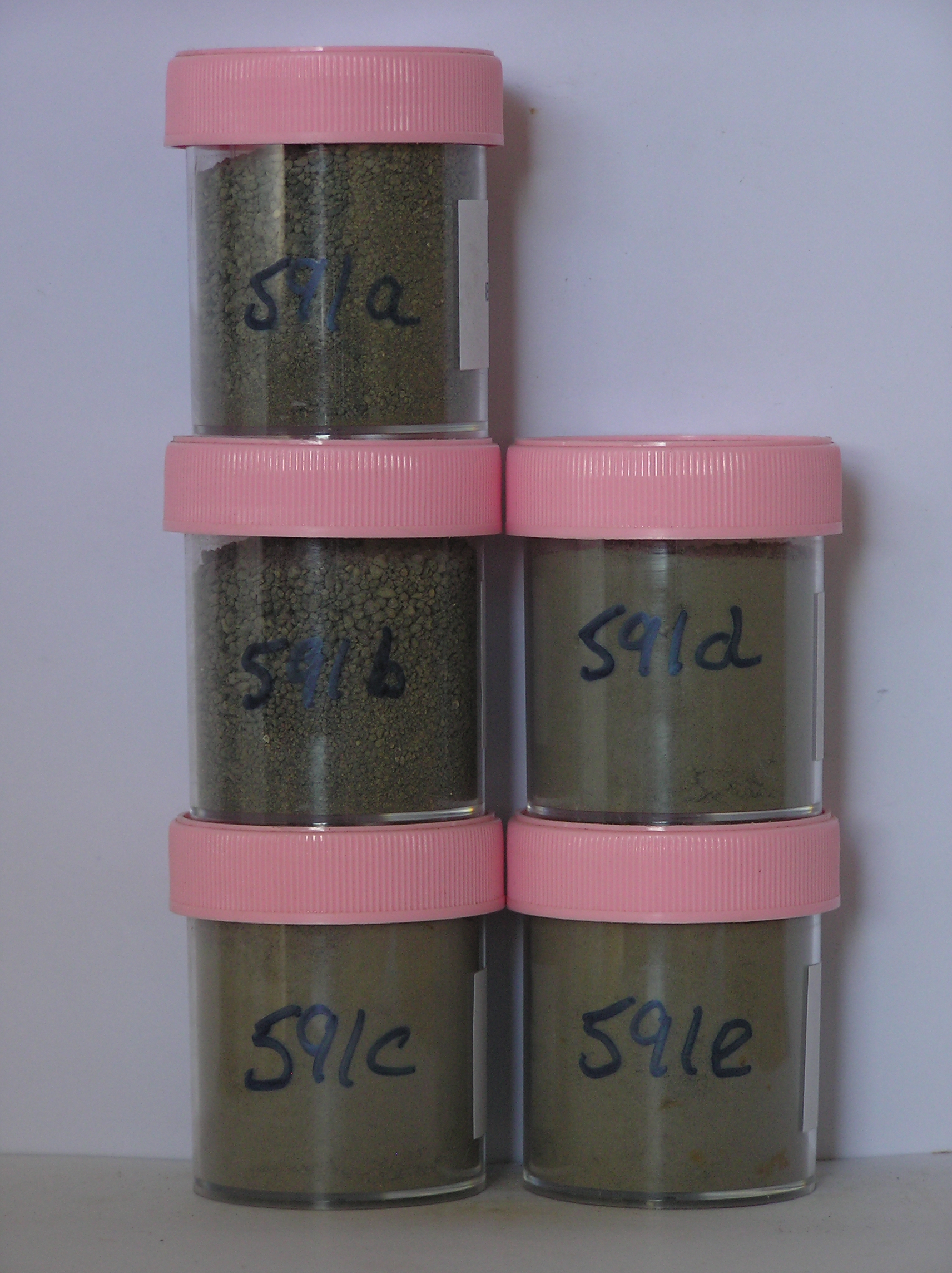
591a 0-2cm
101
greyish brown (2.5Y 5/2) gravelly sand
102
loose
103
indistinct boundary,
591b 2-10cm
201
greyish brown (2.5Y 5/2) gravelly sand
202
moist
203
sharp boundary, drill core in ice-cemented ground
591c 10-28cm
301
[greyish brown 2.5Y 5/2) sandy scoria gravel,
591d 28-40cm
401
[ greyish brown (2.5Y 5/2) sandy scoria gravel
591e 40-48cm
501
[ greyish brown (2.5Y 5/2) sandy scoria gravel
Yes
a,b,c,d,e
Hard ice-cemented
10
1
(10cm)
Geoland
| Rocks are predominantly scoria flows of the McMurdo Volcanics; Last Glaciation Ross 1 ice covered the site and traces of rocks (sandstone and granite granules |
| and small pebbles) probably from the Royal Society Range can be found; the drift mantle is thin and patchy with bedrock a little below the surface |
| Soluble Salt |
| Concentration |
59100001
591a
0-2cm
0
2
51.00
2.20
none
59100002
591b
1-10cm
1
10
71.00
5.20
none
59100003
591c
10-28cm
10
28
64.00
10.70
none
59100004
591d
28-40cm
28
40
46.00
17.20
none
59100005
591e
40-48cm
40
48
76.00
23.30
none
59100001
51.00
50.80
25.20
16.00
3.80
0.90
2.10
1.00
0.30
59100002
58.00
55.00
21.50
12.70
4.10
1.40
2.20
2.80
0.30
59100003
63.00
39.80
14.80
13.40
9.30
11.30
10.10
1.00
0.20
59100004
46.00
33.20
16.90
16.40
9.90
11.30
9.50
2.40
0.40
59100005
76.00
26.90
18.40
17.70
10.30
12.10
10.50
3.50
0.60
59100001
8.80
0.16
1.06
0.05
0.02
0.25
0.34
0.01
59100002
8.50
0.08
0.56
0.01
0.05
0.08
0.13
0.01
59100003
9.40
0.14
0.93
0.06
0.01
0.08
0.13
59100004
9.50
0.22
1.27
0.06
0.02
0.42
0.53
59100005
9.30
0.29
1.88
0.05
0.04
0.84
0.44
59100001
59100002
59100003
59100004
59100005
12-Dec-2005
Page 549 of 896
591