Ross Sea Region Soil Sites
595000
595
1-Feb-1990
IBC, GGGC, MRB
Pram Point, Scott Base, Ross Island
Soil moisture and permafrost investigations
Dept of Interior US Geological Survey 1986
Lscp
Yes
166.7500
-77.8483
77deg 50.90'S
-166deg -45.00'E
| Between Scott Base and Crater Hill, almost in a direct line, on the undulating floor of a shallow gully; this site is on a small rise on the gully floor, about 20m from the snow |
| bank; the second of a sequence of three sites |
5
SE
75
cf. Notes for GEOLAND below
Xerous to subxerous; probably some moisture flow at times
-18
Coastal Antarctic
Cobbly to bouldery till and slope debris predominantly from scoria with minor accessions of sedimentary and granitic rocks
Nil
Hummocky ground probably due to subsurface ice melt out
| SURFACE WEATHERING or |
| SURFACE FEATURES |
Greyish unweathered surface, much surface salt in patches
| Probably no physical disturbance but much fine rubbish probably wind blown; this surface is exposed because of snowbank retreat through anthropogenic |
| influence |
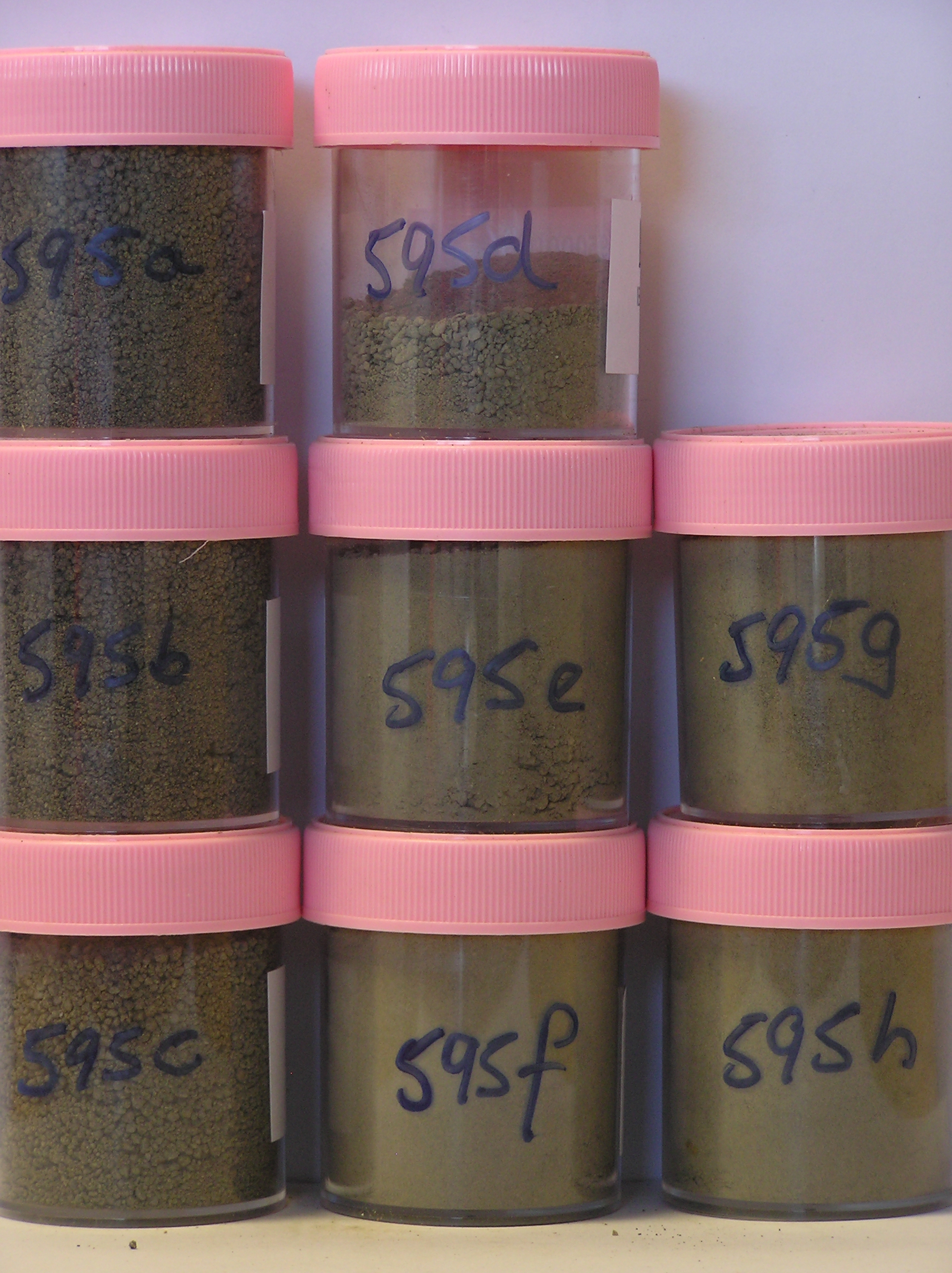
595a 0-5cm
101
greyish brown (2.5Y 5/2) sandy pebble gravel
102
weakly cohesive
103
moist
104
rock particles subangular
105
indistinct boundary,
595b 5-12cm
201
greyish brown (2.5Y 5/2) sandy pebble gravel
202
moderately cohesive
203
moist
204
rock particles subangular
205
indistinct boundary,
595c 12-20cm
301
greyish brown (2.5Y 5/2) sandy gravel
302
moderately cohesive
303
moist
304
rock particles subangular
305
sharp boundary, drill core in ice-cemented ground
595d 20-27cm
401
[greyish brown (2.5Y 5/2) sandy gravel,
595e 27-41cm
501
[greyish brown (2.5Y 5/2) sandy gravel,
595f 41-50cm
601
[greyish brown (2.5Y 5/2) sandy gravel with scoria rock,
595g 50-61cm
701
[greyish brown (2.5Y 5/2) sandy gravel with scoria rock,
595h 61-75cm
801
[greyish brown (2.5Y 5/2) sandy gravel with scoria rock,
Yes
a,b,c,d,e,f,g,h
Hard ice-cemented
20
1
(20cm)
Geoland
| Rocks are predominantly scoria flows of the McMurdo Volcanics; Last Glaciation Ross 1 ice covered the site and traces of rocks (sandstone and granite granules |
| and small pebbles) probably from the Royal Society Range can be found; the drift mantle is thin and patchy with bedrock a little below the surface |
| Soluble Salt |
| Concentration |
59500001
595a
0-5cm
0
5
53.00
7.40
none
59500002
595b
5-12cm
5
12
70.00
8.20
none
59500003
595c
12-20cm
12
20
59.00
7.10
none
59500004
595d
20-27cm
20
27
54.00
52.80
none
59500005
595e
27-41cm
27
41
61.00
91.60
none
59500006
595f
41-50cm
41
50
70.00
55.50
none
59500007
595g
50-61cm
50
61
73.00
66.60
none
59500008
595h
61-75cm
61
75
73.00
61.40
none
59500001
52.80
59500002
70.20
59500003
58.00
59500004
54.10
59500005
61.30
59500006
70.20
59500007
73.50
59500008
73.40
59500001
59500002
59500003
59500004
59500005
59500006
59500007
59500008
59500001
59500002
59500003
59500004
59500005
59500006
59500007
59500008
12-Dec-2005
Page 553 of 896
595