Ross Sea Region Soil Sites
596000
596
1-Feb-1990
IBC, GGGC, MRB
Pram Point, Scott Base, Ross Island
Soil moisture and permafrost investigations
Dept of Interior US Geological Survey 1986
Lscp
Yes
166.7480
-77.8486
77deg 50.92'S
-166deg -44.88'E
| Between Scott Base and Crater Hill, almost in a direct line, on the undulating floor of a shallow gully; this site is at the edge of a retreating snowbank on the northern side of |
| the gully; the third of a sequence of three sites |
6
SE
75
cf. Notes for GEOLAND below
Xerous to subxerous; surface moist from thawing snow
-18
Coastal Antarctic
Cobbly to bouldery till and slope debris predominantly from scoria with minor accessions of sedimentary and granitic rocks
Nil
Nil
| SURFACE WEATHERING or |
| SURFACE FEATURES |
Greyish unweathered surface, much surface salt in patches
| Probably no physical disturbance but some fine rubbish probably wind blown; this surface is exposed because of snowbank retreat through anthropogenic |
| influence |
596
101
Drill core in ice-cemented ground
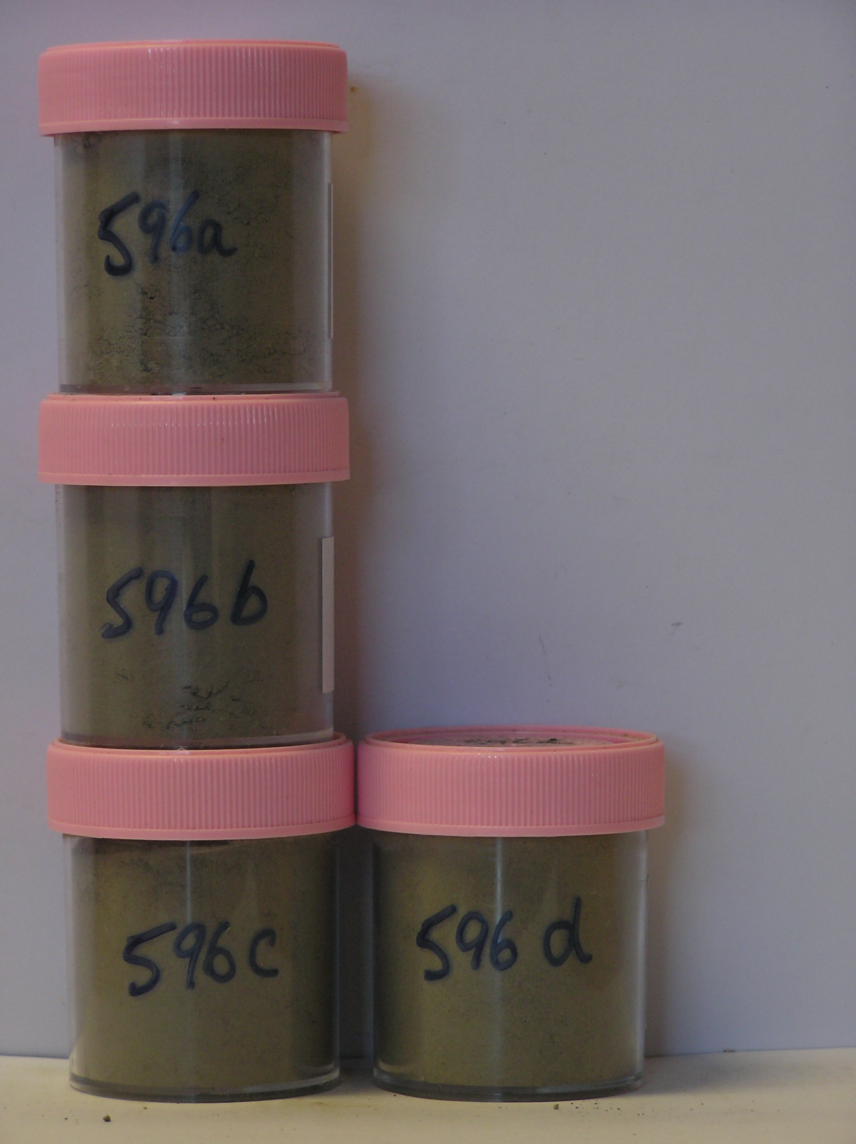
596a 0-27cm
201
[greyish brown (2.5Y 5/2) sandy gravel,
596b 27-37cm
301
[greyish brown (2.5Y 5/2) sandy gravel,
596c 37-44cm
401
[greyish brown (2.5Y 5/2) sandy gravel,
596d 44-66cm
501
[greyish brown (2.5Y 5/2) sandy gravel
Yes
a,b,c,d
Hard ice-cemented
1
1
(1cm)
Geoland
| Rocks are predominantly scoria flows of the McMurdo Volcanics; Last Glaciation Ross 1 ice covered the site and traces of rocks (sandstone and granite granules |
| and small pebbles) probably from the Royal Society Range can be found; the drift mantle is thin and patchy with bedrock a little below the surface |
| Soluble Salt |
| Concentration |
59600001
596a
0-27cm
0
27
59.00
11.00
none
59600002
596b
27-37cm
27
37
50.00
21.40
none
59600003
596c
37-44cm
37
44
59.00
25.40
none
59600004
596d
44-66cm
44
66
70.00
27.30
none
59600001
59.00
59600002
50.00
59600003
59.00
59600004
20.00
59600001
59600002
59600003
59600004
59600001
59600002
59600003
59600004
12-Dec-2005
Page 554 of 896
596