Ross Sea Region Soil Sites
606000
606
8-Feb-1990
IBC, GGGC, MRB
Pram Point, Scott Base, Ross Island
Lithium chloride leaching experiment; first resample from 'wet' gully site
Dept of Interior US Geological Survey 1986
CS Pro & Lscp
Yes
166.7610
-77.8564
77deg 51.38'S
-166deg -45.66'E
cf. Notes for DESCR below
3
E
55
cf. Notes for GEOLAND below
Oceanic subxerous; a 'wet' site in a gully below a snow patch which thaws in some years
-18
Coastal Antarctic
Bouldery till and slope debris predominantly from scoria with minor accessions of sedimentary and granitic rocks
Nil
Weakly developed frost heave polygons
| SURFACE WEATHERING or |
| SURFACE FEATURES |
Nil
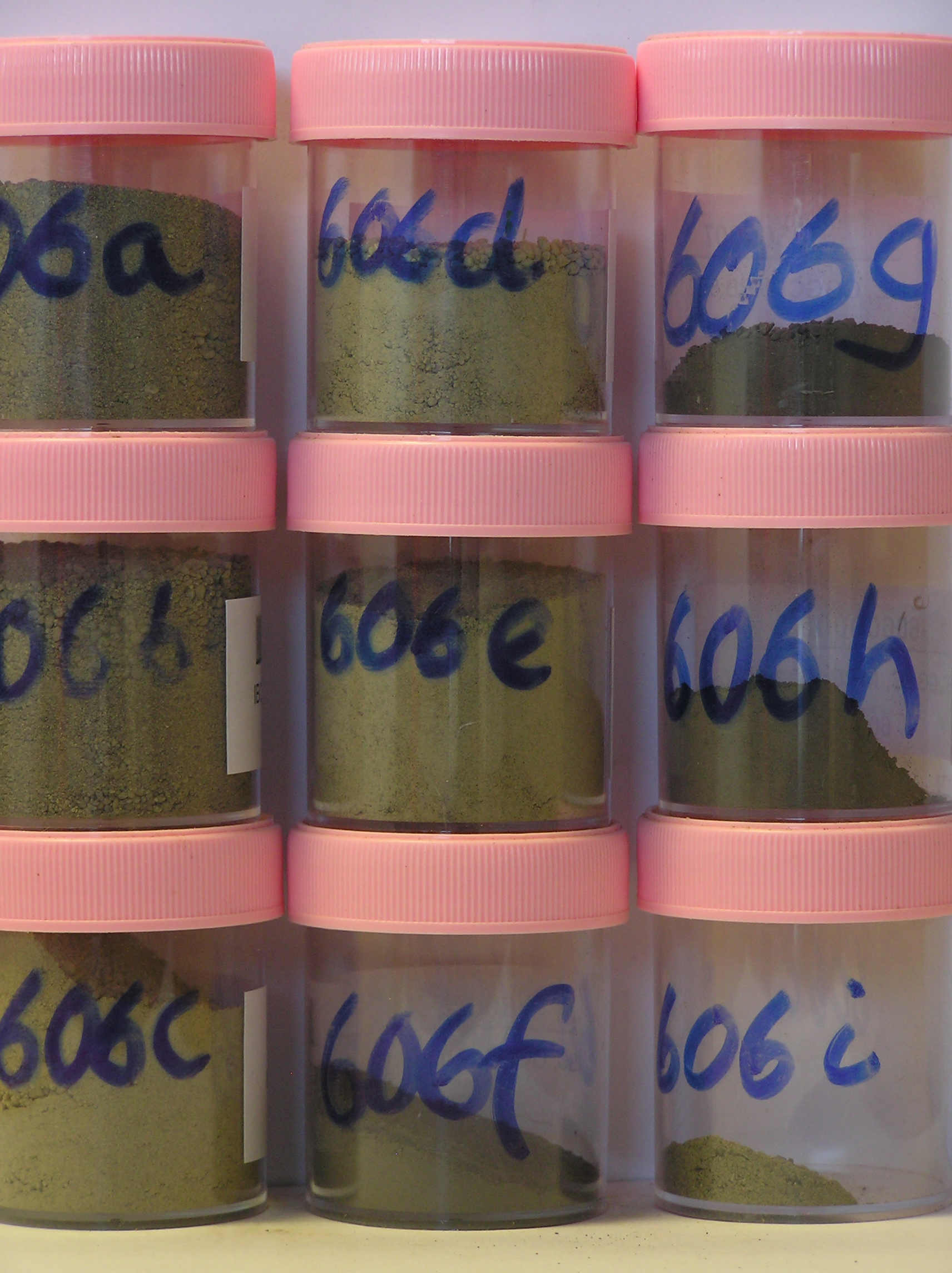
606a 1-0cm
101
surface pebbles, granules and sand
102
loose
103
sharp boundary,
606b 0-6cm
201
greyish brown (2.5Y 5/2) cobbly sandy scoria gravel
202
loose
203
rock particles subrounded and unstained
204
indistinct boundary,
606c 6-12cm
301
light brownish grey (2.5Y 6/2) cobbly sandy scoria gravel
302
weakly cohesive
303
moist
304
smaller rock particles subrounded
305
indistinct boundary,
606d 12-18cm
401
light brownish grey (2.5Y 6/2) cobbly sandy scoria gravel
402
moderately cohesive
403
moist
404
smaller rock particles subrounded
405
indistinct boundary,
606e 18-24cm
501
light brownish grey (2.5Y 6/2) cobbly sandy scoria gravel
502
moderately cohesive
503
moist
504
smaller rock particles subrounded
505
sharp boundary, drill core in ice-cemented ground
606f 24-34cm
601
[ dark grey (10YR 4/1) angular scoria gravel,
606g 34-44cm
701
[ greyish brown (2.5Y 5/2) angular scoria gravel,
606h 44-53cm
801
[ greyish brown (2.5Y 5/2) angular scoria gravel,
606i 20cm
901
(salts?? above ice-cemented ground)
Yes
a,b,c,d,e,f,g,h,i
Hard ice-cemented
24
1
(24cm)
Descr
| Approximately 350m northwest of the western end of Scott Base in the floor of a shallow gully, 20m NW of site 587 and 3-4m lower in altitude; about 50m |
| north of the Scott Base to McMurdo Station; at this site, 4 contiguous 1m X 1m plots were set out and 3 irrigated with LiCl, the 4th (northernmost) with H2O; |
| this sampling was from the first application plot |
Geoland
| Rocks are predominantly scoria flows of the McMurdo Volcanics; Last Glaciation Ross 1 ice covered the site and traces of rocks (sandstone and granite granules |
| and small pebbles) probably from the Royal Society Range can be found; the drift mantle is thin and patchy with bedrock a little below the surface |
| Soluble Salt |
| Concentration |
60600001
606a
1-0cm
-1
0
none
60600002
606b
0-6cm
0
6
none
60600003
606c
6-12cm
6
12
none
60600004
606d
12-18cm
12
18
none
60600005
606e
18-24cm
18
24
none
60600006
606f
24-34cm
24
34
none
60600007
606g
44-53cm
44
53
none
60600008
606h
34-44cm
34
44
none
60600009
606i
20-20cm
20
20
none
60600001
26.70
23.70
32.30
9.60
3.40
3.60
0.70
60600002
38.90
24.10
26.10
6.60
1.40
2.40
0.50
60600003
37.70
14.90
19.10
9.20
6.30
10.60
2.10
60600004
34.40
19.80
20.30
8.30
5.70
10.10
1.30
60600005
38.00
19.40
18.20
8.30
7.10
7.70
1.30
60600006
18.00
9.90
13.70
17.20
23.00
18.00
0.20
60600007
18.00
15.30
18.60
15.70
19.00
12.30
1.10
60600008
25.90
9.50
28.00
11.80
12.70
10.70
1.30
60600001
60600002
60600003
60600004
60600005
60600006
60600007
60600008
60600001
7
7
6
5
15
lithium plots
60600002
5
5
5
5
15
see Claridge et al
60600003
7
3
5
10
5
15
perm. perigl. proc (10) 223-233
60600004
10
13
12
10
5
15
60600005
5
8
10
7
25
60600006
25
60600007
10
60600008
15
12-Dec-2005
Page 564 of 896
606