Ross Sea Region Soil Sites
607000
607
8-Feb-1990
IBC, GGGC, MRB
Pram Point, Scott Base, Ross Island
| Lithium chloride leaching experiment; first resample from 'wet' gully site 1m down slope to determine if |
| there is lateral leaching |
Dept of Interior US Geological Survey 1986
CS Pro & Lscp
Yes
166.7610
-77.8564
77deg 51.38'S
-166deg -45.66'E
cf. Notes for DESCR below
3
E
55
cf. Notes for GEOLAND below
Oceanic subxerous; a 'wet' site in a gully below a snow patch which thaws in some years
-18
Coastal Antarctic
Bouldery till and slope debris predominantly from scoria with minor accessions of sedimentary and granitic rocks
Nil
Weakly developed frost heave polygons
| SURFACE WEATHERING or |
| SURFACE FEATURES |
Nil
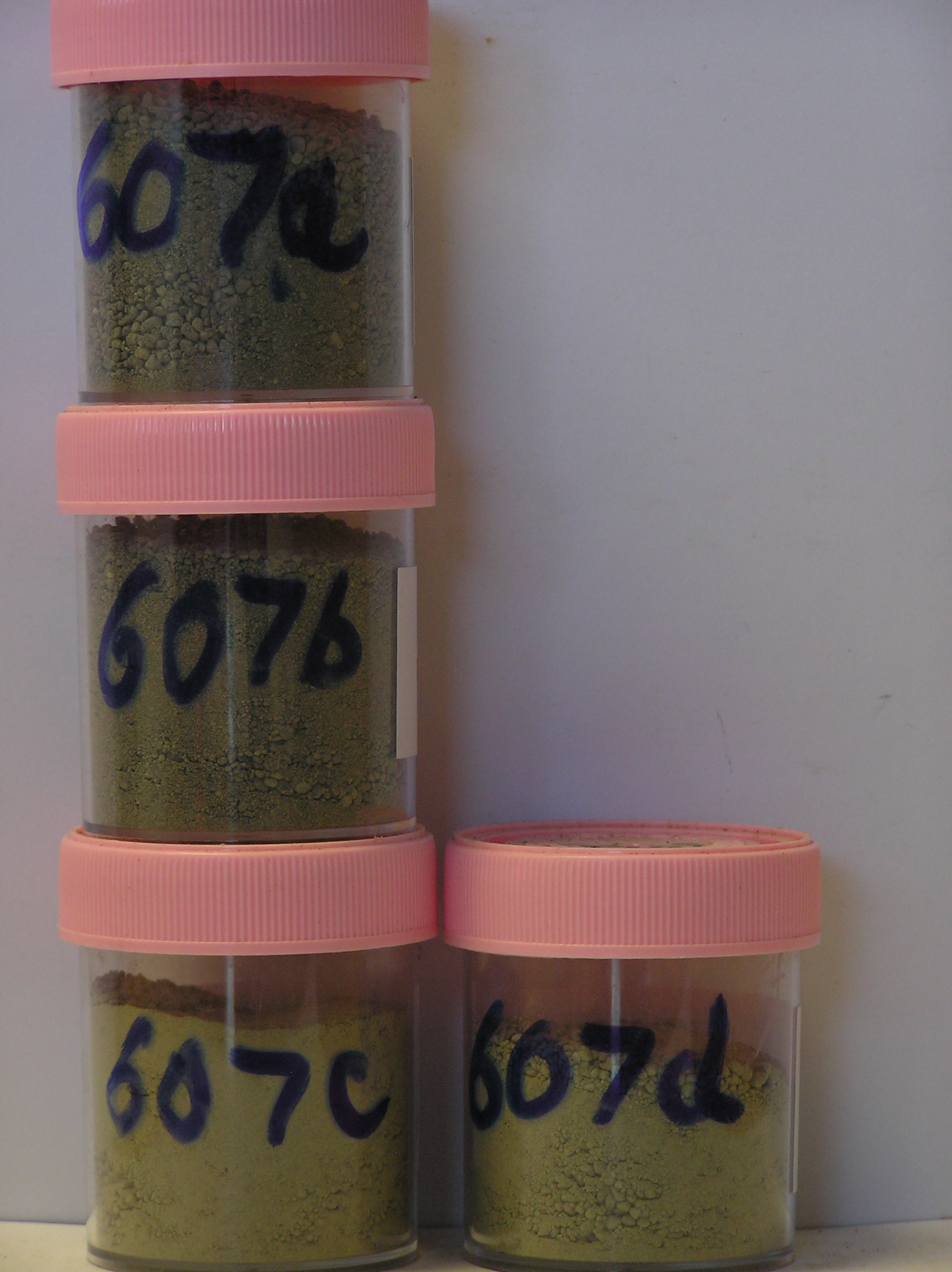
607a 0-5cm
101
greyish brown (2.5Y 5/2) cobbly sandy scoria gravel
102
loose
103
rock particles subrounded and unstained
104
indistinct boundary,
607b 5-10cm
201
greyish brown (2.5Y 5/2) cobbly sandy scoria gravel
202
weakly cohesive
203
moist
204
smaller rock particles subrounded
205
indistinct boundary,
607c 10-15cm
301
light brownish grey (2.5Y 6/2) cobbly sandy scoria gravel
302
moderately cohesive
303
moist
304
smaller rock particles subrounded
305
indistinct boundary,
607d 15-20cm
401
light brownish grey (2.5Y 6/2) cobbly sandy scoria gravel
402
moderately cohesive
403
moist
404
smaller rock particles subrounded
405
sharp boundary, on ice-cemented ground
Yes
a,b,c,d
Hard ice-cemented
20
1
(20cm)
Descr
| Approximately 350m northwest of the western end of Scott Base in the floor of a shallow gully, 20m NW of site 587 and 3-4m lower in altitude; about 50m |
| north of the Scott Base to McMurdo Station; at this site, 4 contiguous 1m X 1m plots were set out and 3 irrigated with LiCl, the 4th (northernmost) with H2O; |
| this sampling was from 1m down slope from the first application plot |
Geoland
| Rocks are predominantly scoria flows of the McMurdo Volcanics; Last Glaciation Ross 1 ice covered the site and traces of rocks (sandstone and granite granules |
| and small pebbles) probably from the Royal Society Range can be found; the drift mantle is thin and patchy with bedrock a little below the surface |
| Soluble Salt |
| Concentration |
60700001
607a
0-5cm
0
5
48.00
3.20
none
60700002
607b
5-10cm
5
10
52.00
4.60
none
60700003
607c
10-15cm
10
15
41.00
7.30
none
60700004
607d
15-20cm
15
20
50.00
7.20
none
60700001
60700002
60700003
60700004
60700001
60700002
60700003
60700004
60700001
lithium plots
60700002
see Claridge et al
60700003
perm. perigl. proc (10) 223-233
60700004
12-Dec-2005
Page 565 of 896
607