Ross Sea Region Soil Sites
672000
672
20-Dec-1992
IBC, GGC
Pram Point near Scott Base
LiCl soil leaching experiment
not recorded
CS Site photo
No
166.7500
-75.8333
75deg 50.0'S
-166deg -45.0'E
| a gently sloping facet of a broad ridge surface formed as a result of volcanic flow debris, situated about 250m upslope and to the NW of Scott Base; this site is at the centre of |
| one of the control plots which had water only added in 1989/90 |
2
SE
100
cf. Notes for GEOLAND below
(2o)
3
16.0
12
3.6
26
0.5
30
-1.3
| xerous to subxerous; the site receives annual snowfall much of which blows away or ablates; |
| summer snowfalls may moisten the upper few cm of the soil |
-18
coastal mountain
predominantly fragmented basaltic scoria, probably with minor inclusions of glaciogenic detritus
nil on the plot but some small 1/2 cm lichen patches nearby
weakly developed
| SURFACE WEATHERING or |
| SURFACE FEATURES |
non to weakly developed
| the site is in an area which is subject to relatively high human impact from walking, cable laying etc; there have been previous disturbances at the sample |
| locality from establishing the leaching trial and subsequent samplings from adjacent plots |
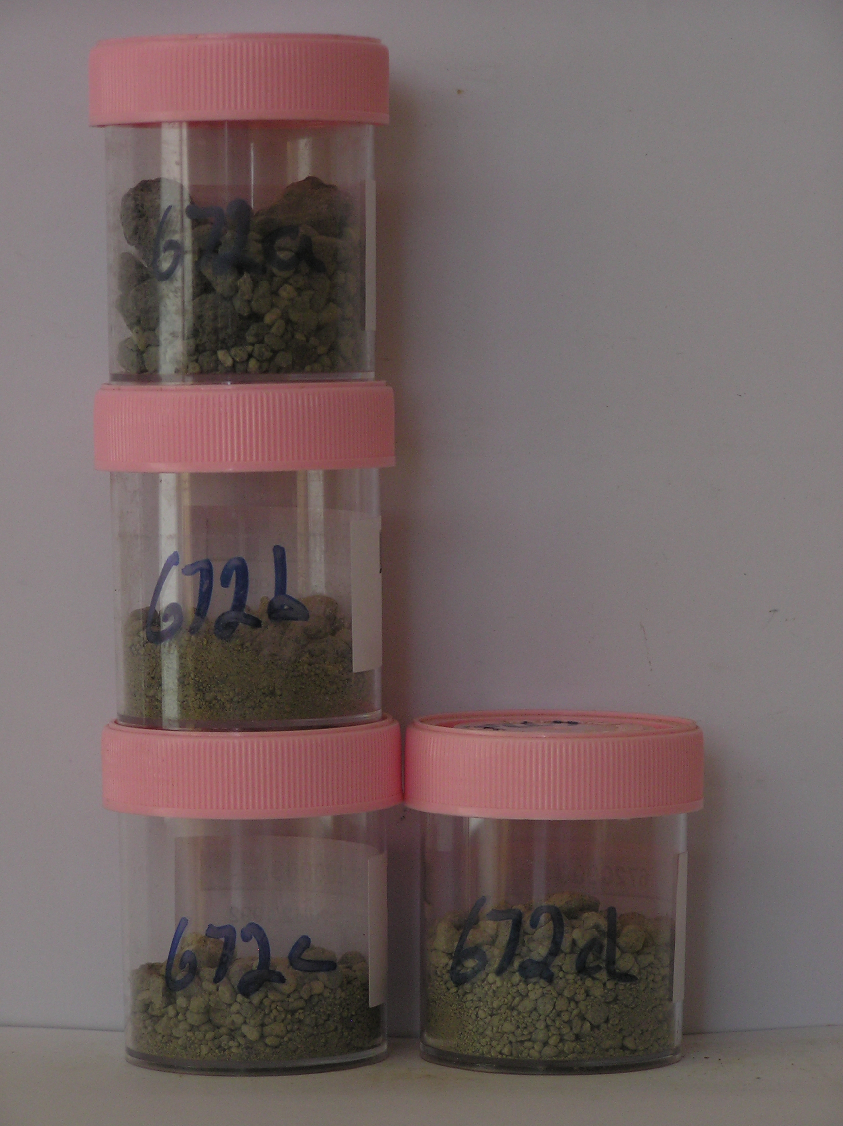
672a 2-0cm
101
surface pavement of basalt pebbles, cobbles and boulders with some small granitic pebbles and granules
102
loose
103
subrounded to subangular
104
unweathered,
672b 0-7cm
201
light olive grey (5Y 6/2) granular pebbly gravel
202
loose to weakly cohesive with weak vesicular structure and a distinct surface crust
203
rock particles subrounded to subangular and unweathered
204
distinct boundary,
672c 7-18cm
301
light olive grey to grey to dark grey (5Y 6/2-6/1) bouldery granular pebble gravel
302
loose to weakly cohesive and moist
303
rock particles mainly subangular and unweathered
304
distinct boundary,
672d 18-28cm
401
light olive grey to grey to dark grey (5Y 6/2- 6/1) granular pebble gravel
402
moist and cohesive
403
rock particles subrounded to subangular and unweathered
404
sharp boundary, on
405
hard frozen ground.
yes
a,b,c,d
hard ice-cemented
28
1
Geoland
| the deposit comprises old scoria flows of the McMurdo Volcanics with the surface rock being fragmented mainly into cobble and boulder sized clasts; |
| commonly found are small rounded pebbles of granitic and sedimentary rocks and these are probably derived from the mainland, having been transported by the |
| former expanded Ross Sea Glacier, and deposited as it retreated from Ross Island |
| Soluble Salt |
| Concentration |
67200001
672a
2-0cm
-2
0
4.70
none
67200002
672b
0-7cm
0
7
2.10
none
67200003
672c
7-18cm
7
18
2.80
none
67200004
672d
18-28cm
18
28
3.80
none
67200001
4.70
67200002
2.10
67200003
2.80
67200004
3.80
67200001
67200002
67200003
67200004
67200001
67200002
67200003
67200004
12-Dec-2005
Page 630 of 896
672