Ross Sea Region Soil Sites
673000
673
23-Dec-1992
IBC, GGC
Vanda Station, Wright Valley at the eastern end of Lake Vanda
| assessment of environmental impacts from past human activities at Vanda Station; determination of nature of |
| contaminants and the depth of contamination |
not recorded
CS Pro & Site
No
166.7500
-75.8333
75deg 50.0'S
-166deg -45.0'E
| on the lower slope of a shallow elongated gully, 60m ESE of the main Vanda Station building; the site is 8.5m below and down slope from a greywater disposal point and .5m |
| above the lowest point of the gully |
4
ESE
93
cf. Notes for GEOLAND below
(4o)
| xerous; soil surface very occasionally moistened by summer snowfall; the site has received |
| some runoff in the past from discharge of Vanda Station greywaters |
-20
central mountain
fragmented granodiorite bedrock with a fine fraction of dominantly aeolian/fluvially sorted sandy material; in part contaminated by anthropogenic action (greywater discharges)
nil
nil
| SURFACE WEATHERING or |
| SURFACE FEATURES |
a lower slope at a site of disposal of domestic waste waters
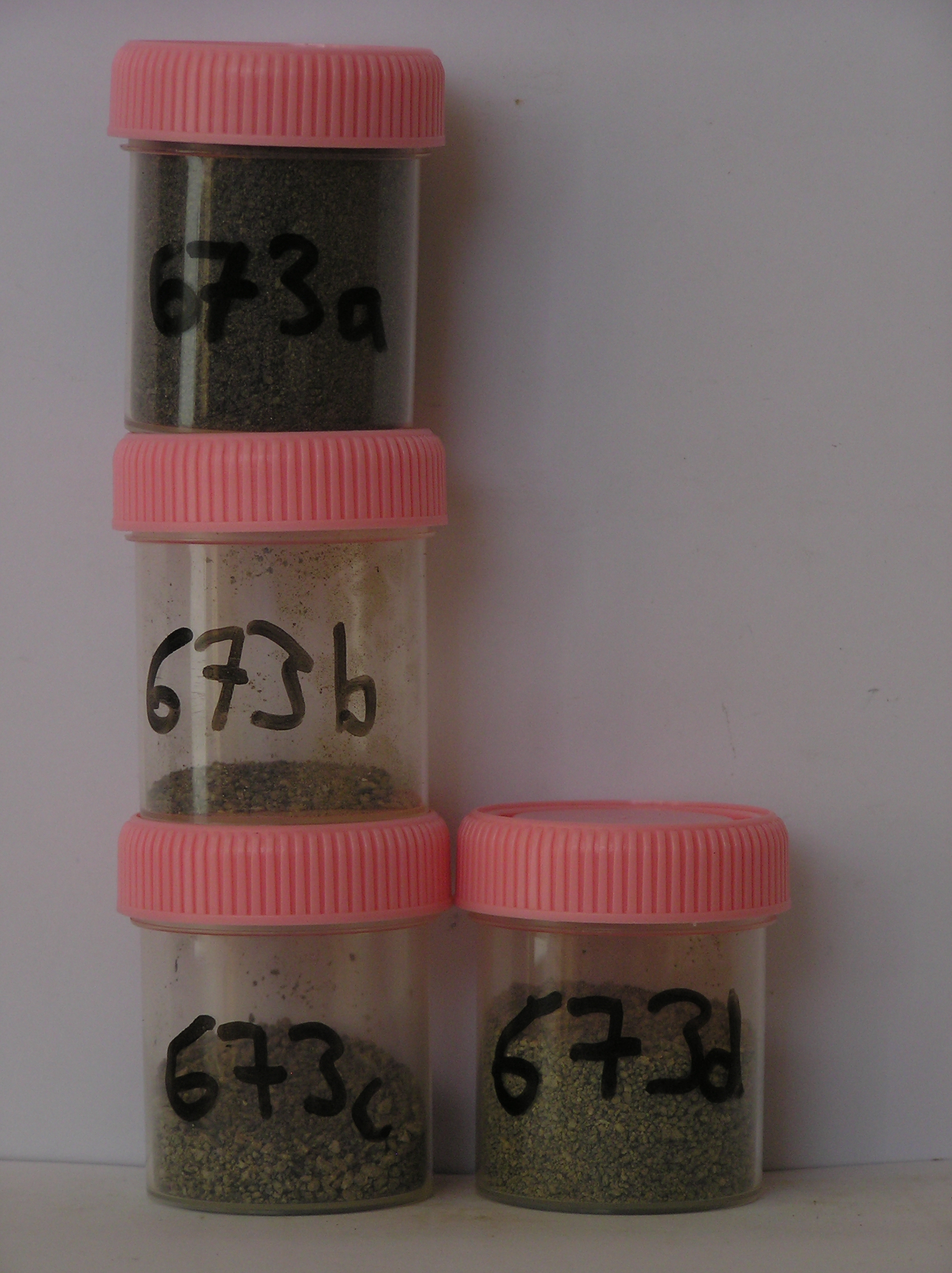
673a 0-3cm
101
dark greyish brown (10YR 4/2) organic stained sandy pebble gravel
102
moderately cohesive with a distinct surface crust
103
distinct boundary,
673b 3-10cm
201
pale brown (10YR 6/3) sandy pebbly gravel formed from in situ crumbled granodiorite bedrock
202
moderately cohesive
203
indistinct boundary,
673c 10-25cm
301
pale olive (5Y 6/3) pebble gravel formed from disaggregating bedrock
302
distinct boundary,
673d 25-50cm
401
firm partly fractured bedrock with pale brown (5Y 6/3) loose sand infilling between fragmented bouldery clasts.
yes
a,b,c,d
dry frozen
35
1
(~35cm)
Geoland
| the rocks of the area are granodiorites that have been cut with lamprophyre dykes and form a strongly undulating ridge and gully topography as a result of ice |
| over riding from down-valley and up-valley glaciations and to a lesser extent, subaerial weathering; cryogenic weathering, probably assisted by repeated past |
| rises and falls of waters in Lake Vanda, has generally given rise to a heavily fractured upper bedrock surface with common angular platy boulders; sands, |
| derived partly from sorted lake sediments and also from aerial erosion fill most of the rock fracture interstices |
| Soluble Salt |
| Concentration |
67300001
673a
0-3cm
0
3
none
67300002
673b
3-10cm
3
10
none
67300003
673c
10-25cm
10
25
none
67300004
673d
25-50cm
25
50
none
67300002
6.00
1.30
67300003
11.00
5.20
67300004
56.00
22.70
67300001
49.00
2.50
67300002
7.60
0.18
0.47
0.10
0.06
0.14
0.16
0.14
0.00
67300003
7.60
0.14
0.26
0.07
0.06
0.11
0.07
0.09
0.03
67300004
7.60
0.13
0.22
0.06
0.03
0.09
0.06
0.21
0.04
67300001
6.90
0.19
0.51
0.11
0.04
0.12
0.19
0.01
0.00
67300002
67300003
67300004
67300001
12-Dec-2005
Page 631 of 896
673