Ross Sea Region Soil Sites
677000
677
23-Dec-1992
IBC, GGC
Vanda Station, Wright Valley at the eastern end of Lake Vanda
| assessment of environmental impacts from past human activities at Vanda Station; a site which has probably |
| undergone little disturbance and was sampled for comparison with obviously disturbed sites |
not recorded
No
166.7500
-75.8333
75deg 50.0'S
-166deg -45.0'E
approximately 75m S of the main Vanda Station building on the western side of a sloping gully and approximately 5m away from soil site 676; on a lamprophyre dyke
10
SE
94
cf. Notes for GEOLAND below
(10o)
xerous; the soil surface is occasionally moistened by summer snowfall
-20
central mountain
strongly fragmented, dark coloured mainly cobbly lamprophyre dyke rock with a matrix of quartzofeldspathic wind-blown sand
| SURFACE WEATHERING or |
| SURFACE FEATURES |
a pavement of hard unstained lamprophyre rocks, in part wind abraded with some ventiforms
no evidence of direct disposal of wastes but the site has been disturbed by vehicle trafficking and other human activities
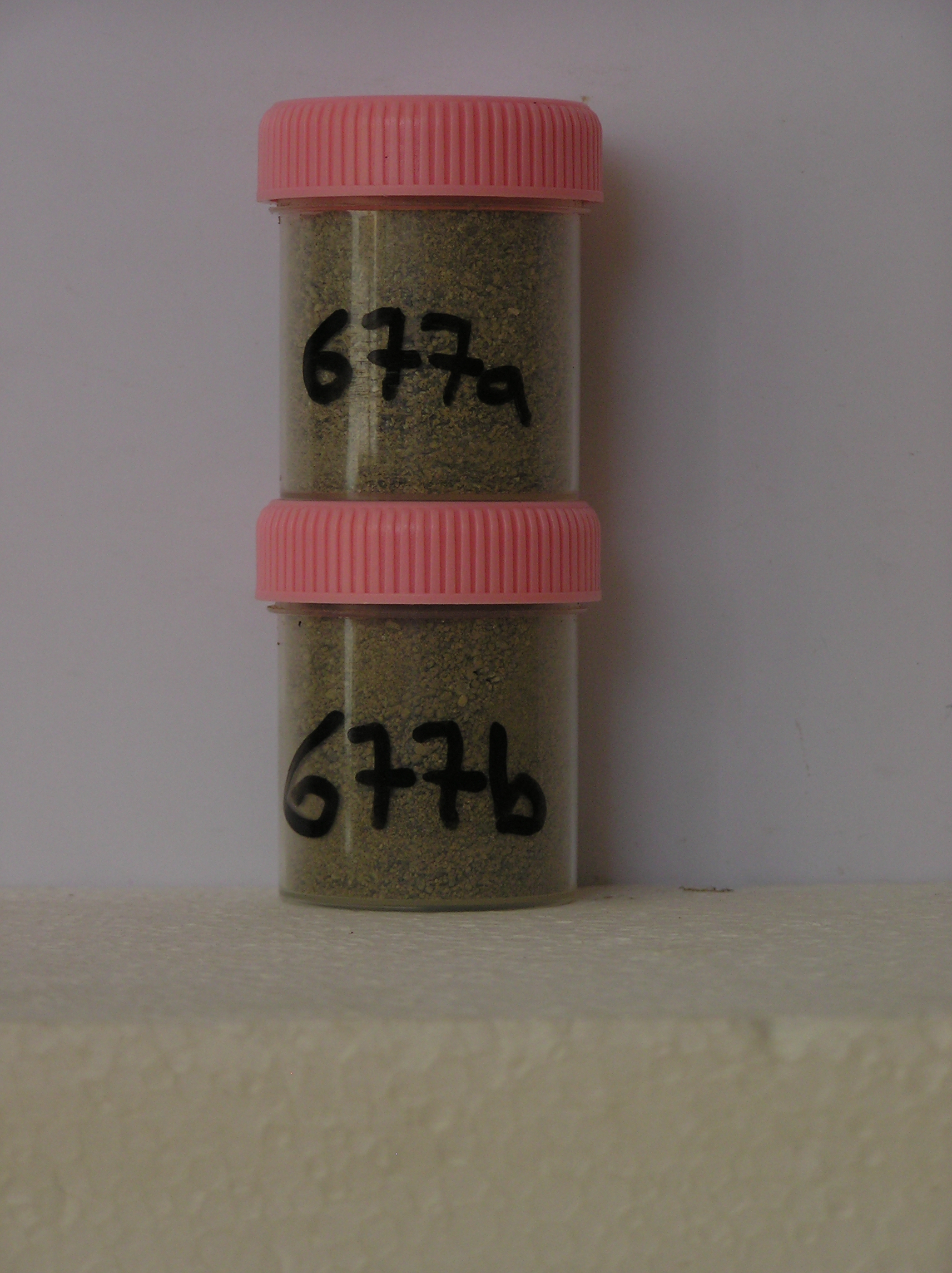
677a 0-10cm
101
olive brown (2.5Y 4/4) sandy pebble and cobble gravel
102
loose
103
some orgaanic material, possibly dried algae
104
indistinct boundary,
677b 10-20cm
201
olive brown (2.5Y 4/4) cobble gravel with sand (< 20%) in cracks between disaggregated rock
yes
a,b
dry frozen
35
1
(~35cm)
Geoland
| the rocks of the area are granodiorites that have been cut with lamprophyre dykes and form a strongly undulating ridge and gully topography as a result of ice |
| over riding from down-valley and up-valley glaciations and to a lesser extent, subaerial weathering; at this site, strongly fragmented lamprophyre dyke rock |
| outcrops |
| Soluble Salt |
| Concentration |
67700001
677a
0-10cm
0
10
none
67700002
677b
10-20cm
10
20
none
67700001
68.00
0.40
67700002
30.00
0.90
67700001
8.50
0.25
0.29
0.61
0.15
0.06
0.24
0.64
0.01
67700002
7.70
0.94
0.96
2.44
0.08
0.13
2.30
1.04
0.09
67700001
67700002
12-Dec-2005
Page 635 of 896
677