Ross Sea Region Soil Sites
678000
678
24-Dec-1992
IBC, GGC
Vanda Station, Wright Valley at the eastern end of Lake Vanda
| assessment of environmental impacts from past human activities at Vanda Station; sampled for indications of |
| heavy metal contamination at a location where battery acid may have been discarded |
not recorded
CS Pro
No
166.7500
-75.8333
75deg 50.0'S
-166deg -45.0'E
1.6m east of the Vanda Station generator building and .5m to the north of the doorway to the building
5
N
96
cf. Notes for GEOLAND below
(5o)
xerous; the soil surface is occasionally moistened by summer snowfall
-20
central mountain
fractured, flaggy and in situ, granodiorite with accumulations of granular sand in the cracks between the angular, fragmented boulder sized clasts
| SURFACE WEATHERING or |
| SURFACE FEATURES |
surface materials are angular and unstained
| the surface has been heavily disturbed by base activities and was reported to have been a site where battery acids were discarded; there is some indication of |
| previous oil spillag |
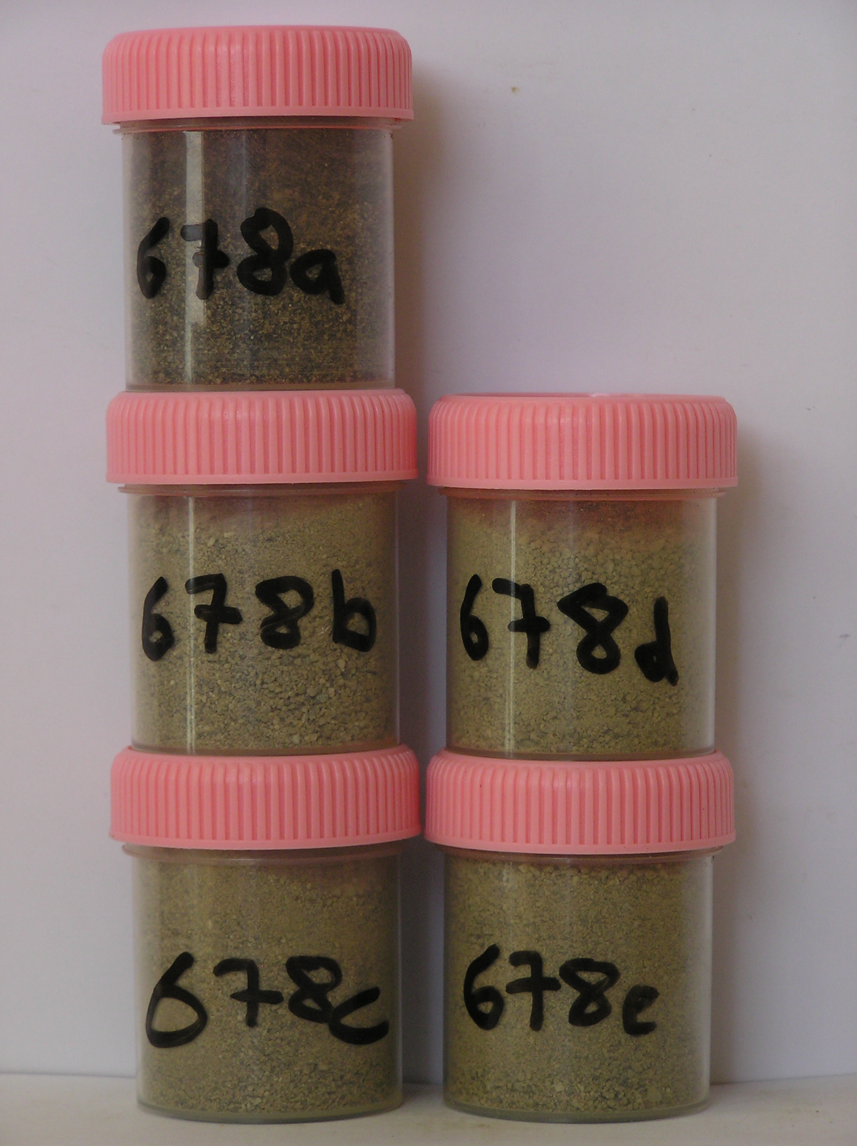
678a 0-3cm
101
oil stained? brown (10YR 5/3) sandy pebble gravel
102
moderately cohesive
103
rock particles angular and unweathered
104
sharp boundary,
678b 3-15cm
201
fractured bedrock,
678c 15-20cm
301
pale brown (10YR 6/3) sand as infilling between fractured bedrock clasts
302
bedrock boulders tabular, angular and unstained loose
303
distinct boundary,
678d 20-24cm
401
pale brown (10YR 6/3) sand as infilling between fractured bedrock clasts
402
moderately cohesive
403
bedrock boulders tabular, angular and unstained,
678e
501
on fragmented bedrock with pale brown (10YR 6/3) loose sand, infilling vertical and horizontal fissures.
yes
a,b,c,d,e
dry frozen
35
1
(~35cm)
Geoland
| the rocks of the area are granodiorites that have been cut with lamprophyre dykes and form a strongly undulating ridge and gully topography as a result of ice |
| over riding from down-valley and up-valley glaciations and to a lesser extent, subaerial weathering; at this site, the rock is fractured granodiorite; subsequent to |
| glaciation, the terrain has been subjected to drowning and emergence from fluctuating water levels from Lake Vanda with some sorting or resorting of surficial |
| materials |
| Soluble Salt |
| Concentration |
67800001
678a
0-3cm
0
3
none
67800001
66.00
0.80
67800001
59.00
0.30
67800002
78.00
0.60
67800003
64.00
0.60
67800004
93.00
1.00
67800001
7.60
0.40
0.54
0.72
0.30
0.10
1.06
0.36
0.01
67800001
6.90
0.30
0.48
0.45
0.21
0.07
0.52
0.53
0.01
67800002
7.50
0.60
0.57
1.57
0.52
0.12
1.06
1.35
0.01
67800003
7.60
0.40
0.86
0.75
0.32
0.12
0.90
0.48
0.01
67800004
7.70
0.22
0.39
0.27
0.13
0.11
0.48
0.07
0.00
67800001
67800001
67800002
67800003
67800004
12-Dec-2005
Page 636 of 896
678