Ross Sea Region Soil Sites
683000
683
24-Dec-1992
IBC, GGC
Vanda Station, Wright Valley at the eastern end of Lake Vanda
| assessment of environmental impacts from past human activities at Vanda Station; sampled for indications of |
| fuel contamination in the soils at a fuel storage site |
not recorded
No
166.7500
-75.8333
75deg 50.0'S
-166deg -45.0'E
22m east southeast of the Vanda Station Mess building alongside a fuel drum storage site on a gently sloping surface
5
S
94
cf. Notes for GEOLAND below
(5o)
xerous; the soil surface is occasionally moistened by summer snowfall
-20
central mountain
a thin veneer of fragmental granodiorite over fractured bedrock
| SURFACE WEATHERING or |
| SURFACE FEATURES |
surface materials are mainly angular and unstained and are formed from fragmentation of the underlying bedrock
the surface has been heavily disturbed by base activities; contamination from fuel spillages has occurred
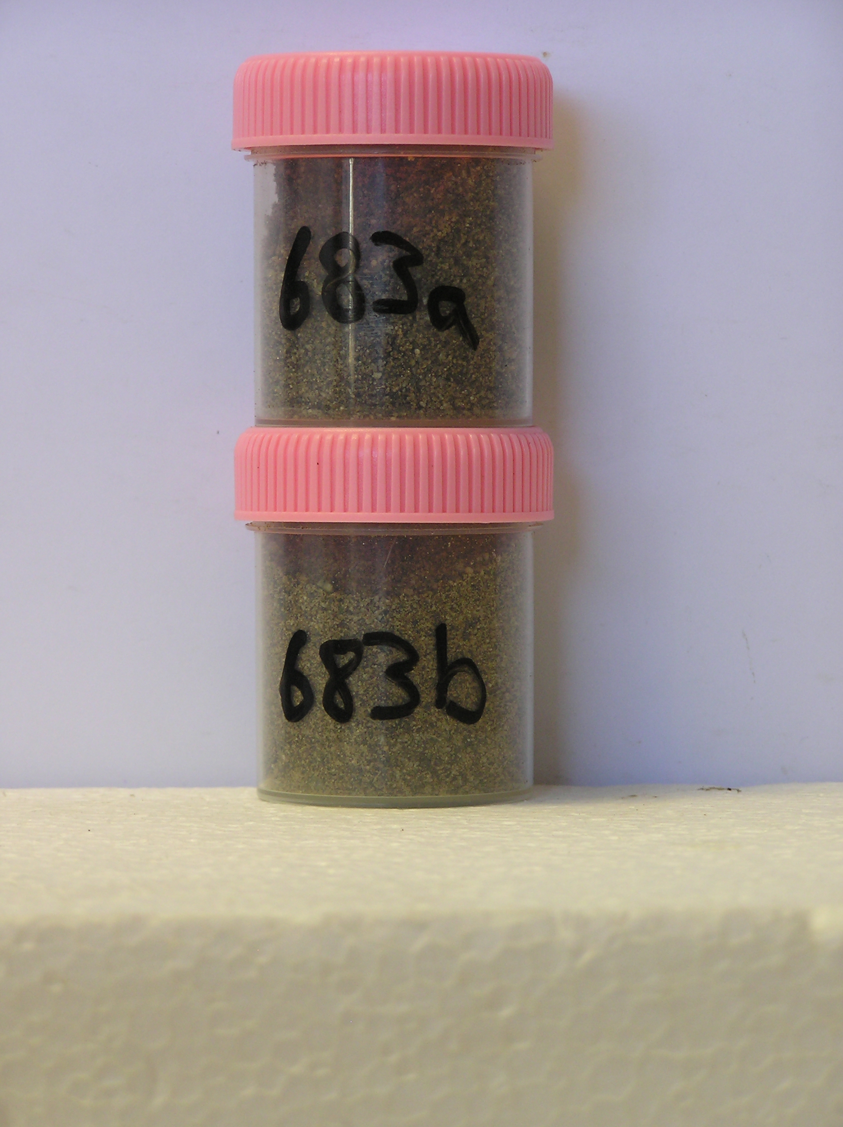
683a 0-5cm
101
brown (10YR 5/3 fuel stained) pebbly to bouldery sand
102
weakly cohesive
103
rock particles unweathered and angular
104
indistinct boundary,
683b 5-10cm
201
brown (10YR 5/3 fuel stained) pebbly to bouldery sand
202
rock particles tabular, interlocked and unweathered
203
sharp boundary, smooth bedrock surface with a sticky fuel coating.
yes
a,b
dry frozen
35
1
(~35)
Geoland
| the rocks of the area are granodiorites that have been cut with lamprophyre dykes and form a strongly undulating ridge and gully topography as a result of ice |
| over riding from down-valley and up-valley glaciations and to a lesser extent, subaerial weathering; at this site, the rock is fractured granodiorite; subsequent to |
| glaciation, the terrain has been subjected to drowning and emergence from fluctuating lake levels from Lake Vanda with some sorting or resorting of surficial |
| materials |
| Soluble Salt |
| Concentration |
68300001
683a
0-5cm
0
5
none
68300002
683b
5-10cm
5
10
none
68300001
83.00
2.00
68300002
69.00
1.20
68300001
6.00
0.28
0.45
0.42
0.21
0.06
0.38
0.45
0.02
68300002
8.70
0.38
0.84
1.00
0.17
0.06
0.28
1.27
0.03
68300001
68300002
12-Dec-2005
Page 641 of 896
683