Ross Sea Region Soil Sites
685000
685
26-Dec-1992
IBC, GGC
Vanda Station, Wright Valley at the eastern end of Lake Vanda
| assessment of environmental impacts from past human activities at Vanda Station; sampled for indications of |
| contaminations from greywater at a greywater disposal site |
not recorded
CS Pro
No
161.6690
-77.5275
77deg 31.6'S
-161deg -40.1'E
22m southeast of the Vanda Station Mess building on sloping site forming part of the upper side slope of an elongated gully; a greywater disposal site
10
SE
94
cf. Notes for GEOLAND below
(10o)
| xerous; the soil surface is occasionally moistened by summer snowfall; there is some moisture |
| present below 17cm in the soil; this may be residual greywater |
-20
central mountain
fractured granodiorite and lamprophyre dyke rock and windblown sand
| SURFACE WEATHERING or |
| SURFACE FEATURES |
surface rocks are angular and unstained and between them there is much loose windblown sand
the surface has been heavily disturbed by base activities; this site has been a disposal area for greywater
4-0cm
101
pavement of flat angular boulders and loose sand
102
distinct boundary,
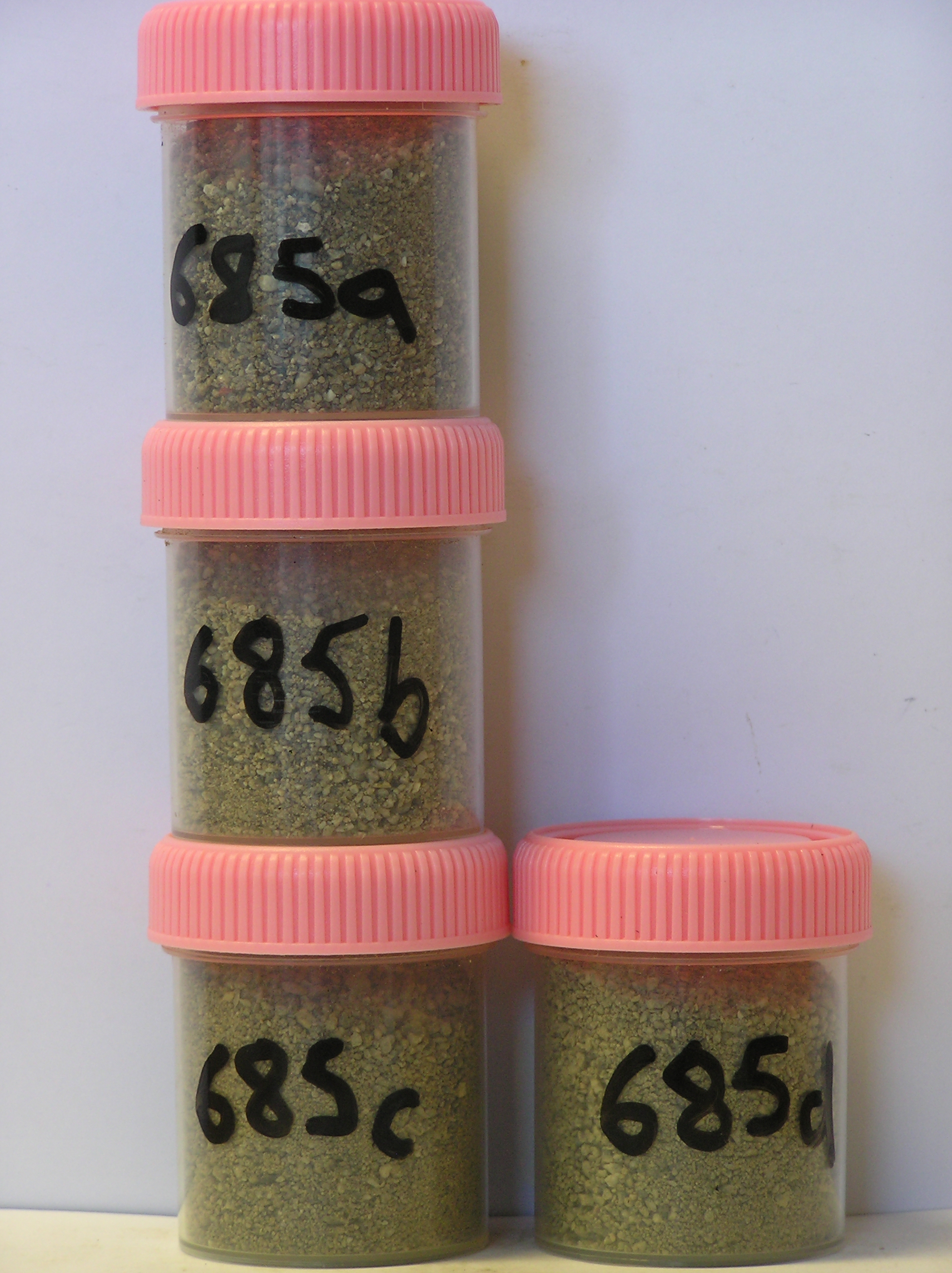
685a 0-7cm
201
dark greyish brown (10YR 4/2) pebbly to bouldery sand
202
weakly to moderately cohesive
203
many foreign particles and fibres and a slight odour
204
rock particles angular and unweathered
205
distinct boundary,
685b 7-17cm
301
pale brown (10YR 6/3) bouldery gravelly sand
302
weakly cohesive
303
rock particles angular and unweathered
304
distinct boundary,
685c 17-38cm
401
pale brown (10YR 6/3) bouldery gravelly sand
402
weakly cohesive and slightly moist
403
rock particles angular and partly interlocked
404
distinct boundary,
685d 38-48cm
501
| light brownish grey to light yellowish brown (2.5Y 6/2-6/4) cobbly to pebbly fragmented granodiorite bedrock |
| with 10% sand in fissures |
502
slightly moist disstinct boundary, on firm granodiorite.
yes
a,b,c,d,e
dry frozen
35
1
(~35)
Geoland
| the rocks of the area are granodiorites that have been cut with lamprophyre dykes and form a strongly undulating ridge and gully topography as a result of ice |
| over riding from down-valley and up-valley glaciations and to a lesser extent, subaerial weathering; this site is just below a lamprophyre dyke with the rock |
| being intensively fractured into angular medium (60cm) boulders; subsequent to glaciation, the terrain has been subjected to drowning and emergence from |
| fluctuating lake levels from Lake Vanda with some sorting or resorting of surficial materials |
| Soluble Salt |
| Concentration |
68500001
685
4-0cm
-4
0
none
68500002
685a
0-7cm
0
7
0.10
none
68500003
685b
7-17cm
7
17
0.50
none
68500004
685c
17-38cm
17
38
2.60
none
68500005
685d
38-48cm
38
48
2.30
none
68500001
62.00
0.40
68500002
70.00
0.40
68500003
78.00
2.50
68500004
25.00
3.60
68500001
7.10
0.18
0.47
0.10
0.04
0.10
0.15
0.19
0.00
68500002
7.90
0.10
0.25
0.05
0.01
0.05
0.03
0.11
0.00
68500003
8.40
0.10
0.33
0.05
0.04
0.05
0.02
0.10
0.00
68500004
8.70
0.10
0.27
0.08
0.08
0.08
0.05
0.13
0.00
68500001
68500002
68500003
68500004
12-Dec-2005
Page 643 of 896
685