Ross Sea Region Soil Sites
687000
687
26-Dec-1992
IBC, GGC
Vanda Station, Wright Valley at the eastern end of Lake Vanda
| assessment of environmental impacts from past human activities at Vanda Station; sampled for indications of |
| contamination by seepages from greywater disposal and from other domestic wastes |
not recorded
CS Pro
No
161.6670
-77.5287
77deg 31.7'S
-161deg -40.0'E
40m east of southeast of the Vanda Station Mess building on the floor of an elongated gully, 31m to the southwest of the met screen track
0
92
cf. Notes for GEOLAND below
wet with running and foaming water at the base of the hole
-20
central mountain
pebbly to granular sand over granodiorite bedrock
| SURFACE WEATHERING or |
| SURFACE FEATURES |
a loose granular to pebble pavement with occasional cobbles and boulders
| heavy site disturbance from base activities; the site has received seepages from greywater disposal; a site where paint has been disposed off and other |
| domestic waste nearby |
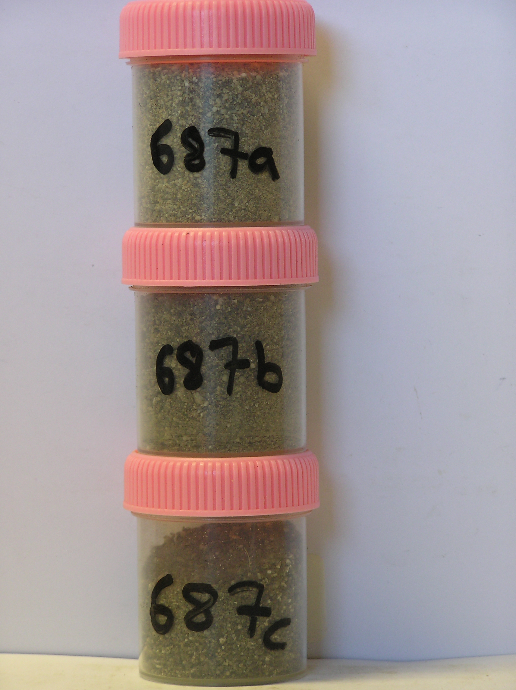
687a 0-4cm
101
pale olive (5Y 6/3) granular pebbly sand
102
loose to weakly cohesive and slightly moist
103
rock particles angular and unweathered
104
distinct boundary,
687b 4-20cm
201
greyish brown (10YR 5/2) granular sand
202
moderately cohesive
203
distinct boundary,
687c 20-35cm
301
olive grey (5Y 5/2) pebbly granular sand
302
loose
303
foreign material present includes paint and fat?
304
sharp boundary, on firm granodiorite.
yes
a,b,c
35
1
(~35)
Geoland
| the rocks of the area are granodiorites that have been cut with lamprophyre dykes and form a strongly undulating ridge and gully topography as a result of ice |
| over riding from down-valley and up-valley glaciations and to a lesser extent, subaerial weathering; subsequent to glaciation, the terrain has been subjected to |
| drowning and emergence from fluctuating lake levels from Lake Vanda with some sorting or resorting of surficial materials; bedrock is at shallow depth on the |
| gully floor |
| Soluble Salt |
| Concentration |
68700001
687a
0-4cm
0
4
none
68700003
64.00
18.40
68700002
69.00
16.70
68700001
81.00
6.00
68700003
5.60
0.46
0.57
0.99
0.51
0.11
0.82
0.23
0.00
68700002
6.80
0.49
0.75
0.66
0.39
0.15
1.02
0.40
68700001
7.90
0.60
0.92
0.90
0.50
0.13
1.45
0.69
0.01
68700003
68700002
68700001
12-Dec-2005
Page 645 of 896
687