Ross Sea Region Soil Sites
692000
692
28-Dec-1992
IBC, GGC
Vanda Station, Wright Valley at the eastern end of Lake Vanda
| assessment of environmental impacts from past human activities at Vanda Station; sampled to determine the |
| extent of urine contamination in soils around Vanda Station |
not recorded
CS Pro
No
161.6690
-77.5267
77deg 31.6'S
-161deg -40.1'E
10m directly opposite and to the northwest of the Vanda Station Mess hut; on the upper part of the sloping surface between the hut and Lake Vanda below
10
NW
93
cf. Notes for GEOLAND below
(10o)
| xerous; the soil surface is occasionally moistened by summer snowfall; a human waste |
| disposal site |
-20
central mountain
fractured granodiorite partly covered and infiltrated with aeolian sand; a wide range of foreign material is present (fibres, pine needles, asbestos, metals, vermiculite, wood fragments etc.)
| SURFACE WEATHERING or |
| SURFACE FEATURES |
surface cover is angular granodiorite boulders and loose sand
heavily disturbed from waste disposal and domestic and construction activities
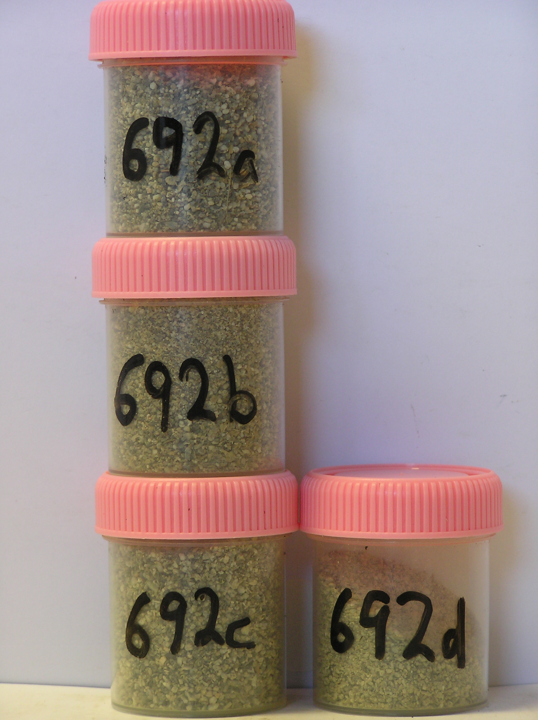
692a 0-4cm
101
light yellowish brown (10YR 6/4-2.5Y 6/4) bouldery sand
102
loose
103
fibres and foreign materials
104
rock particles angular and unstained
105
distinct boundary,
692b 5-10cm
201
pale brown (10YR 6/3) bouldery sandy gravel
202
loose
203
some fibres and foreign material
204
rock particles subangular and unstained
205
distinct boundary,
692c 10-23cm
301
pale brown to very pale brown (10YR 7/3) bouldery sand
302
weakly cohesive with weakly developed vesicular structure
303
rock particles angular and unstained
304
indistinct boundary,
692d 23-35cm
401
pale brown (10YR 6/3) sand infilling fissures between fractured granodiorite boulders and cobbles
402
indistinct boundary,
692e 35-45cm
501
pale brown (10YR 6/3) bouldery sandy gravel
502
firmly cohesive and slightly moist, thawing on exposure to the sun.
yes
a,b,c,d
ice cemented
35
1
Geoland
| the rocks of the area are granodiorites that have been cut with lamprophyre dykes and form a strongly undulating ridge and gully topography as a result of ice |
| over riding from down-valley and up-valley glaciations and to a lesser extent, subaerial weathering; subsequent to glaciation, the terrain has been subjected to |
| drowning and emergence from fluctuating lake levels from Lake Vanda with some sorting or resorting of surficial materials |
| Soluble Salt |
| Concentration |
69200001
692a
0-4cm
0
4
none
69200001
66.00
0.30
69200002
77.00
0.30
69200003
48.00
0.40
69200004
37.00
6.00
69200001
7.90
0.44
0.51
0.86
0.31
0.06
0.96
0.53
0.09
69200002
8.40
0.70
0.80
1.25
0.40
0.11
1.48
0.93
0.11
69200003
8.10
0.17
0.18
0.25
0.10
0.06
0.32
0.16
0.02
69200004
8.80
0.12
0.16
0.18
0.07
0.06
0.27
0.07
0.02
69200001
69200002
69200003
69200004
12-Dec-2005
Page 650 of 896
692