Ross Sea Region Soil Sites
695000
695
28-Dec-1992
IBC, GGC
Vanda Station, Wright Valley at the eastern end of Lake Vanda
| assessment of environmental impacts from past human activities at Vanda Station; sampled to give |
| indications of urine contamination near the lab hut building |
not recorded
CS Pro
No
161.6710
-77.5272
77deg 31.6'S
-161deg -40.3'E
on the northeast side of the lab hut building and 2m from the building, at the centre line of the building
0
94
cf. Notes for GEOLAND below
xerous; the soil surface is occasionally moistened by summer snowfall
-20
coastal mountain
shallow fragmented granodiorite with sand filling fractured rock interstices
| SURFACE WEATHERING or |
| SURFACE FEATURES |
surface cover is angular granodiorite pebbles, cobbles and boulders and loose sand
the ground surface has been disturbed by foot traffic and general base activities; this location is a probable urine disposal site
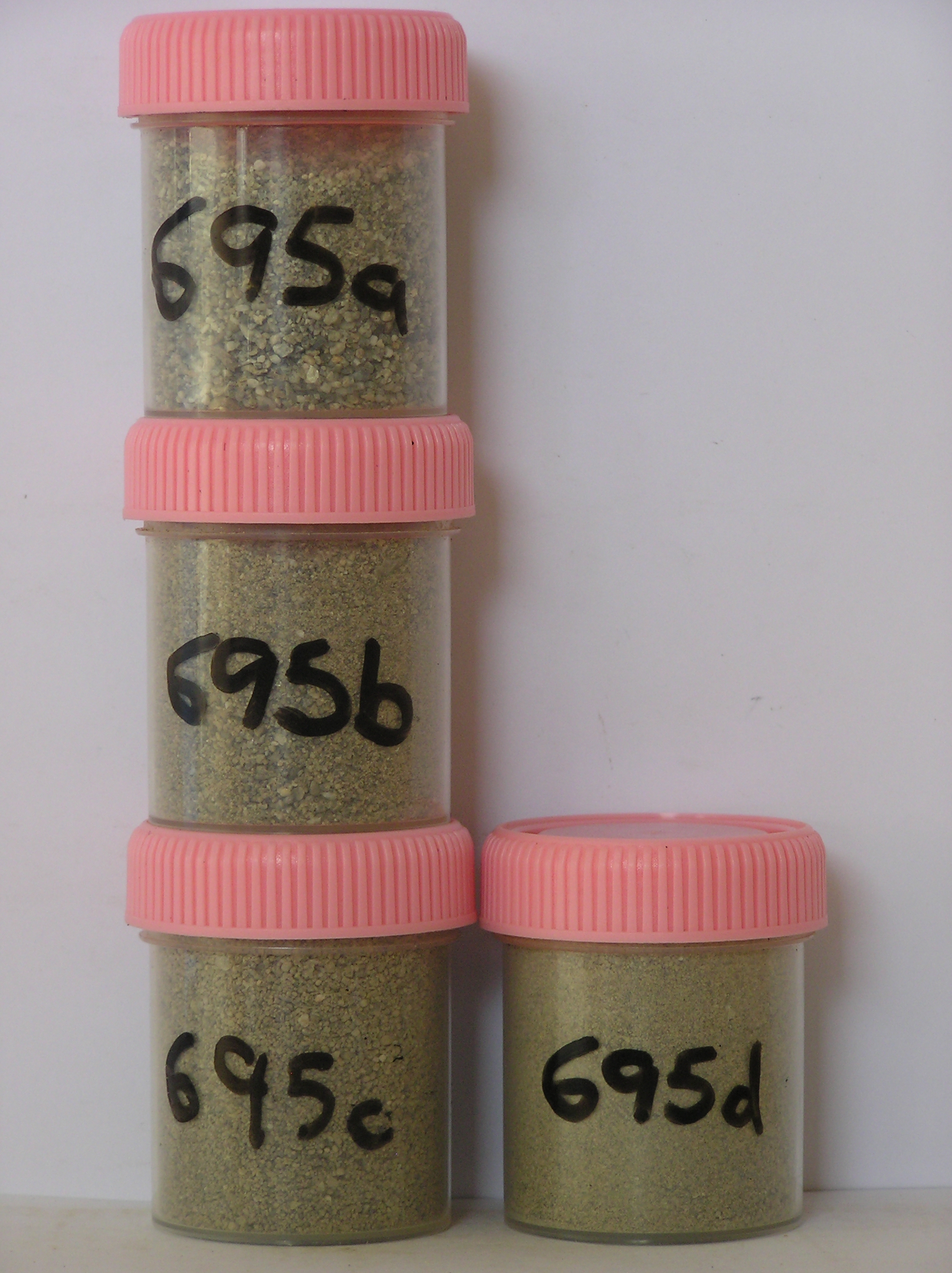
695a 0-2cm
101
pale brown (10YR 6/3) bouldery to pebbly sandy gravel
102
loose
103
rock particles angular and unweathered
104
distinct boundary,
695b 2-10cm
201
| pale brown to brown ( 10YR 6/3-5/3) pebbly sand infilling fissures of a skeleton of fractured bedrock cobbles |
| and boulders |
202
sand is weakly cohesive from precipitated foreign material
203
soil has a moderately distinct odour of ammonia
204
rock particles angular, platy and unweathered
205
indistinct boundary,
695c 10-25cm
301
pale brown (10YR 6/3) sand (<15%) infilling cracks between fractured bedrock boulders
302
sand is moderately cohesive
303
rock particles are angular and unweathered,
695d 25-50cm
401
pale brown (10YR 6/3) sand (<5%) infilling cracks between fractured bedrock boulders.
yes
a,b,c,d
dry frozen
35
1
(~35)
Geoland
| the rocks of the area are granodiorites that have been cut with lamprophyre dykes and form a strongly undulating ridge and gully topography as a result of ice |
| over riding from down-valley and up-valley glaciations and to a lesser extent, subaerial weathering; subsequent to glaciation, the terrain has been subjected to |
| drowning and emergence from fluctuating lake levels from Lake Vanda with some sorting or resorting of surficial materials |
| Soluble Salt |
| Concentration |
69500001
695a
0-2cm
0
2
none
69500002
695b
2-10cm
2
10
none
69500003
695c
10-25cm
10
25
none
69500004
695d
25-50cm
25
50
none
69500001
50.00
0.30
69500002
67.00
0.40
69500003
91.00
0.70
69500004
72.00
0.60
69500001
7.90
0.39
0.57
0.70
0.26
0.13
0.59
0.81
0.04
69500002
8.20
0.60
1.36
1.10
0.50
0.20
1.69
1.42
0.11
69500003
8.00
0.96
1.23
1.50
0.88
0.19
1.73
0.31
0.18
69500004
7.80
0.48
0.43
1.00
0.42
0.15
1.40
0.36
0.04
69500001
69500002
69500003
69500004
12-Dec-2005
Page 653 of 896
695