Ross Sea Region Soil Sites
696000
696
29-Jan-1992
IBC, GGC
Vanda Station, Wright Valley at the eastern end of Lake Vanda
| assessment of environmental impacts from past human activities at Vanda Station; a site which may not have |
| been significantly contaminated and sampled for comparison with other obviously disturbed and |
| contaminated sites |
not recorded
CS Pro
No
161.6730
-77.5272
77deg 31.6'S
-161deg -40.4'E
35.5m northeast of the main bunkroom building on a bouldery slightly sloping surface
4
NE
95
cf. Notes for GEOLAND below
(4o)
xerous; the soil surface is occasionally moistened by summer snowfall
-20
coastal mountain
sand and fragmented granodiorite over bouldery fragmented granodiorite
| SURFACE WEATHERING or |
| SURFACE FEATURES |
surface cover is angular granodiorite pebbles, cobbles and boulders and loose sand
mainly from foot trafficking
3-0cm
101
surface cobbles, pebbles and granular sand
102
some particles with weak surface staining,
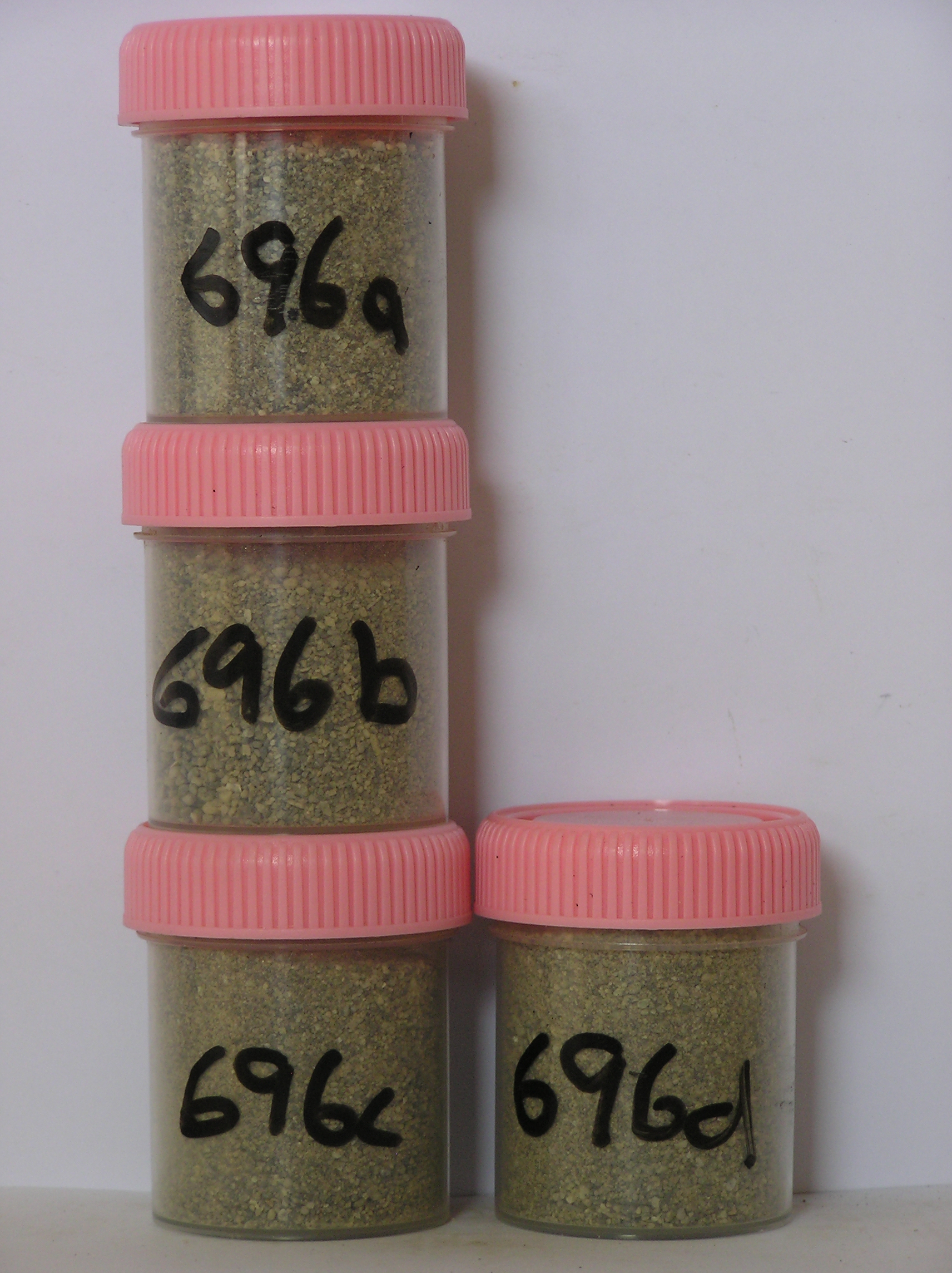
696a 0-6cm
201
pale brown (10YR 6/3) sandy pebble and cobble gravel
202
loose
203
rock particles angular and unweathered
204
distinct boundary,
696b 6-22cm
301
pale brown to brown (10YR 6/3-6/5) pebbly to cobbly sand (sand 30-40%)
302
weakly cohesive
303
rock particles angular and unstained
304
indistinct boundary,
696c 22-36cm
401
pale brown (10YR 6/3) cobbly granular sand
402
loose
403
rock particles angular and unstained with some partly crumbled
404
sharp boundary,
696d 36-42cm
501
pale brown (10YR 6/3) loose granular sand infilling the cracks in the fractured bedrock.
yes
a,b,c,d
dry frozen
35
1
(~35)
Geoland
| the rocks of the area are granodiorites that have been cut with lamprophyre dykes and form a strongly undulating ridge and gully topography as a result of ice |
| over riding from down-valley and up-valley glaciations and to a lesser extent, subaerial weathering; subsequent to glaciation, the terrain has been subjected to |
| drowning and emergence from fluctuating lake levels from Lake Vanda with some sorting or resorting of surficial materials |
| Soluble Salt |
| Concentration |
69600001
696
3-0cm
-3
0
none
69600002
696a
0-6cm
0
6
none
69600003
696b
6-22cm
6
22
none
69600004
696c
22-36cm
22
36
none
69600005
696d
36-42cm
36
42
none
69600001
72.00
0.30
69600002
77.00
0.70
69600003
91.00
0.60
69600004
84.00
0.40
69600001
8.20
0.40
0.49
0.96
0.20
0.09
0.45
0.99
0.04
69600002
7.70
0.48
0.61
1.17
0.26
0.18
0.80
1.25
0.06
69600003
7.90
0.36
0.28
0.78
0.31
0.13
0.97
0.26
0.00
69600004
8.20
0.28
0.21
0.60
0.22
0.11
0.80
0.20
0.03
69600001
69600002
69600003
69600004
12-Dec-2005
Page 654 of 896
696