Ross Sea Region Soil Sites
697000
697
29-Jan-1992
IBC, GGC
Vanda Station, Wright Valley at the eastern end of Lake Vanda
| assessment of environmental impacts from past human activities at Vanda Station; a site which may have |
| received some urine contamination |
not recorded
No
161.6730
-77.5270
77deg 31.6'S
-161deg -40.4'E
2m northeast of the northern most Vanda Station building on flat and very rocky surface
0
94
cf. Notes for GEOLAND below
xerous; the soil surface is occasionally moistened by summer snowfall
-20
coastal mountain
sand and bouldery fragmented granodiorite over bouldery fragmented granodiorite
| SURFACE WEATHERING or |
| SURFACE FEATURES |
surface cover is angular granodiorite pebbles, cobbles and boulders and loose sand; some slight exfoliation on surface boulders
mainly from foot trafficking; possibly some urine contamination
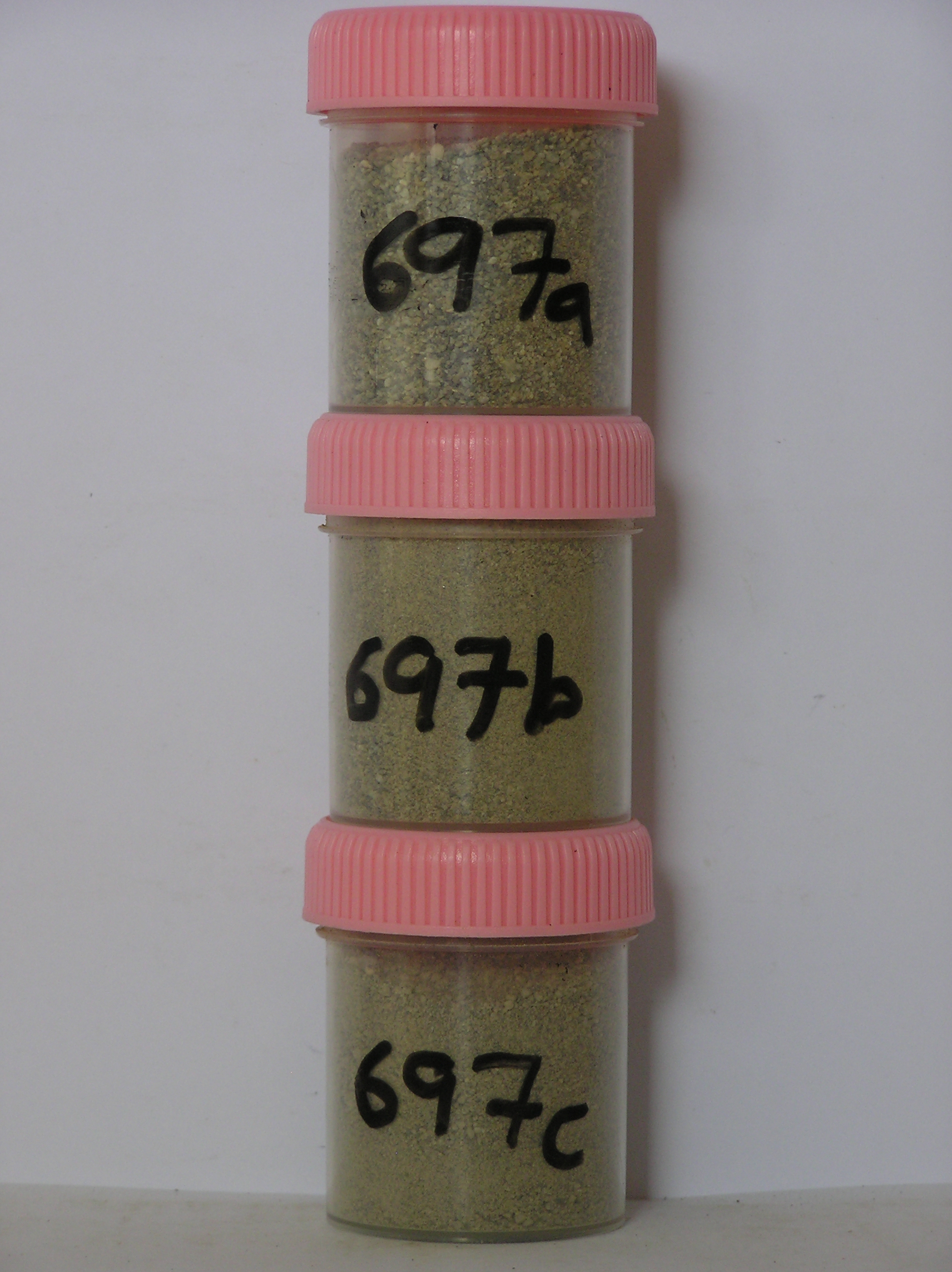
697a 0-10cm
101
pale brown (10YR 6/3) bouldery gravelly sand
102
loose
103
rock particles angular with some showing weak staining
104
distinct boundary,
697b 10-15cm
201
pale brown to brown (10YR 6/3-5/3) sand in fissures in fractured bouldery bedrock
202
sand fraction weakly cohesive but boulders interlocked
203
some rock slabs with silty coatings on the undersides
204
rock particles angular and unstained
205
indistinct boundary,
697c 15-35cm
301
pale brown to very pale brown (10YR 5/3-7/3) sand in fissures in fractured bedrock
302
loose.
yes
a,b,c
dry frozen
35
1
(~35)
Geoland
| the rocks of the area are granodiorites that have been cut with lamprophyre dykes and form a strongly undulating ridge and gully topography as a result of ice |
| over riding from down-valley and up-valley glaciations and to a lesser extent, subaerial weathering; subsequent to glaciation, the terrain has been subjected to |
| drowning and emergence from fluctuating lake levels from Lake Vanda with some sorting or resorting of surficial materials |
| Soluble Salt |
| Concentration |
69700001
697a
0-10cm
0
10
none
69700002
697b
10-15cm
10
15
none
69700003
697c
15-35cm
15
35
none
69700001
59.00
0.30
69700002
82.00
0.50
69700003
87.00
0.40
69700001
6.10
0.55
0.61
1.65
0.21
0.11
0.42
2.16
0.03
69700002
7.60
0.50
0.63
0.92
0.44
0.11
1.65
0.29
0.10
69700003
8.80
0.09
0.13
0.35
0.07
0.06
0.06
0.04
0.03
69700001
69700002
69700003
12-Dec-2005
Page 655 of 896
697