Ross Sea Region Soil Sites
699000
699
30-Dec-1993
IBC, GGC
Vanda Station, Wright Valley at the eastern end of Lake Vanda
| assessment of environmental impacts from past human activities at Vanda Station; a site which may be |
| influenced by rising the rising water level and a steel tower |
not recorded
CS Pro
No
161.6620
-77.5270
77deg 31.6'S
-161deg -39.7'E
45m west of the Vanda Station mess building and 31.5m northeast of a disused Helo landing pad, on an elongated island 5.7m from the current lake edge
0
92
cf. Notes for GEOLAND below
(m .. 91.5m)
xerous
-20
coastal mountain
sandy gravel with the coarse fraction derived chiefly from shattered lamprophyre dyke rock
| SURFACE WEATHERING or |
| SURFACE FEATURES |
pebble pavement is angular gravel
mainly from foot trafficking and some vehicle traffic
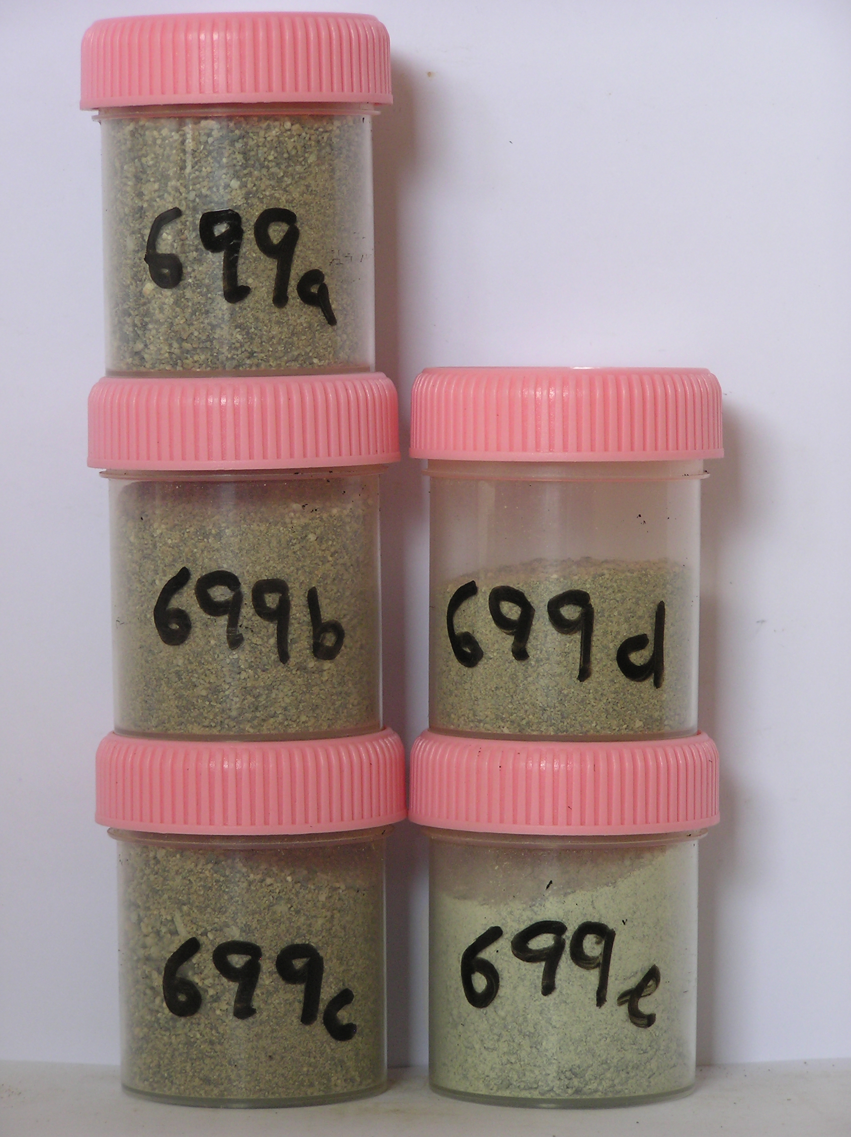
699a 2-0cm
101
surface pebble and cobble pavement
102
rock particles angular and unstained,
699b 0-12cm
201
pale brown (10YR 6/3) pebbly to cobbly gravelly sand
202
loose
203
rock particles angular and unstained
204
diffuse boundary,
699c 12-28cm
301
pale brown (10YR 6/3) sandy pebble and cobble gravel
302
loose
303
rock particles angular and unstained
304
indistinct boundary,
699d 28-50cm
401
pale brown (10YR 6/3) pebble and cobble gravel
402
weakly cohesive
403
rock particles angular and unstained
404
indistinct boundary,
699e 50-60cm
501
very pale brown (10YR 7/3) sand (<20%) infilling pebble to cobble-sized fractured in situ rock.
yes
a,b,c,d,e
dry frozen
35
1
(~35)
Geoland
| the rocks of the area are granodiorites that have been cut with lamprophyre dykes and form a strongly undulating ridge and gully topography as a result of ice |
| over riding from down-valley and up-valley glaciations and to a lesser extent, subaerial weathering; subsequent to glaciation, the terrain has been subjected to |
| drowning and emergence from fluctuating lake levels from Lake Vanda with some sorting or resorting of surficial materials |
| Soluble Salt |
| Concentration |
69900001
699a
2-0cm
-2
0
none
69900002
699b
0-12cm
0
12
none
69900003
699c
12-28cm
12
28
none
69900004
699d
28-50cm
28
50
none
69900005
699e
50-60cm
50
60
none
69900002
57.00
0.30
69900001
30.00
0.30
69900003
45.00
0.30
69900004
26.00
0.30
69900005
23.00
0.40
69900002
8.30
0.56
0.74
1.30
0.37
0.09
1.20
0.88
0.08
69900001
8.40
0.91
0.66
0.80
0.26
0.09
0.94
0.51
0.03
69900003
8.30
0.40
0.41
0.90
0.31
0.09
1.00
0.39
0.05
69900004
8.50
0.22
0.19
0.42
0.13
0.06
0.41
0.21
0.03
69900005
9.00
0.10
0.10
0.17
0.06
0.04
0.07
0.06
0.01
69900002
69900001
69900003
69900004
69900005
12-Dec-2005
Page 657 of 896
699