Ross Sea Region Soil Sites
702000
702
30-Dec-1993
IBC, GGC
Vanda Station, Wright Valley at the eastern end of Lake Vanda
| assessment of environmental impacts from past human activities at Vanda Station; this site was sampled to |
| give an indication of possible contamination seepages from the greywater gully disposal area into the lake |
not recorded
CS Pro
No
161.6750
-77.5270
77deg 31.6'S
-161deg -40.5'E
| 60m north-northeast of the Vanda Station Mess building and 35m north-northwest of the met screen at the northern end of a narrow shallow gully, 14.5m from the edge of the |
| lake |
3
NE
92
cf. Notes for GEOLAND below
(3o)
| subxerous; the soil is being influenced by rising lake waters and the site was moist as a result |
| of capillary water movement from Lake Vanda |
-20
coastal mountain
wind and water sorted pebbly sand over granodiorite bedrock
| SURFACE WEATHERING or |
| SURFACE FEATURES |
a weakly developed sandy gravel pavement; the site is within the wetting zone associated with capillary moistening from the lake waters
mainly foot traffic disturbance but the site may also be influenced by seepages of greywater contaminants
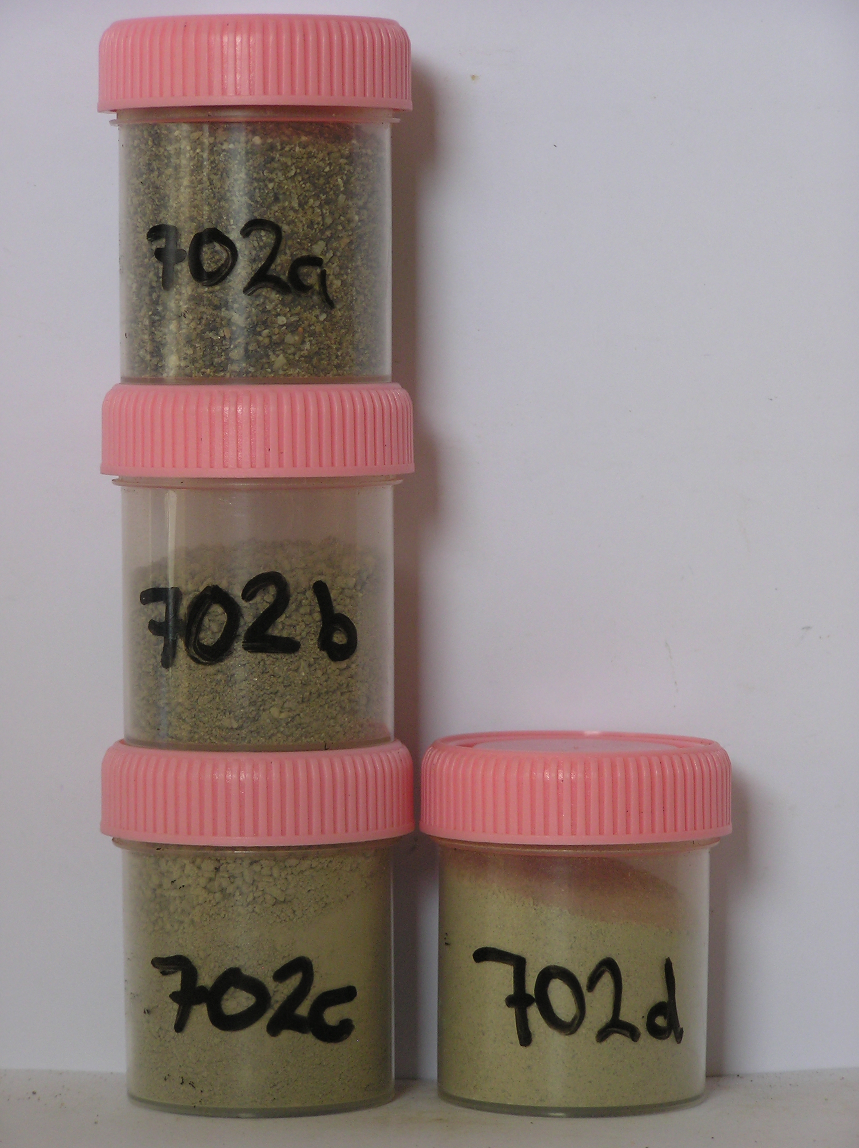
702a 0-8cm
101
light yellowish brown (2.5Y 6/4) pebbly granular sand
102
loose
103
moist
104
rock particles angular and unstained
105
distinct boundary,
702b 8-11cm
201
yellowish brown (10YR 5/4) pebbly granular sand with some unidentified organic material
202
loose
203
moist
204
rock particles subangular and unstained
205
distinct boundary,
702c 11-26
301
light yellowish brown (2.5Y 6/4) pebbly gravelly sand
302
loose
303
moist
304
some rock particles disaggregating through granular disintegration
305
sharp boundary,
702d 26-35cm
401
granular disaggregating granodiorite with water table at 37cm.
yes
a,b,c,d
35
1
(~35)
Geoland
| the rocks of the area are granodiorites that have been cut with lamprophyre dykes and form a strongly undulating ridge and gully topography as a result of ice |
| over riding from down-valley and up-valley glaciations and to a lesser extent, subaerial weathering; subsequent to glaciation, the terrain has been subjected to |
| drowning and emergence from fluctuating lake levels from Lake Vanda with some sorting or resorting of surficial materials |
| Soluble Salt |
| Concentration |
70200001
702a
0-8cm
0
8
none
70200002
702b
8-11cm
8
11
none
70200003
702c
11-26cm
11
26
none
70200004
702d
26-35cm
26
35
none
70200001
61.00
3.70
70200002
47.00
5.10
70200003
57.00
7.60
70200004
28.00
11.00
70200001
8.30
2.10
3.89
5.97
2.03
0.26
5.92
0.00
0.33
70200002
8.20
1.34
1.10
5.45
0.82
0.20
2.54
0.02
0.13
70200003
7.80
0.65
1.15
5.45
0.77
0.29
2.68
0.00
0.15
70200004
8.30
0.84
0.86
1.84
0.64
0.41
2.62
0.58
0.15
70200001
70200002
70200003
70200004
12-Dec-2005
Page 660 of 896
702