Ross Sea Region Soil Sites
703000
703
30-Dec-1993
IBC, GGC
Vanda Station, Wright Valley at the eastern end of Lake Vanda
| assessment of environmental impacts from past human activities at Vanda Station; this site was sampled |
| from a relatively undisturbed area upwind from Vanda Station to allow comparisons to be made with |
| disturbed sites |
not recorded
CS Pro
No
161.6600
-77.5297
77deg 31.8'S
-161deg -39.6'E
approximately 340m southwest of Vanda Station in the floor of a shallow narrow gully
0
95
cf. Notes for GEOLAND below
xerous; the soil surface is occasionally moistened by summer snowfalls
-20
coastal mountain
shallow partly crumbled granodiorite bedrock
| SURFACE WEATHERING or |
| SURFACE FEATURES |
the pavement is chiefly crumbled granodiorite pebbles and cobbles with some fine grained lamprophyre; fine grained rocks show some wind abrasion
a relatively undisturbed site apart from treking
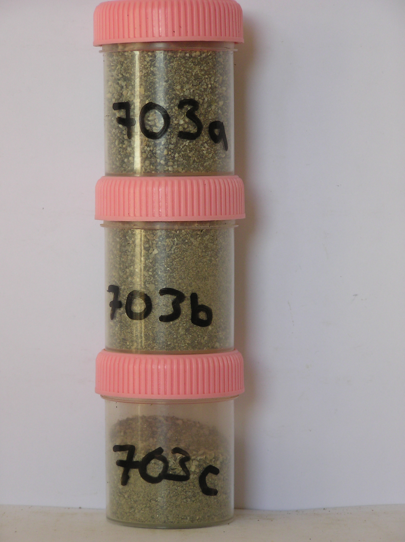
703a 2-0cm
101
surface pebbles, cobbles and loose sand
102
fine grained rocks are subrounded and coarser grained have some weak staining,
703b 0-6cm
201
pale brown to brown (10YR 6/3-5/3) gravelly sand
202
loose
203
rock particles angular with some light staining
204
distinct boundary,
703c 6-23cm
301
light yellowish brown (2.5Y 6/4) sand infilling interstices between fragmented granodiorite
302
| rock particles angular, mainly platy and interlocked, distinct boundary, on firm but partly disaggregating |
| granodiorite |
yes
a,b,c
dry frozen
35
1
(~35)
Geoland
| the rocks of the area are granodiorites that have been cut with lamprophyre dykes and form a strongly undulating ridge and gully topography as a result of ice |
| over riding from down-valley and up-valley glaciations and to a lesser extent, subaerial weathering; subsequent to glaciation, the terrain has been subjected to |
| drowning and emergence from fluctuating lake levels from Lake Vanda with some sorting or resorting of surficial materials |
| Soluble Salt |
| Concentration |
70300001
703a
2-0cm
-2
0
none
70300002
703b
0-6cm
0
6
none
70300001
45.00
0.20
70300002
64.00
0.20
70300003
19.00
0.40
70300001
8.30
0.10
0.16
0.14
0.06
0.01
0.06
0.26
0.01
70300002
8.20
0.25
0.32
0.59
0.11
0.03
0.10
0.85
0.02
70300003
7.70
0.52
0.50
1.81
0.21
0.11
0.31
2.14
0.06
70300001
70300002
70300003
12-Dec-2005
Page 661 of 896
703