Ross Sea Region Soil Sites
708000
708
2-Jan-1993
IBC, GGC
Vanda Station, Wright Valley at the eastern end of Lake Vanda
soil moisture investigation of lake edge wetting front
not recorded
CS Pro
No
166.7500
-75.8333
75deg 50.0'S
-166deg -45.0'E
| 80 m southwest of the Vanda Station Mess building on the small island on which the two disused helo pads are located, 2.7m from the lake edge; this site is 2.7m downslope |
| from site 707 and is at centre of the wetting fringe |
7
SE
92
cf. Notes for GEOLAND below
(7o)
| xerous; the soil has become moist throughgout as a result of capillary movement of water |
| from the edge of Lake Vanda |
-20
coastal mountain
fractured, mainly lamprophyre dyke rock forming a sandy gravel mantle
| SURFACE WEATHERING or |
| SURFACE FEATURES |
surface clasts are mainly angular and unstained
a relatively undisturbed site apart from treking
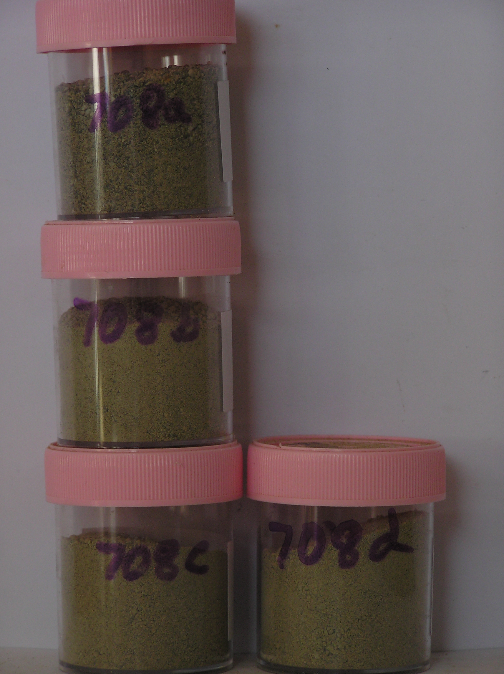
708a 0-10cm
101
light yellowish brown to pale yellow (2.5Y 6/4-7/4) pebbly gravelly sand
102
loose
103
moist
104
rock particles angular and unstained
105
indistinct boundary,
708b 10-20cm
201
light yellowish brown to pale yellow (2.5Y 6/4-7/4) sandy pebble gravel
202
loose
203
moist
204
rock particles angular and unstained
205
indistinct boundary,
708c 20-30cm
301
light yellowish brown to pale yellow (2.5Y 6/4-7/4) sandy pebble gravel
302
loose
303
moist
304
rock particles angular and unstained
305
indistinct boundary,
708d 30-40cm
401
light yellowish brown to pale yellow (2.5Y 6/4-7/4) sandy pebble gravel
402
loose
403
moist
404
rock particles angular and unstained
405
indistinct boundary, on moist fragmented rock.
yes
a,b,c,d
moist
35
1
(~35)
Geoland
| the rocks of the area are granodiorites that have been cut with lamprophyre dykes and form a strongly undulating ridge and gully topography as a result of ice |
| over riding from down-valley and up-valley glaciations and to a lesser extent, subaerial weathering; subsequent to glaciation, the terrain has been subjected to |
| drowning and emergence from fluctuating lake levels from Lake Vanda with some sorting or resorting of surficial materials |
| Soluble Salt |
| Concentration |
70800001
708a
0-10cm
0
10
4.80
none
70800002
708b
10-20cm
10
20
8.60
none
70800003
708c
20-30cm
20
30
8.20
none
70800004
708d
30-40cm
30
40
11.00
none
70800001
54.00
17.40
45.90
27.90
3.10
1.00
3.40
1.20
4.80
70800002
46.00
17.10
44.90
27.80
3.10
1.80
3.50
2.10
8.60
70800003
46.00
12.50
48.30
29.40
2.60
1.00
3.60
2.50
8.20
70800004
46.00
15.90
43.60
29.30
2.90
1.40
4.10
2.70
11.00
70800001
8.40
1.36
1.50
4.10
1.30
0.20
5.10
2.10
0.01
70800002
8.30
0.74
0.50
2.10
0.60
0.20
2.00
1.40
0.01
70800003
8.20
0.71
0.20
2.00
0.70
0.20
2.30
0.80
0.01
70800004
8.20
0.68
2.03
0.78
0.01
70800001
70800002
70800003
70800004
12-Dec-2005
Page 666 of 896
708