Ross Sea Region Soil Sites
760068
760D
14-Jan-1994
IBC,GGC,MRB,DSS
Vanda Station, Wright Valley
| Soil contamination studies at Vanda Station from a series of sites 1m apart to determine if contaminants are |
| moving through moist soils; |
not recorded
CS Lscp & Pro
No
161.6670
-77.5267
77deg 31.6'S
-161deg -40.0'E
cf. Notes for DESCR below
8
S
600
cf. Notes for GEOLAND below
(8o)
| The soil ranges from saturated at the lake edge to dry 5.5m away beyond the edge of the |
| wetting front |
-24
Central Mountain
Sandy pebble to boulder gravels reworked by fluctuating levels of Lake Vanda
None observed
| SURFACE WEATHERING or |
| SURFACE FEATURES |
A smooth surface with a well developed gravel pavement
Minimal human disturbance; unlikely to have been subjected to any significant chemical contamination
760Da 0-10cm
101
light olive brown (2.5Y 5/4) moist gravelly sand,
760Db 10-20cm
201
light olive brown (2.5Y 5/4) moist gravelly sand,
760Dc 20-30cm
301
light olive brown (2.5Y 5/4) moist bouldery gravel formed from fractured lamprophyre bedrock
302
sand fraction 10% in bedrock cracks,
760Dd 30-50cm
401
olive brown (2.5Y 4/4) moist merging to wet bouldery gravel formed from fractured lamprophyre bedrock
402
watertable at 50cm
Yes (IGNS)
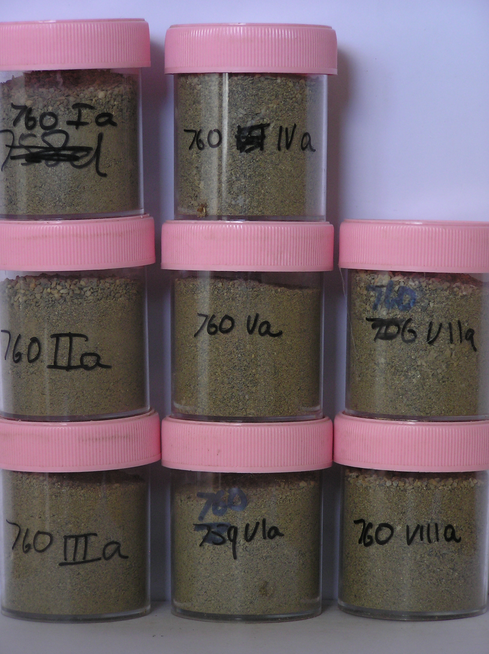
Ia-Va
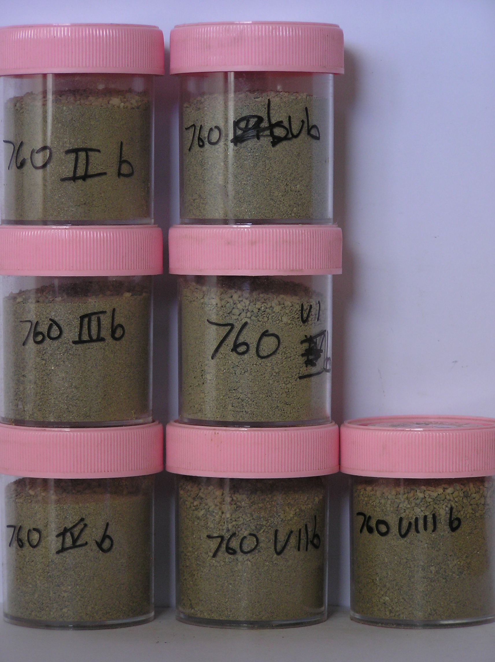
Ib-Vb
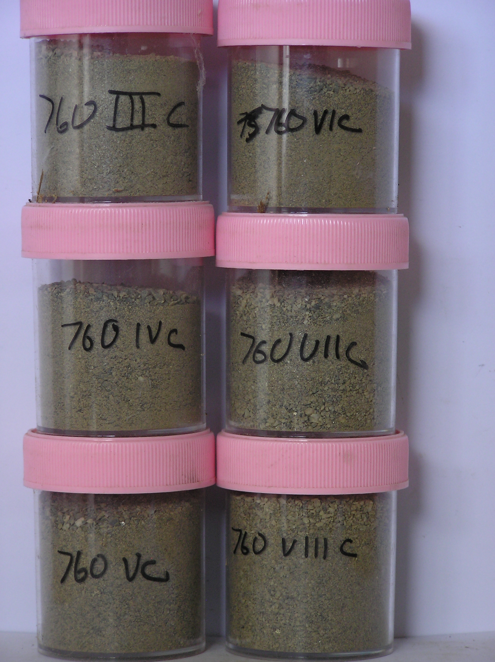
Ic-Vc
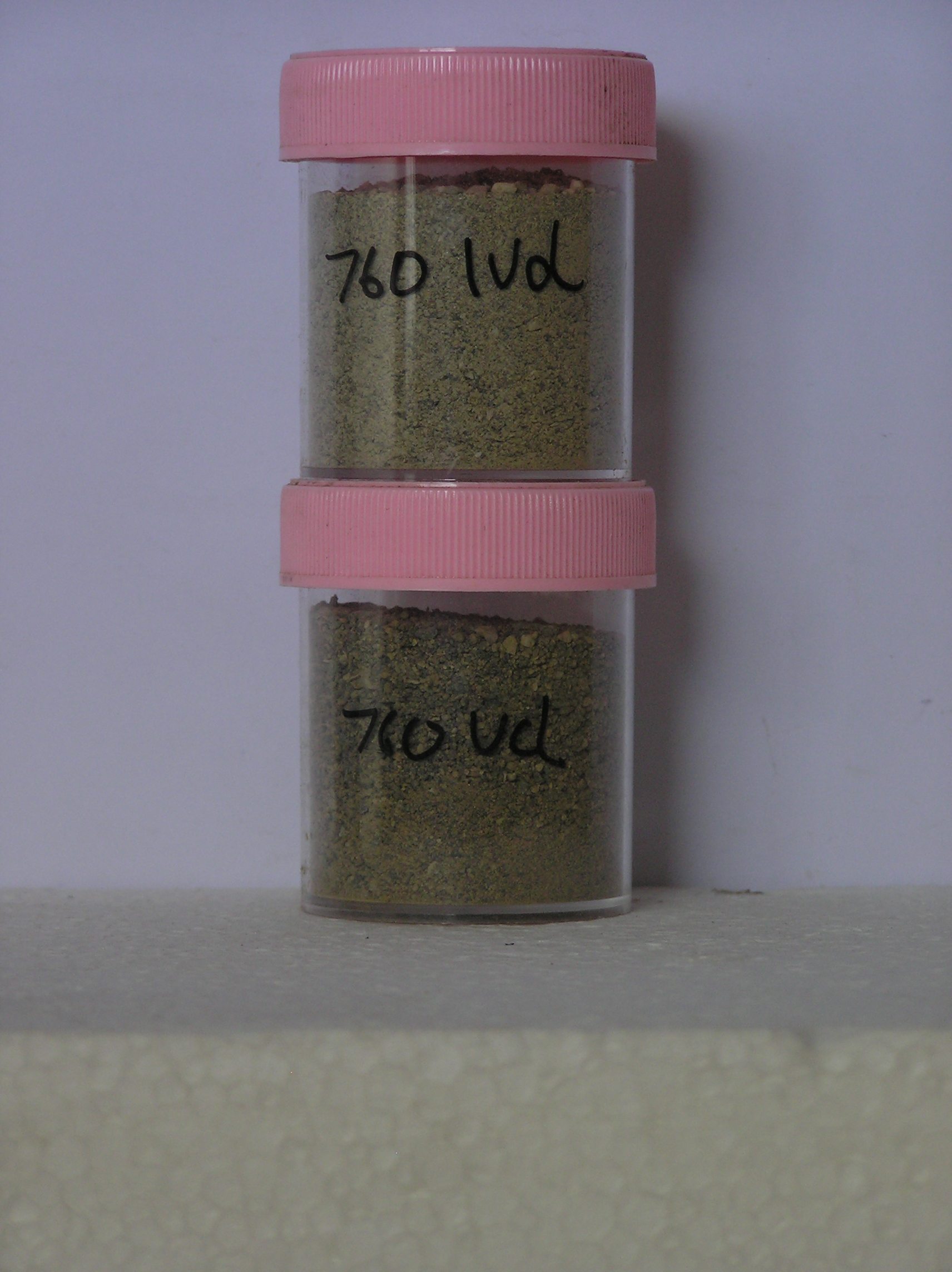
Id-Vd
0
1
| Soluble Salt |
| Concentration |
76006801
760IVa
0-10cm
0
10
43.00
3.13
none
76006802
760IVb
10-20cm
10
20
37.00
3.75
none
76006803
760IVc
20-30cm
20
30
15.00
2.67
none
76006804
760IVd
30-50cm
30
50
17.00
4.94
none
76006801
43.00
3.13
76006802
37.00
3.75
76006803
15.00
2.67
76006804
17.00
4.94
76006801
0.92
2.47
0.86
0.15
2.86
1.39
0.21
76006802
0.22
0.35
0.15
0.07
0.48
0.10
0.00
76006803
0.18
0.17
0.07
0.06
0.25
0.05
0.00
76006804
76006801
76006802
76006803
76006804
12-Dec-2005
Page 733 of 896
760D