Ross Sea Region Soil Sites
772000
772
20-Jan-1994
IBC,GGC,MRB,DIC
Beacon Heights, on the south side of Upper Taylor Glacier between East and West Beacon
Permafrost and soil moisture investigations for comparison with soils from moist coastal regions
not recorded
CS Pro & Lscp
No
160.8880
-77.8167
77deg 49.0'S
-160deg -53.3'E
cf. Notes for DESCR below
5
SW
1,760
cf. Notes for GEOLAND below
(5o)
| Xerous; some snow falls in winter and summer months but most is lost through ablation or by |
| blowing away; some small pockets of snow in patterned ground cracks |
-30
Central Mountain
Bouldery to cobbly sandy gravel till derived from dolerite, sandstone and granodiorite; some sandstone clasts disaggregated
Only endolithic algae observed below the surface of sandstone boulders or outcrops
Polygons are 15-20m across with troughs that are 1m wide and 50cm deep; some weakly developed inactive cracks
| SURFACE WEATHERING or |
| SURFACE FEATURES |
cf. Notes for SURFWEA below
Nil
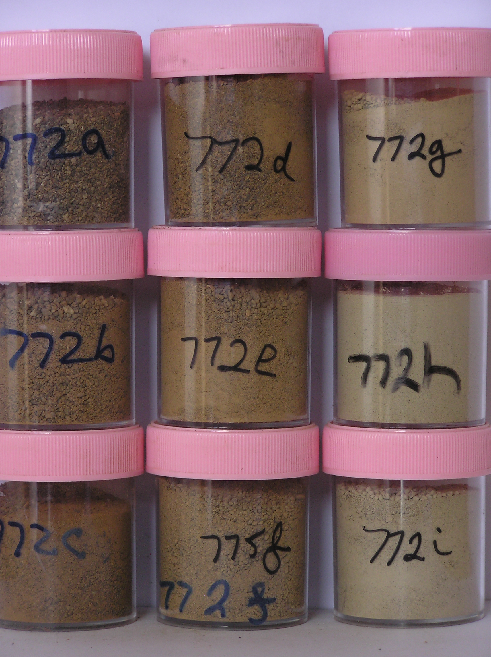
772a 3-0cm
101
surface pebbles, cobbles and boulders of dolerite and granite and loose sand
102
dolerite clasts subrounded, strongly stained and partly pitted and granite clasts subrounded and partly crumbled
103
moderately developed pavement,
772b 0-3cm
201
brown (7.5YR 5/4) pebbly to cobbly gravelly sand
202
loose
203
rock particles subrounded to subangular, moderately stained and partly altered
204
distinct boundary,
772c 3-12cm
301
yellowish red (5YR 5/6) bouldery to pebbly sandy gravel
302
moderately cohesive
303
some diffuse salt accumulations
304
rock particles subrounded to subangular and moderately to weakly stained
305
indistinct boundary,
772d 12-25cm
401
strong brown (7.5YR 5/6) sandy bouldery to pebbly gravel
402
loose
403
few fine salt flecks
404
rock particles mainly subangular and non to weakly stained
405
indistinct boundary,
772e 25-45cm
501
strong brown to reddish yellow (7.5YR 5/6-6/6) sandy bouldery to pebbly gravel
502
loose
503
rock particles mainly subangular and unstained
504
sharp boundary
505
772f 45-55cm
601
] drill core samples in ice-cemented ground ]
772g 55-70cm
701
] ]
772h 70-84cm
801
] ]
772i 84-93cm
901
] ]
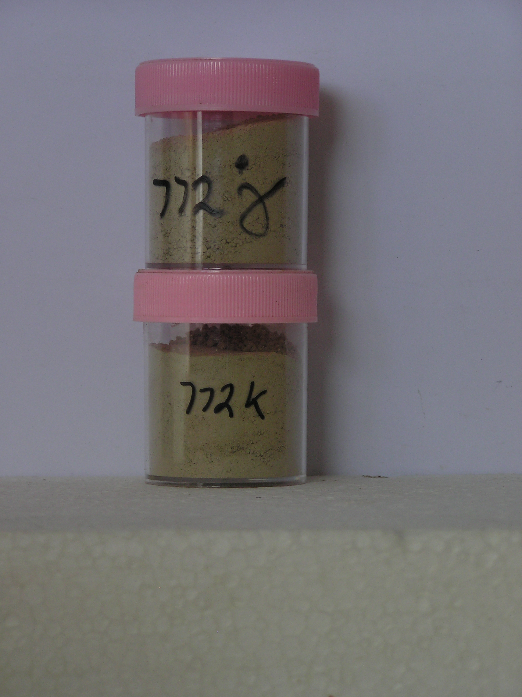
772j 93-111cm
1001
] ]
772k 111-127cm
1101
]
Yes
a,b,c,d,e,f,g,h,i,j,k
a,b,c,d,e,f,g,h,i,j,k
hard ice-cemented
45
4/5
Descr
| Near the mouth of the valley, 2km east of West Beacon and 1.7km north of East Beacon; the surface is a broad moraine ridge complex that slopes from the |
| southeast side of the valley towards the valley mouth; the ground surface is uneven and broken by broad polygon mounds; the site is on the up-valley side of the |
| moraine ridge complex with boulders up to 2m |
Geoland
| Local outcropping rocks are Ferrar Dolerite and Beacon Sandstone; the till at this site differs from other tills in the valley in that it contains a significant |
| proportion of relatively fresh looking granodiorite clasts ranging from large boulders to cobbles; the till is considered to have been derived from an up-valley |
| movement of ice which deposited the till as it entered and retreated from this higher altitude valley, currently some 650m above the ice level of the Upper Taylor |
| Glacier; the nearest known granodiorite outcrops are several km down valley |
Surfwea
| Dolerite and sandstone clasts are subrounded and strongly stained and dolerite clasts are moderately pitted; some sandstone clasts are exfoliated and cavernously |
| weathered; granodiorite clasts have a fresher appearance and may have been more recently deposited; salts occur beneath some stones |
| Soluble Salt |
| Concentration |
77200001
772a
3-0cm
-3
0
34.00
0.49
none
77200002
772b
0-3cm
0
3
77.00
1.16
none
77200003
772c
3-12cm
3
12
82.00
1.78
none
77200004
772d
12-25cm
12
25
78.00
1.48
none
77200005
772e
25-45cm
25
45
67.00
1.59
none
77200006
772f
45-55cm
45
55
85.00
15.56
none
77200007
772g
55-70cm
55
70
96.00
20.09
none
77200008
772h
70-84cm
70
84
49.00
14.22
none
77200009
772i
84-93cm
84
93
61.00
28.44
none
77200010
772j
93-111cm
93
111
46.00
30.78
none
77200011
772k
111-127cm
111
127
62.00
19.08
none
77200001
34.00
0.49
77200002
77.00
1.16
77200003
82.00
1.78
77200004
78.00
1.48
77200005
67.00
1.59
77200006
85.00
15.56
77200007
96.00
20.09
77200008
49.00
14.22
77200009
61.00
28.44
77200010
46.00
30.78
77200011
62.00
19.08
77200001
77200002
77200003
77200004
77200005
77200006
77200007
77200008
77200009
77200010
77200011
77200001
77200002
77200003
77200004
77200005
77200006
77200007
77200008
77200009
77200010
77200011
12-Dec-2005
Page 749 of 896
772