Ross Sea Region Soil Sites
773000
773
20-Jan-1994
IBC,GGC,MRB,DIC
Beacon Heights, on the south side of Upper Taylor Glacier between East and West Beacon
Permafrost and soil moisture investigations for comparison with soils from moist coastal regions
not recorded
CS Pro & Lscp
No
160.8800
-77.8133
77deg 48.8'S
-160deg -52.8'E
cf. Notes for DESCR below
3
SE
1,700
cf. Notes for GEOLAND below
(3o)
| Xerous; some snow falls in winter and summer months but most is lost through ablation or by |
| blowing away; some small pockets of snow in patterned ground cracks |
-30
Central Mountain
Old bouldery sandy to silty gravel till derived from granodiorite, granite, dolerite and sandstone; may possibly include some volcanic ash
Only endolithic algae observed below the surface of sandstone boulders or outcrops
Very weakly expressed but some older inactive polygon cracks
| SURFACE WEATHERING or |
| SURFACE FEATURES |
cf. Notes for SURFWEA below
Nil
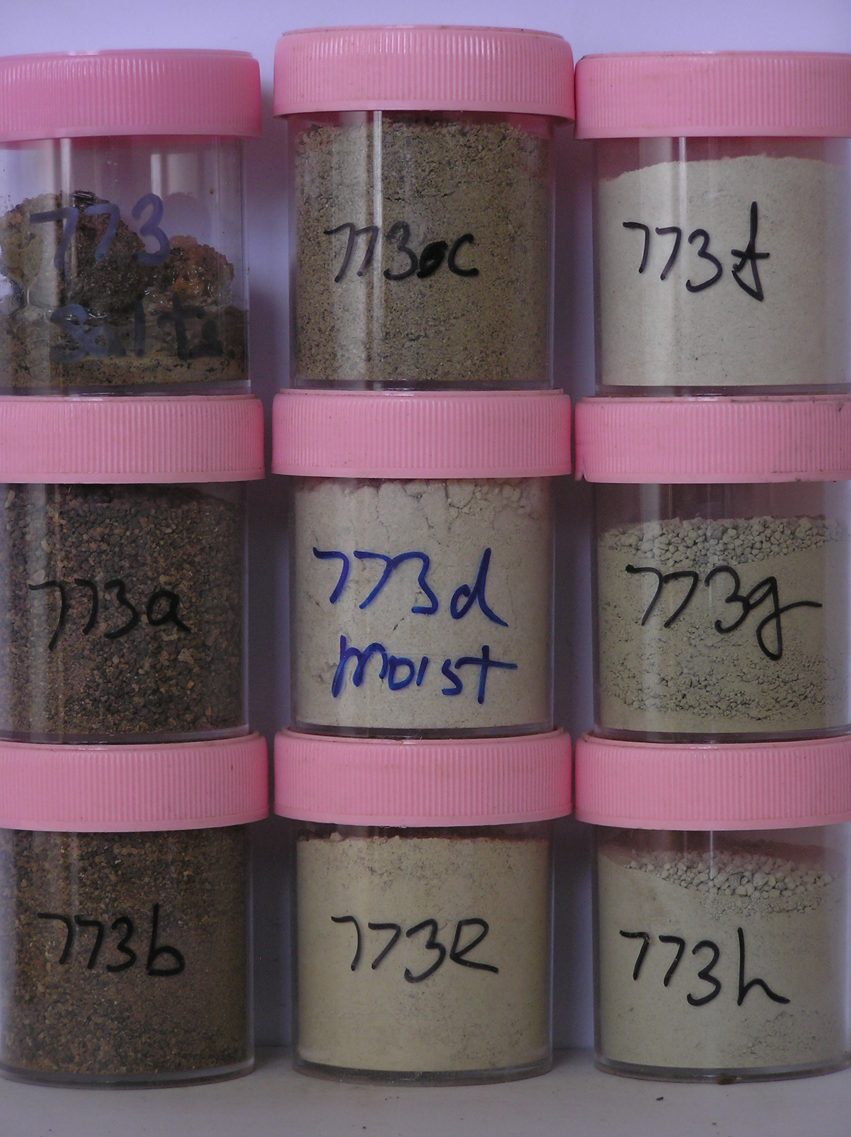
773a 4-0cm
101
surface cobbles, pebbles and loose sand
102
subrounded with some weakly ventiform
103
fine grained clasts polished but coarse grained rocks crumbly and exfoliating
104
strongly stained,
773b 0-1cm
201
brown (7.5YR 5/4) granular pebbly sand
202
loose to weakly cohesive with weakly developed vesicular structure
203
| rock particles subrounded to subangular, strongly stained & some strongly altered, yellowish red to red (5YR |
| 5/8-2.5YR 5/8) weathering on broken faces |
204
sharp boundary,
773c 1-8cm
301
light yellowish brown (10YR 6/4) cobbly silty to sandy gravel
302
loose
303
rock particles subrounded to subangular with some unstained and some strongly altered
304
a few sandstone and coarse dolerite ghosts
305
sharp boundary,
773d 8-22cm
401
white (2.5Y 8/2) silty sand with some granules
402
firmly cohesive
403
rock particles subangular and unstained
404
sharp and wavy boundary,
773e 22-48cm
501
very pale brown (10YR 7/4) bouldery sandy gravel
502
loose
503
| rock particles subangular & unstained but some dolerite, sandstone and coarse grained rocks totally |
| disaggregated |
504
shaarp boundary,
773f 65-84cm
601
] drill core samples in ice-cemented ground ]
773g 84-90cm
701
] ]
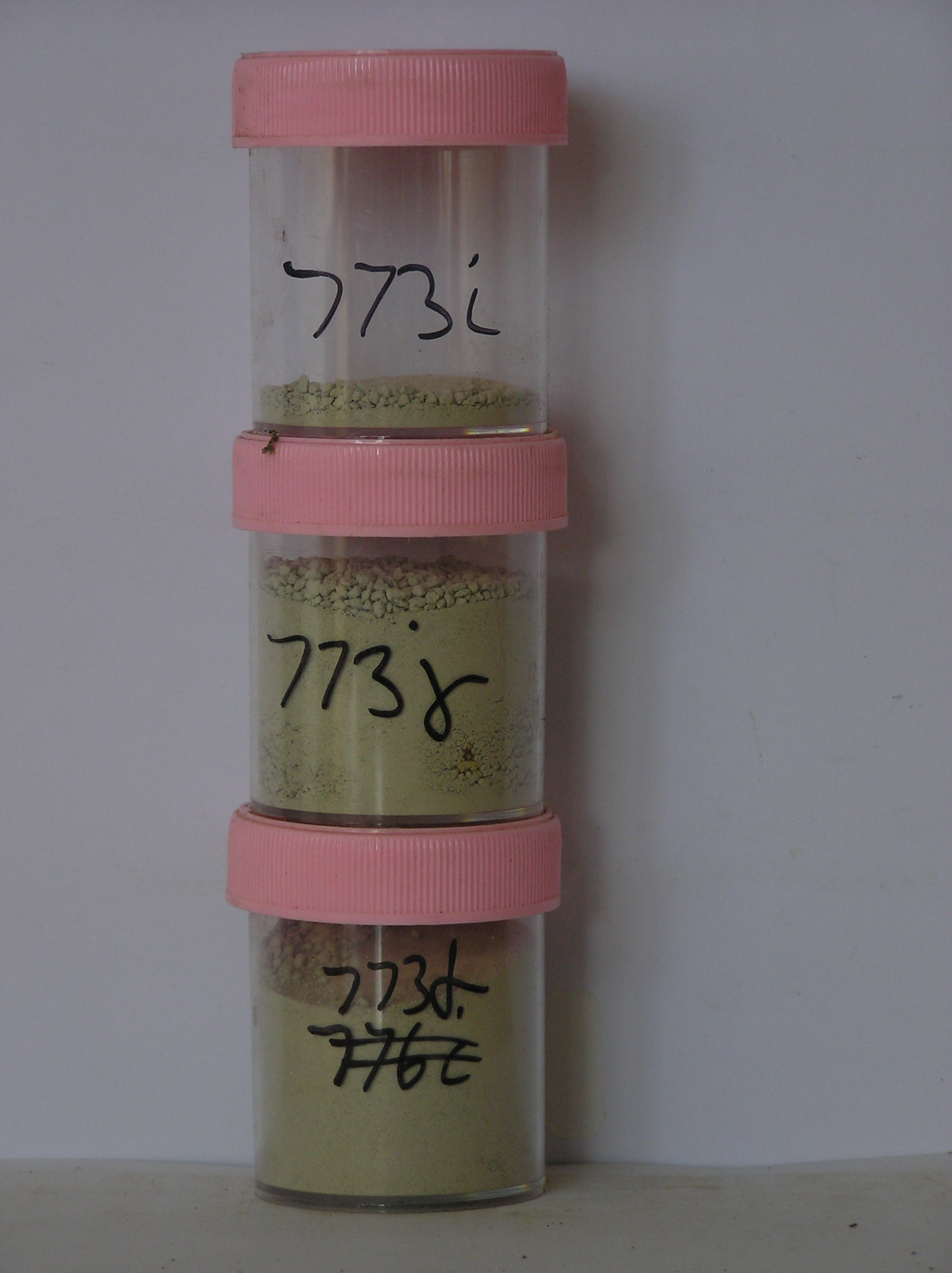
773h 90-105cm
801
] ]
773i 105-113cm
901
] ]
773j 113-132cm
1001
]
Yes
a,b,c,d,e,f,g,h,i,j,k
a,b,c,d,e,f,g,h,i,j,k
hard ice-cemented
65
3/4
Descr
| At the mouth of the valley, on the up-valley side of a low ridge forming an escarpment overlooking Taylor Glacier and 50m from the ridge crest; approximately |
| 1.8km east-northeast of West Beacon and 2km north- northwest of East Beacon; part of a series of small moraine ridges and hollows that slope downwards in the |
| up-valley direction; the ground surface is broad and slightly undulating with many surface boulders |
Geoland
| Local outcropping rocks are Ferrar Dolerite and Beacon Sandstone; the till at this site differs from most of the other tills in the valley in that it contains a |
| significant proportion of relatively fresh looking granodiorite and granite clasts ranging from large boulders to cobbles; the till is considered to have been |
| derived from an up-valley movement of ice which deposited as ice entered and retreated from this higher altitude valley, currently some 650m above the ice level |
| of the Upper Taylor Glacier; the nearest known granodiorite outcrops are several km down valley; pale coloured fine textured and low density material occurring |
| as a layer may possibly be volcanic ash |
Surfwea
| Dolerite and sandstone clasts are subrounded and strongly stained and polished; some are weakly to moderately ventiform; some granite clasts are crumbled and |
| are cavernously weathered; the cobble and boulder pavement is well developed; salts occur beneath surface stones |
| Soluble Salt |
| Concentration |
77300001
773a
4-0cm
-4
0
20.00
0.33
none
77300002
773b
0-1cm
0
1
60.00
0.82
none
77300003
773c
1-8cm
1
8
48.00
1.21
none
77300004
773d
8-22cm
8
22
95.00
2.57
none
77300005
773e
22-48cm
22
48
38.00
1.54
none
77300006
773f
65-84cm
65
84
51.00
11.00
none
77300007
773g
84-90cm
84
90
43.00
13.28
none
77300008
773h
90-105cm
90
105
37.00
25.61
none
77300009
773i
105-113cm
105
113
5.00
8.21
none
77300010
773j
113-132cm
113
132
12.00
12.07
none
77300001
20.00
0.33
77300002
60.00
0.82
77300003
48.00
1.21
77300004
95.00
2.57
77300005
38.00
1.54
77300006
51.00
11.00
77300007
43.00
13.28
77300008
37.00
25.61
77300009
5.00
8.21
77300010
12.00
12.07
77300001
77300002
77300003
77300004
77300005
77300006
77300007
77300008
77300009
77300010
77300001
77300002
77300003
77300004
77300005
77300006
77300007
77300008
77300009
77300010
12-Dec-2005
Page 750 of 896
773