Ross Sea Region Soil Sites
780000
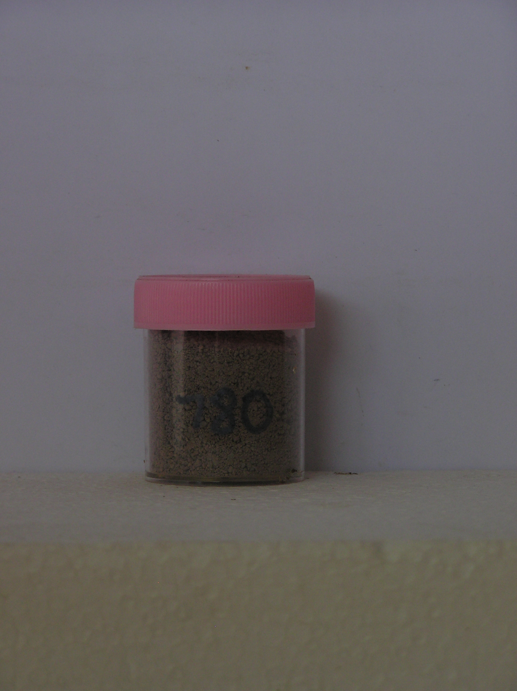
780
25-Jan-1994
IBC, GGC, DSS
Pram Point, Scott Base
For determination of sources and levels of soil contaminants around Scott Base
not recorded
Pro CS & Lscp
No
166.7670
-77.8500
77deg 51.0'S
-166deg -46.0'E
SS15 T3; 14.5m southeast from the old Scott Base Mess building on a smooth landsurface formed by infilling and landsurface reshaping
10
S
12
cf. Notes for GEOLAND below
(10o)
| Xerous to subxerous; the soil is moist and soil moisture may partly come from subsurface |
| seepage |
-18
Coastal mountain
Fill materials from local volcanic materials formed for the purpose of landsurface reshaping and general landscaping
Some patches of algae in hollows and in water seepage areas
Nil
| SURFACE WEATHERING or |
| SURFACE FEATURES |
Some surface salt efflorescences are present at the site
The land surface was shaped at the time the old Scott Base Mess Building was relocated; some vehicle traffic
780a 1-0cm
101
surface pebbles and granules
102
loose with some precipitated salts
103
780b 0-9cm
201
dark greyish brown (10YR 4/2) sandy cobble gravel
202
moderately cohesive
203
moist
204
distinct boundary,
780c 9-20cm
301
dark greyish brown (10YR 4/2/) cobble and boulder gravel
302
moist
303
compacted and firmly cohesive
304
indistinct boundary,
780d 20-30cm
401
dark greyish brown (10YR 4/20 bouldery gravel
402
moist
403
compacted and firmly cohesive
404
some foreign fibrous materials, on ice-cemented ground
Yes (IGNS)
a
Ice-cemented
30
1
Geoland
| The materials comprise volcanics of the McMurdo Volcanics Formation mainly as scoriaceous lava flows; the surface materials are a thin cover of mainly |
| fractured bedrock with addition of some glacially derived granular and pebble clasts from outside the immediate area; the volcanic bedrock has been |
| considerably fractured by patterned ground freeze thaw; the surface age is probably very late Pleistocene (Ross Sea Glaciation) having been modified by |
| McMurdo Sound filling glacial ice |
| Soluble Salt |
| Concentration |
78000001
780a
1-0cm
-1
0
none
78000002
780b
0-9cm
0
9
none
78000003
780c
9-20cm
9
20
none
78000004
780d
20-30cm
20
30
none
12-Dec-2005
Page 757 of 896
780