Ross Sea Region Soil Sites
801000
801
12-Jan-1995
IBC, GGC
Coombs Hills, northern Dry Valley region and to the north of Mt Brooke
Permafrost and soil moisture investigations
not recorded
Lscp & CS Profile
No
159.9200
-76.8033
76deg 48.2'S
-159deg -55.2'E
| Approximately 2.6km NNE of Mt Brooke on the floor of a valley and on the west side; the site is in a shallow depression formed from shallow ridge and swale topography, |
| about 7m away from a large snow patch; the site is 50m away from soil 800 |
4
E
2,000
cf. Notes for GEOLAND below
1
-3.0
10
-2.0
20
-4.0
30
-5.0
40
-6.0
50
-7.0
60
-8.0
70
-8.0
80
-9.0
90
-10.0
| Xerous; several snowfalls and a recent fall within 12 hours but most ablated with little sign of |
| soil moistening |
-32
Central Mountain
Dominantly dolerite/volcanic till but with the fine fraction from the more erodible haloclastite; till, possibly modified during deposition and or ablation by wind sorting
Nil observed at site
Nil at site or on the immediate surface
| SURFACE WEATHERING or |
| SURFACE FEATURES |
| Well developed pebble and cobble pavement with 10% boulders; doleritic clasts are subrounded and weakly ventiform with some fine pitting; salts are |
| present beneath some surface stones |
Nil
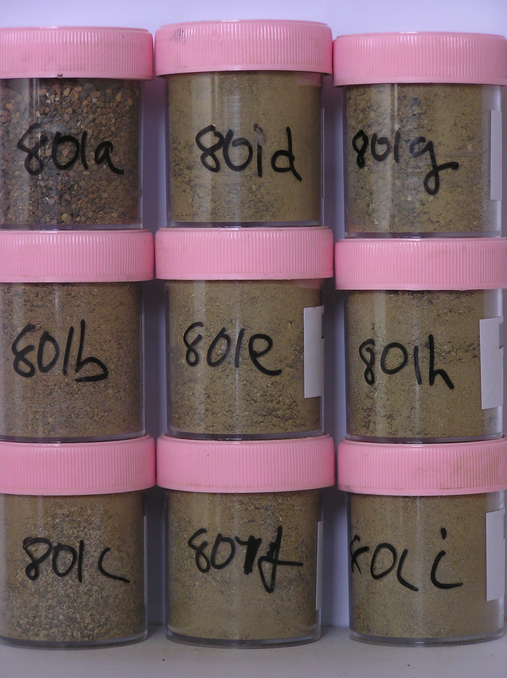
801a 4-0cm
101
surface cobbles, pebbles and granular sand
102
subangular to subrounded
103
rock particles mainly unstained but some moderately to strongly altered,
801b 0-3cm
201
yellowish brown to brown (10YR 5/4 - 7.5YR 5/4) granular sand
202
loose to weakly cohesive
203
weakly developed vesicular structure
204
rock particles subrounded to subangular, mainly unstained but some strongly altered
205
distinct boundary,
801c 3-16cm
301
yellowish brown (10YR 5/4) sandy pebble and cobble gravel
302
moderately cohesive
303
scattered salt aggregations
304
rock particles subangular to subrounded and unstained with some clasts disaggregating
305
the horizon is cut by a thin sand wedge
306
indistinct boundary,
801d 16-30cm
401
light olive brown (2.5Y 5/4) sandy pebble and cobble gravel
402
weakly cohesive
403
many to abundant diffuse salt accumulations
404
rock particles subangular to subrounded and unstained
405
distinct boundary,
801e 30-50cm
501
light olive brown (2.5Y 5/4) pebbly to bouldery gravel
502
weakly cohesive
503
scattered diffuse salts with accumulations on rock faces
504
some clasts partially disaggregated
505
rock particles mainly subangular
506
indistinct boundary,
801f 50-70cm
601
light olive brown (2.5Y 5/4) pebbly to bouldery gravel
602
weakly cohesive
603
scattered diffuse salts with accumulations on rock faces
604
some clasts partially disaggregated
605
rock particles mainly subangular
606
indistinct boundary,
801g 70-90cm
701
light olive brown (2.5Y 5/4) pebbly to bouldery gravel
702
weakly cohesive
703
scattered diffuse salts with accumulations on rock faces
704
some clasts partially disaggregated
705
rock particles mainly subangular
706
indistinct boundary,
801h 90-110cm
801
light olive brown (2.5Y 5/4) pebbly to bouldery gravel
802
loose
803
few fine salt accumulations
804
some clasts partially disaggregating
805
rock particles mainly subangular and unstained
806
indistinct boundary,
801i 110-120cm+
901
light olive brown (2.5Y 5/4) bouldery gravel
902
loose
903
rock particles subangular and unstained
Yes
a,b,c,d,e,f,g,h,i
dry frozen
0
4
(0cm)
Geoland
| Rocks of the area are dominantly volcanic (doleritic but dark coloured, fine grained and with a somewhat vesicular form compared with usual dolerite) and |
| softer haloclastite", (earlier described as tillite); the haloclastite contains basement rocks, dolerite and sandstone clasts with sedimentary structures in places; it is |
| softer and more erodible than the dolerite; the till cover across the area is quite variable and is generally thinner towards Mt Brooke and towards the higher |
| ridges; the till mantle has formed an undulating ridge and swale surface across the landscape with a mega-ripple appearance, which may relate to the manner in |
| which the ice sheets have retreated and ablated, rather than to subsequent landscape modification by wind; although the land surface has a mega ripple, the |
| deposits have no dune like characteristics" |
| Soluble Salt |
| Concentration |
80100001
801a
4-0cm
-4
0
7.65
1.02
none
80100002
801b
0-3cm
0
3
1.47
51.23
2.17
none
80100003
801c
3-16cm
3
16
1.48
55.19
3.86
none
80100004
801d
16-30cm
16
30
1.59
65.23
2.75
none
80100005
801e
30-50cm
30
50
1.63
44.23
2.24
none
80100006
801f
50-70cm
50
70
1.63
44.13
2.31
none
80100007
801g
70-90cm
70
90
1.60
21.27
2.44
none
80100008
801h
90-110cm
90
110
1.62
27.94
2.44
none
80100009
801i
110
120
1.60
25.80
3.03
none
80100001
11.80
1.02
80100002
73.30
2.17
80100003
51.90
3.86
80100004
37.50
2.75
80100005
19.70
2.24
80100006
22.70
2.31
80100007
20.50
2.44
80100008
22.10
2.44
80100009
31.80
3.03
80100001
80100002
80100003
80100004
80100005
80100006
80100007
80100008
80100009
80100001
80100002
80100003
80100004
80100005
80100006
80100007
80100008
80100009
12-Dec-2005
Page 778 of 896
801