Ross Sea Region Soil Sites
804000
804
15-Jan-1995
IBC, GGC
Coombs Hills, northern Dry Valley region and to the north of Mt Brooke
Permafrost and soil moisture investigations
not recorded
Lscp & CS Profile
No
159.9020
-76.8100
76deg 48.6'S
-159deg -54.1'E
| Approximately 2.2km NE of Mt Brooke and on the eastern side of the valley, on an undulating bench surface within glacial moraine cut topography; the site is on a near flat |
| surface at the foot of a longer gentle slope |
0
Nil
2,180
cf. Notes for GEOLAND below
| Xerous; several snowfalls and a recent fall within 36 hours also considerable drift snow; most |
| snow cover removed by wind but patchy snow cover present at the sampling site |
-32
Central Mountain
Dominantly dolerite/volcanic till but with the fine fraction from the more erodible haloclastite over ice cemented ground at shallow depth
Nil observed at site
Not present
| SURFACE WEATHERING or |
| SURFACE FEATURES |
| A well developed pavement of pebbles, cobbles and occasional boulders; clasts subrounded to subangular; most are unstained but some coarser dolerite |
| clasts are moderately oxidised; weakly developed ventiforms; salts beneath surface stones |
Nil
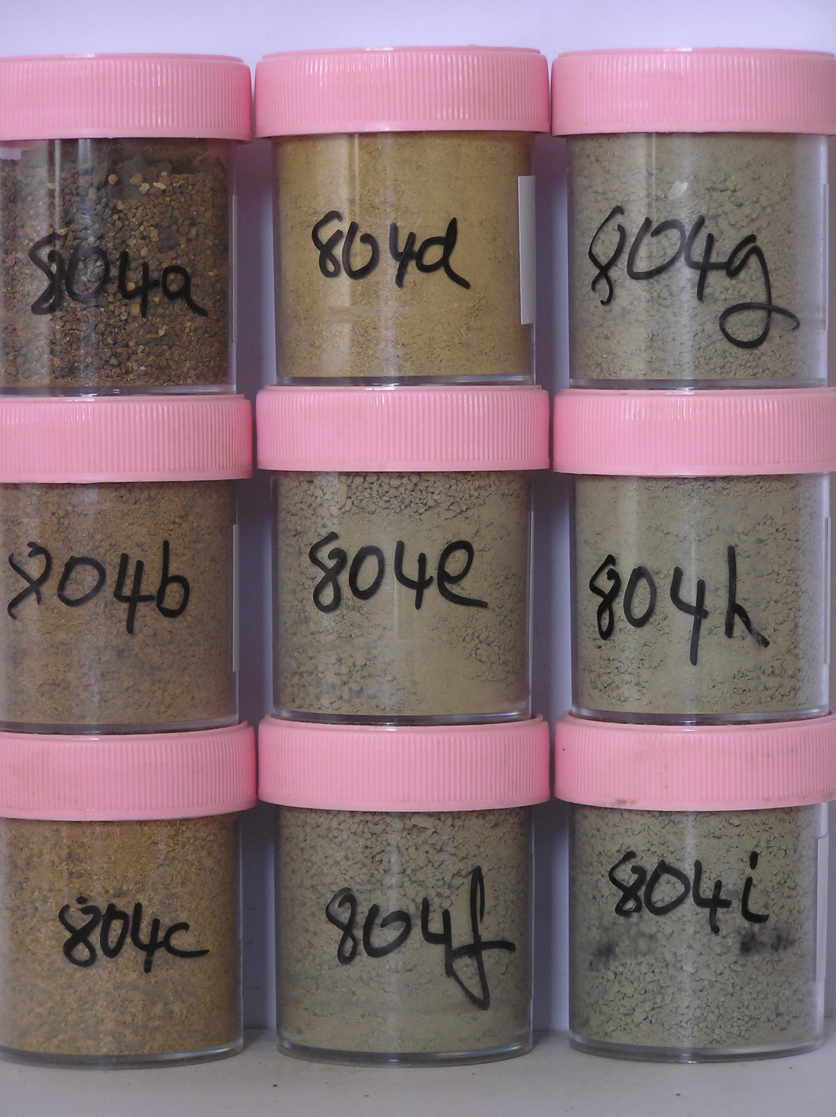
804a 3-0cm
101
surface cobbles, pebbles, and granular sand
102
moderately to strongly developed pavement with subrounded to subangular clasts
103
some strongly stained, most unstained and polished
104
some altered with reddish oxide coatings on fractured faces
105
salts and calcium carbonate coatings beneath some surface stones,
804b 0-2cm
201
strong brown (7.5YR 5/6) pebbly gravelly sand
202
weakly cohesive
203
weakly developed vesicular structure
204
rock particles subrounded to subangular, some stained and partly altered
205
distinct boundary,
804c 2-12cm
301
strong brown (7.5YR 5/6) pebbly to cobbly gravelly sand
302
moderately to strongly cohesive and salt cemented
303
abundant diffuse salts
304
rock particles subangular to subrounded and some partly stained
305
sharp boundary,
804d 12-22cm
401
strong brown (moist 7.5YR 5/6) gravel (drill core)
402
hard ice- cemented ground
403
rock particles subrounded and unstained,
804e 22-40cm
501
dark yellowish brown (moist 10YR 4/4) gravel (drill core)
502
hard ice- cemented ground,
804f 40-50cm
601
dark yellowish brown (moist 10YR 4/4) gravel (drill core)
602
hard ice-cemented ground,
804g 50-70cm
701
olive brown (moist 2.5Y 4/4) gravel (drill core)
702
hard ice- cemented ground,
804h 70-83cm
801
olive brown (moist 2.5Y 4/4) gravel (drill core)
802
hard ice- cemented ground
804i 83-105cm
901
grayish brown (moist 2.5Y 5/2) gravel (drill core)
902
hard ice- cemented ground,
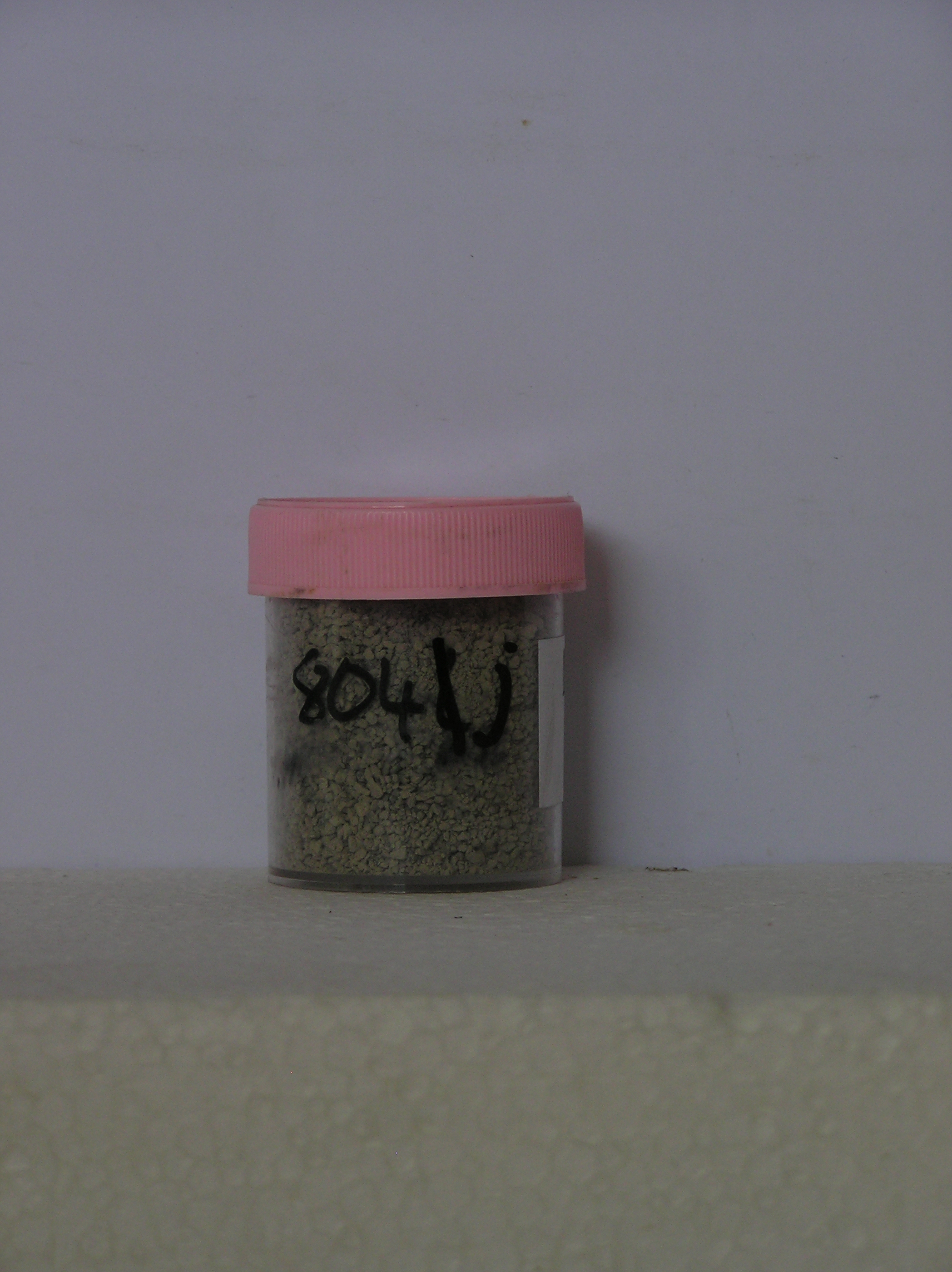
804j 105-120cm
1001
grayish brown (moist 2.5Y 5/2) gravel (drill core)
1002
hard ice-cemented ground
Yes
a,b,c,d,e,f,g,h,i,j
a,b,c,d,e,f,g,h,i,j
Hard ice-cemented
0
4
(ice-cemented at 22cm)
Geoland
| Rocks of the area are dominantly dolerite/volcanic (doleritic but dark coloured, fine grained and with a somewhat vesicular form compared with usual dolerite) |
| and softer haloclastite", (earlier described as tillite); the haloclastite contains basement rocks, dolerite and sandstone clasts with sedimentary structures in places; |
| it is softer and more erodible than the dolerite; the till cover across the area is quite variable and is generally thinner towards Mt Brooke and towards the higher |
| ridges; the till mantle has formed an undulating ridge and swale surface across the landscape with a mega-ripple appearance, which may relate to the manner in |
| which the ice sheets have retreated and ablated, rather than to subsequent landscape modification by wind; although the land surface has a mega ripple, the |
| deposits have no dune like characteristics" |
| Soluble Salt |
| Concentration |
80400001
804a
3-0cm
-3
0
15.15
1.07
none
80400002
804b
0-2cm
0
2
1.49
59.55
2.22
none
80400003
804c
2-12cm
2
12
1.28
63.43
5.96
none
80400004
804d
12-22cm
12
22
26.12
9.33
none
80400005
804e
22-40cm
22
40
71.93
11.59
none
80400006
804f
40-50cm
40
50
46.62
10.02
none
80400007
804g
50-70cm
50
70
47.39
10.19
none
80400008
804h
70-83cm
70
83
32.67
8.77
none
80400009
804i
83-105cm
83
105
34.39
10.00
none
80400010
804j
105-120cm
105
120
20.30
27.17
none
80400001
15.00
1.07
80400002
59.60
2.22
80400003
63.40
5.96
80400004
26.10
9.33
80400005
71.90
11.59
80400006
46.60
10.02
80400007
47.40
10.19
80400008
32.70
8.77
80400009
34.40
10.00
80400010
20.30
27.17
80400001
80400002
80400003
80400004
80400005
80400006
80400007
80400008
80400009
80400010
80400001
80400002
80400003
80400004
80400005
80400006
80400007
80400008
80400009
80400010
12-Dec-2005
Page 781 of 896
804