Ross Sea Region Soil Sites
806000
806
18-Jan-1995
IBC, GGC
Greenville Valley, southwest of Northwind Glacier in the Convoy Range
Permafrost and soil moisture investigations
not recorded
Lscp & CS Profile
No
160.8150
-76.7567
76deg 45.4'S
-160deg -48.9'E
cf. Notes for DESCR below
0
Nil
1,250
cf. Notes for GEOLAND below
1
-1.0
5
-2.0
10
-2.0
20
-4.0
30
-6.0
40
-6.5
50
-7.0
60
-7.5
70
-8.8
80
-9.0
| Xerous to sub xerous; several snowfalls and a recent fall within 36 hours; most snow cover |
| removed by ablation but some soil moistening in the upper few centimetres; no liquid flows |
-27
Central Mountain
Thin weathered doleritic and sandstone (Weller Coal Measures) drift over dark coloured sandstone drift or bedrock
Occasional yellow and green lichen in rock fissures and some patches of black lichen
Some weakly developed shallow patterned ground cracks near by
| SURFACE WEATHERING or |
| SURFACE FEATURES |
| Strongly developed pebble and cobble pavement with fine grained dolerite strongly pitted, oxidised and polished; coarse grained clasts strongly oxidised |
| and crumbled; abundant salts beneath surface clasts |
Nil
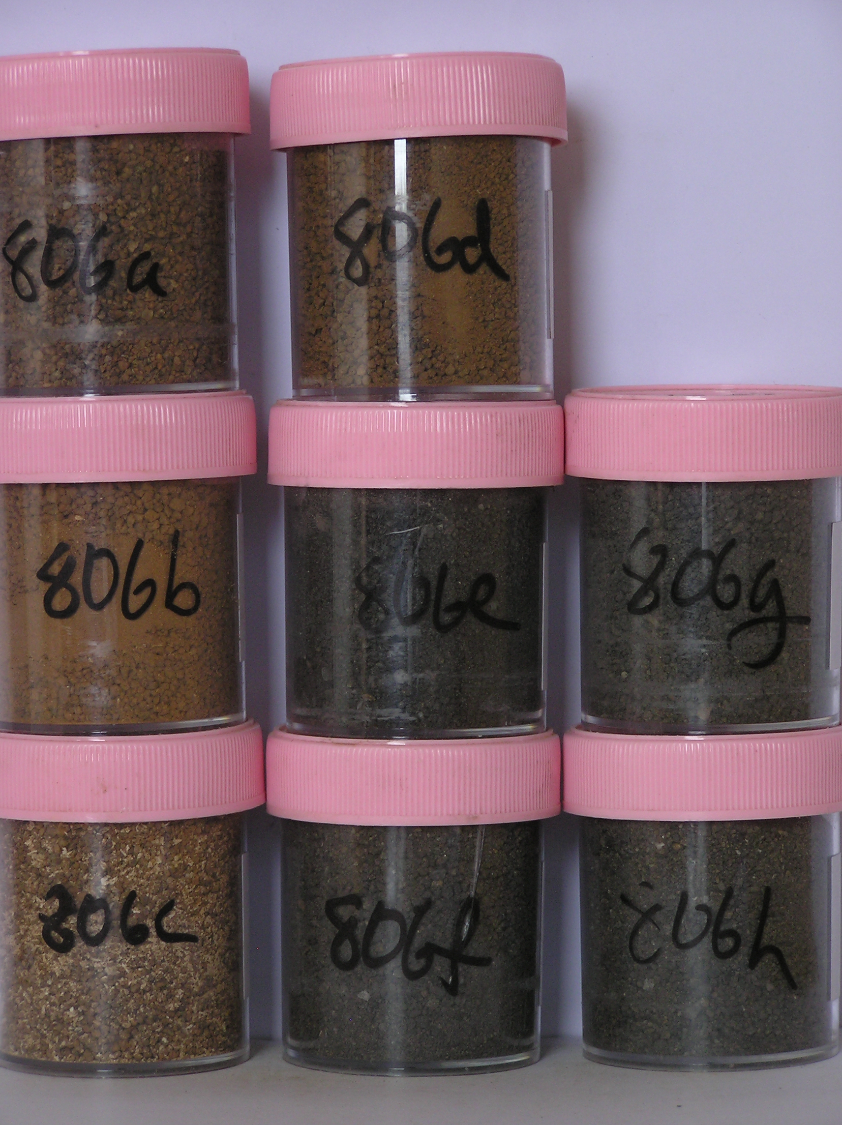
806a 3-0cm
101
surface pebbles, cobbles and small boulders
102
well developed pavement
103
dolerite and sandstone clasts rounded, strongly stained, weakly ventiform but strongly pitted
104
coarse grained dolerite strongly disaggregated,
806b 0-3cm
201
dark reddish brown (2.5Y 3/4) gravelly pebbly sand
202
moist
203
moderately cohesive with weakly developed vesicular structure
204
rock particles sub rounded, moderately stained and partly altered with some granite fragments highly altered
205
distinct boundary,
806c 3-10cm
301
yellowish red (5YR 5/6) bouldery gravelly sand
302
moist and slightly sticky
303
moderately cohesive
304
profuse salts
305
larger rock particles subangular and unstained but smaller particles moderately stained and altered
306
some larger clasts forming ghosts
307
indistinct boundary,
806d 10-32cm
401
yellowish red (5YR 4/6) bouldery sandy gravel
402
moderately cohesive
403
abundant diffuse salts
404
rock particles mainly unstained but some altered and crumbly
405
distinct boundary,
806e 32-50cm
501
very dark gray (5YR 3/1) bouldery gravel
502
firmly cohesive
503
boulders angular to subangular but some crumbly
504
indistinct boundary,
806f 50-70cm
601
very dark gray (5YR 3/1) bouldery gravel
602
firmly cohesive
603
boulders angular to subangular and unstained but some crumbly
604
indistinct boundary,
806g 70-90cm
701
very dark gray (5YR 3/1) bouldery gravel
702
indistinct boundary,
806h 90-95cm
801
very dark gray (5YR 3/1) bouldery gravel
Yes
a,b,c,d,e,f,g,h
Dry frozen
0
5
(0 cm)
Descr
| Approximately 200 m north of site 805; approximately 9 km WSW of Larsen Crag, on the south west side of Greenville Valley, on an undulating surface near |
| the northern end of a small basin forming the lower part of the valley floor; the site is on the northern lip of a small depression,,,,, |
Geoland
| Greenville Valley comprises mainly dolerite with some minor sedimentary rocks (Weller Coal Measures) and has been formed by ancient ice over riding the |
| Convoy Range from the west; valley head-wall deposits occur mainly around the south-western side of the valley and represent alpine glacial deposits; towards |
| the western end of Greenville Valley, the surface is a dolerite platform with a thin irregular till cover with occasional sandstone and decomposed granite erratics; |
| on the lower surfaces which slope and drain towards the north-east, tills deposits are more extensive, have more strongly developed patterned ground and have a |
| greater abundance of pink granite erratics,,,,, |
| Soluble Salt |
| Concentration |
80600001
806a
3-0cm
-3
0
14.01
0.78
none
80600002
806b
0-3cm
0
3
1.41
70.14
4.40
none
80600003
806c
3-10cm
3
10
1.30
68.80
6.65
none
80600004
806d
10-32cm
10
32
1.48
54.74
2.62
none
80600005
806e
32-50cm
32
50
1.36
64.40
3.69
none
80600006
806f
50-70cm
50
70
1.52
50.31
3.69
none
80600007
806g
70-90cm
70
90
1.52
37.61
4.82
none
80600008
806h
90-95cm
90
95
1.44
14.89
3.38
none
80600001
14.00
0.78
80600002
70.00
4.40
80600003
68.80
6.65
80600004
54.70
2.62
80600005
64.40
3.69
80600006
50.30
3.69
80600007
37.60
4.82
80600008
14.90
3.38
80600001
80600002
80600003
80600004
80600005
80600006
80600007
80600008
80600001
80600002
80600003
80600004
80600005
80600006
80600007
80600008
12-Dec-2005
Page 783 of 896
806