Ross Sea Region Soil Sites
809000
809
20-Jan-1995
IBC, GGC
Greenville Valley, southwest of Northwind Glacier in the Convoy Range
Permafrost and soil moisture investigations
not recorded
Lscp & CS Profile
No
160.7520
-76.7717
76deg 46.3'S
-160deg -45.1'E
cf. Notes for DESCR below
0
nil
1,400
cf. Notes for GEOLAND below
| Xerous to sub xerous; several snowfalls and a recent fall within 7 days; most snow cover |
| removed by ablation but some soil moistening in the upper few centimetres; no liquid flows |
-27
Central Mountain
Predominantly sandstone (95%) with some dolerite, as a thin cover of local drift over sandstone bedrock and ice cemented ground
Occasional yellow and green lichen in rock fissures and some patches of black lichen
Nil at site
| SURFACE WEATHERING or |
| SURFACE FEATURES |
| Sandstone clasts form a well developed pavement and have strong ventiform features; surface staining and polish are moderately to strongly developed; salt |
| deposits occur beneath surface stones |
Nil
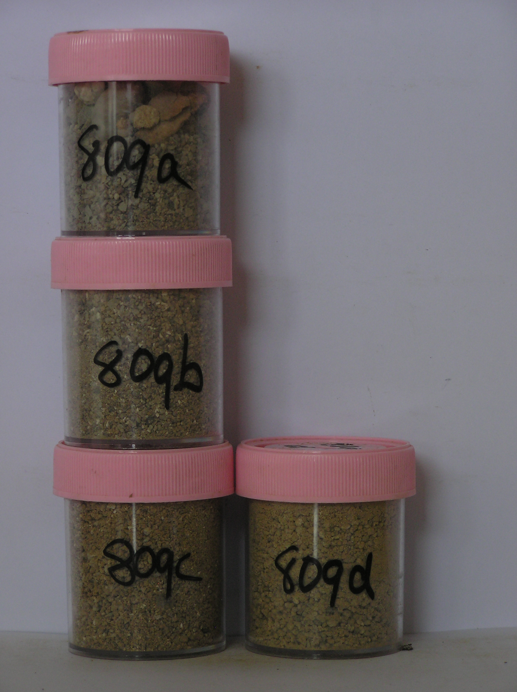
809a 4-0cm
101
surface cobbles, pebbles and small boulders mainly sandstone
102
well developed pavement
103
clasts mainly subrounded to rounded, strongly stained and polished
104
some exfoliating
105
weakly ventiform
106
salts beneath many surface stones,
809b 0-2cm
201
yellowish brown (10YR 5/6) pebbly to cobbly gravelly sand
202
loose
203
patches of salts around and beneath stones
204
rock particles mainly subrounded, angular to rounded and non to moderately stained
205
some particles strongly altered
206
distinct boundary,
809c 2-14cm
301
yellowish brown (10YR 5/6) pebbly to bouldery gravel
302
weakly to moderately cohesive
303
few salt accretions
304
rock particles mainly angular and unstained
305
many smaller particles disaggregating and forming ghosts
306
distinct boundary,
809d 14-35cm
401
light yellowish brown (10YR 6/6) silty to sandy cobble and boulder gravel
402
weakly cohesive to loose
403
sandstone rock particles angular and unstained
404
some sandstone clasts disaggregating and forming ghosts
405
sharp boundary, on sandstone bedrock
Yes
a,b,c,d
Dry frozen bedrock
0
4
Geoland
| Greenville Valley comprises mainly dolerite with some minor sedimentary rocks (Weller Coal Measures) and has been formed by ancient ice over riding the |
| Convoy Range from the west; valley head-wall deposits occur mainly around the south-western side of the valley and represent alpine glacial deposits; towards |
| the western end of Greenville Valley, the surface is a dolerite platform with a thin irregular till cover with occasional sandstone and decomposed granite erratics; |
| on the lower surfaces which slope and drain towards the north-east, tills deposits are more extensive, have more strongly developed patterned ground and have a |
| greater abundance of pink granite erratics; at this site dolerite and sedimentary rocks intermix in narrow bands and form a mosaic on the ground surface; the till |
| cover is thin and patchy with the regolith consisting mainly of fractured bedrock,,,,, |
Descr
| Approximately 10.5km SW of Larsen Crag, at the head of Greenville Valley, about 200m from outcrops of the Weller Coal Measures Formation; the surface is |
| part of an extensive almost flat surface forming the head of the valley but which has minor undulations about 1m high resulting from ice scouring; the profile site |
| is on the crest of a small rise,,,,, |
| Soluble Salt |
| Concentration |
80900001
809a
4-0cm
-4
0
10.50
0.60
none
80900002
809b
0-2cm
0
2
1.40
62.22
2.66
none
80900003
809c
2-14cm
2
14
1.20
51.73
4.46
none
80900004
809d
14-35cm
14
35
1.33
52.22
2.52
none
80900001
10.50
0.60
80900002
62.20
2.66
80900003
51.70
4.46
80900004
52.20
2.52
80900001
80900002
80900003
80900004
80900001
80900002
80900003
80900004
12-Dec-2005
Page 786 of 896
809