Getting to the root causes of soil erosion using high-res remote sensing
Getting to the root causes of soil erosion using high-res remote sensing
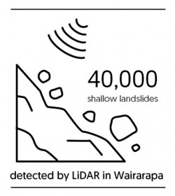 Within the MBIE research programme Smarter Targeting of Erosion Control (STEC), scientists at Manaaki Whenua have been using new remote sensing techniques to fill these data gaps, mapping over 100,000 landslide scars from high-resolution satellite or aerial imagery across the North Island.
The latest mapping uses very high resolution (0.5 m) satellite imagery from storm events in the Horizons (2018 storm), Waikato (2017), Auckland (2017), Hawke’s Bay (2011), and Greater Wellington (2005–2010) regions, complementing previous landslide mapping in the Horizons and Northland regions over many decades.
These landslide inventories form the basis for machine learning models that predict where landslides may occur in future based on landscape factors such as topography, land cover and rock type. Regional-scale modelling of shallow landslide susceptibility for Hawke’s Bay and Horizons is now complete.